Hills of Britain and Ireland
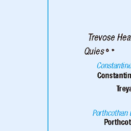
OS Map of Carter's Rocks North

The Crazy Gang
This is Lilly Digby and Baby Alice our 3 current pointers having fun in Cornwall
09-Oct-24 • Englishpointers • flickr
pointers englishpointer beach dogs hollywellbay cornwall 54053429942


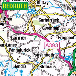
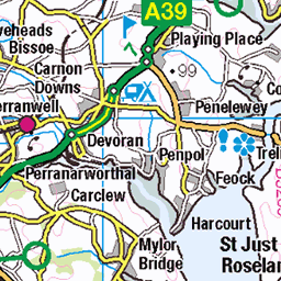
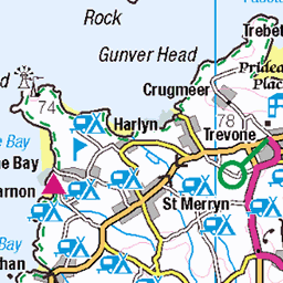
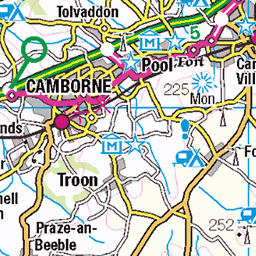
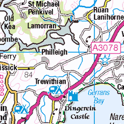
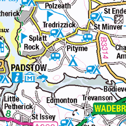
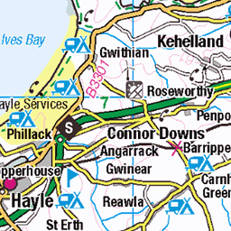
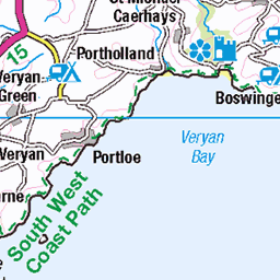
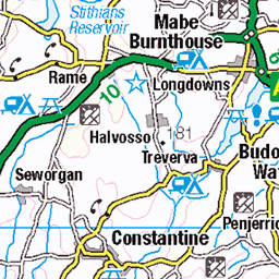
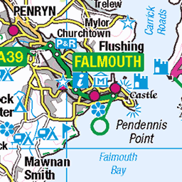
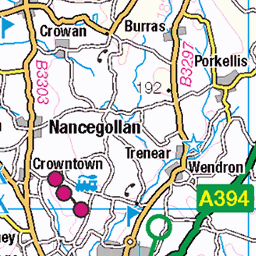
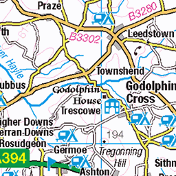
OS Map
This is OS mapping. In some areas, OpenStreetMap shows more footpaths
Spatial NI has online OSNI mapping. Click "Basemap Gallery" (4 squares icon at the top).
Now would be a good time for a cup of tea.


GPX Editor
Record map clicks
Reload map
Photos
Please tag your photos and upload them to the British and Irish Mountains group on Flickr
The other photos have been geo-tagged as on or around the summit. For less busy mountains, it can be a little hit and miss.
The Crazy Gang
This is Lilly Digby and Baby Alice our 3 current pointers having fun in Cornwall
09-Oct-24 • Englishpointers • flickr
pointers englishpointer beach dogs hollywellbay cornwall 54053429942


Holywell
27-Jun-24 • jimj0will . • flickr
nazitrust nationaltrust coast coastpath gullrocks beach cornwall cornish fence fenced fencedfriday 54201354687
Videos
"A silent image of our desire for survival, peace and security." Modernest sculptor Barbara Hepworth collects stones on the shore ...
Notes
- Data: Database of British and Irish Hills v18.2
- Maps: We use OS mapping for England, Scotland, Wales, and the Isle of Man. Sadly, Channel Islands, Northern (OSNI) and Southern Ireland (OSI) mapping isn't available online, so we use Openstreetmap.