Hills of Britain and Ireland
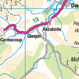
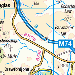
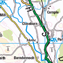
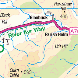
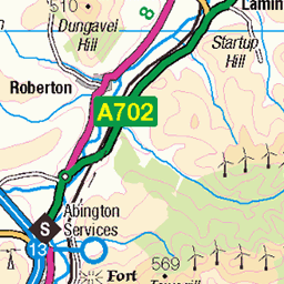
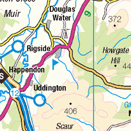
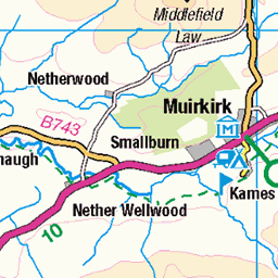
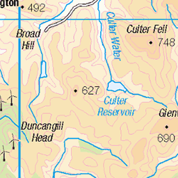
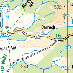
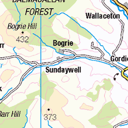
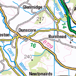
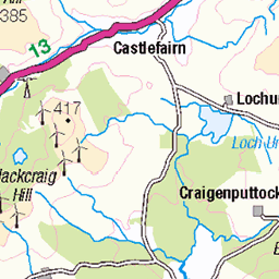
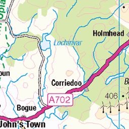
OS Map of Cairn Hill
Height: 451m / 1480ft • Prominence: 159m / 522ft • Summit : small cairn at junction of fences • Trip reports (hill-bagging)

Cottongrass
Came across some lovely big areas of cottongrass on the hillside today.
31-May-18 • We travel the Spaceways • flickr
41777597204

Looking towards Glenim
The sun took a while to put in an appearance today but it was pretty hot when it did.
31-May-18 • We travel the Spaceways • flickr
42448292992
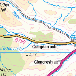
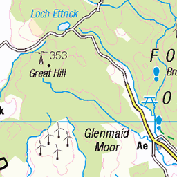
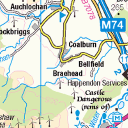
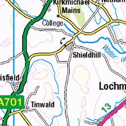
OS Map
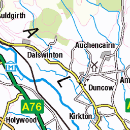
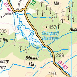
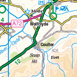
This is OS mapping. In some areas, OpenStreetMap shows more footpaths
Spatial NI has online OSNI mapping. Click "Basemap Gallery" (4 squares icon at the top).
Now would be a good time for a cup of tea.


GPX Editor
Record map clicks
Reload map
Photos
Please tag your photos and upload them to the British and Irish Mountains group on Flickr
The other photos have been geo-tagged as on or around the summit. For less busy mountains, it can be a little hit and miss.
Cottongrass
Came across some lovely big areas of cottongrass on the hillside today.
31-May-18 • We travel the Spaceways • flickr
41777597204
Looking towards Glenim
The sun took a while to put in an appearance today but it was pretty hot when it did.
31-May-18 • We travel the Spaceways • flickr
42448292992
Videos
Crawick Multiverse is an amazing land art installation to explore and enjoy cosmology, science and art in the beautiful landscape.
Notes
- Data: Database of British and Irish Hills v18.2
- Maps: We use OS mapping for England, Scotland, Wales, and the Isle of Man. Sadly, Channel Islands, Northern (OSNI) and Southern Ireland (OSI) mapping isn't available online, so we use Openstreetmap.