Hills of Britain and Ireland
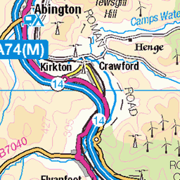
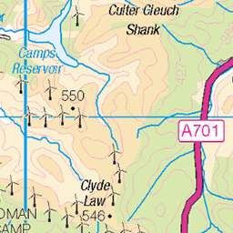
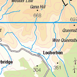
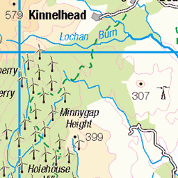
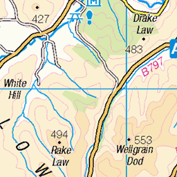
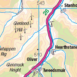
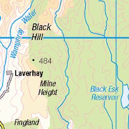
OS Map of Hods Hill
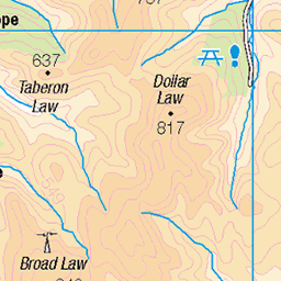
Height: 569m / 1867ft • Prominence: 173m / 568ft • Summit : straining post at fence corner • Trip reports (hill-bagging)


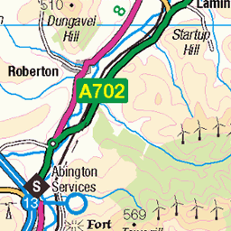
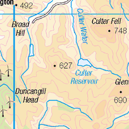
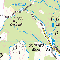
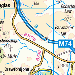
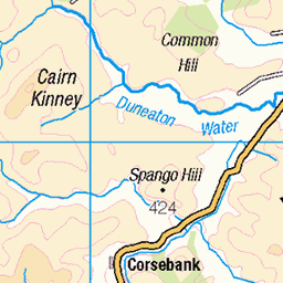
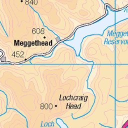
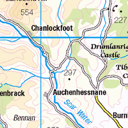
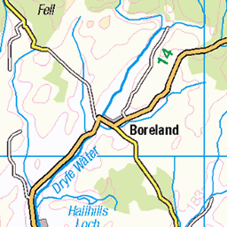
OS Map
This is OS mapping. In some areas, OpenStreetMap shows more footpaths
Spatial NI has online OSNI mapping. Click "Basemap Gallery" (4 squares icon at the top).
Now would be a good time for a cup of tea.


GPX Editor
Record map clicks
Reload map
Photos
Please tag your photos and upload them to the British and Irish Mountains group on Flickr
The other photos have been geo-tagged as on or around the summit. For less busy mountains, it can be a little hit and miss.
Videos
If you would like to find out how I manage to take advantage of the online casinos offers and make money playing online slots, ...
If you would like to find out how I manage to take advantage of the online casinos offers and make money playing online slots, ...
The Casino Sites Online Team reach the Wheel King level in a progressive Jackpot King slot for a £3.4m prize! See if we Hit the ...
God's Message: | God Message Today #christianmotivation #jesus #godmessage. This Video Includes All These Searches: ...
https://www.slotswise.com/online-slots/playtech/age-of-the-gods-slots/ Play the first-ever edition of the famed Age of the Gods slot ...
Notes
- Data: Database of British and Irish Hills v18.2
- Maps: We use OS mapping for England, Scotland, Wales, and the Isle of Man. Sadly, Channel Islands, Northern (OSNI) and Southern Ireland (OSI) mapping isn't available online, so we use Openstreetmap.