Hills of Britain and Ireland
OS Map of Alwhat
Height: 628m / 2060ft • Prominence: 62m / 203ft • Summit : no feature: ground 3m N of fence junction • Trip reports (hill-bagging)

Craig Shuttleton - Afton Peatland Restoration 2
01-Nov-23 • George Leslie - Est 1964 • flickr
53768063927

Craig Shuttleton - Afton Peatland Restoration 1
01-Nov-23 • George Leslie - Est 1964 • flickr
53769396505


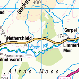
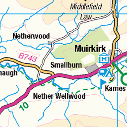
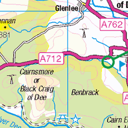
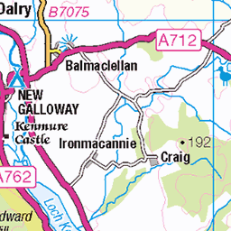
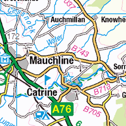
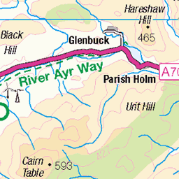
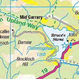
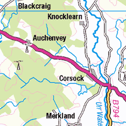
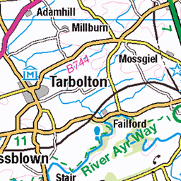
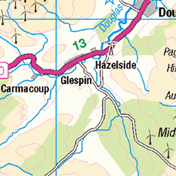
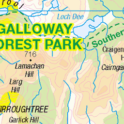
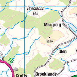
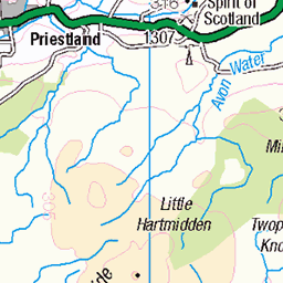
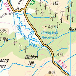
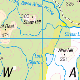
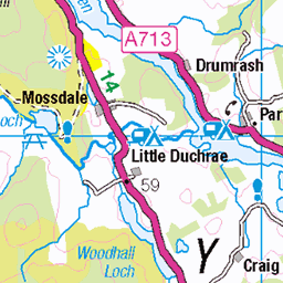
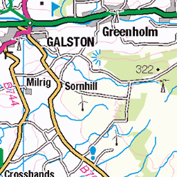
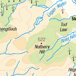
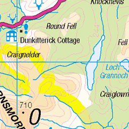
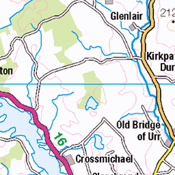
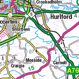
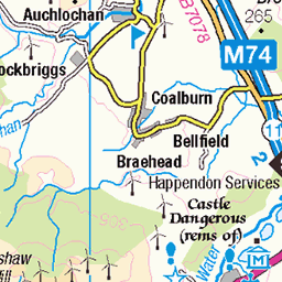
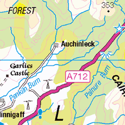
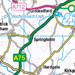
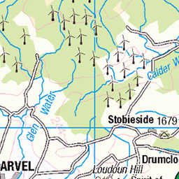
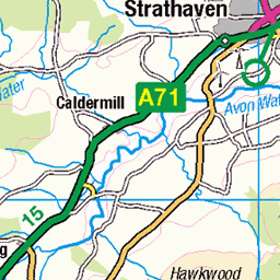
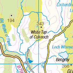
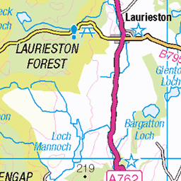
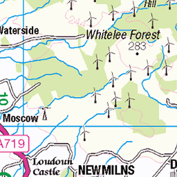
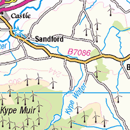
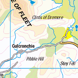
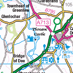
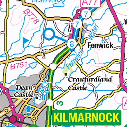
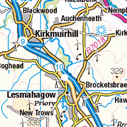
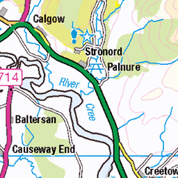
OS Map
This is OS mapping. In some areas, OpenStreetMap shows more footpaths
Spatial NI has online OSNI mapping. Click "Basemap Gallery" (4 squares icon at the top).
Now would be a good time for a cup of tea.

GPX Editor
Record map clicks
Reload map
Photos
Please tag your photos and upload them to the British and Irish Mountains group on Flickr
The other photos have been geo-tagged as on or around the summit. For less busy mountains, it can be a little hit and miss.
Craig Shuttleton - Afton Peatland Restoration 2
01-Nov-23 • George Leslie - Est 1964 • flickr
53768063927
Craig Shuttleton - Afton Peatland Restoration 1
01-Nov-23 • George Leslie - Est 1964 • flickr
53769396505
Videos
None found
Notes
- Data: Database of British and Irish Hills v18.2
- Maps: We use OS mapping for England, Scotland, Wales, and the Isle of Man. Sadly, Channel Islands, Northern (OSNI) and Southern Ireland (OSI) mapping isn't available online, so we use Openstreetmap.