Hills of Britain and Ireland
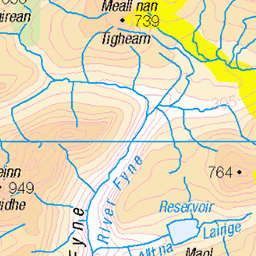
OS Map of Beinn nan Imirean

P1105875
Wider view of a frozen lochan on the side of Beinn nan Imirean above Glen Dochart
26-Nov-24 • Knee Bother • flickr
54167820756

P1105882
Frozen lochan on the side of Beinn nan Imirean above Glen Dochart
26-Nov-24 • Knee Bother • flickr
54168130469


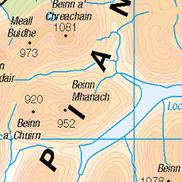
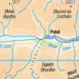
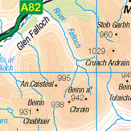
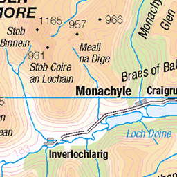
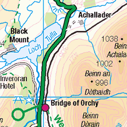
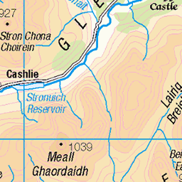
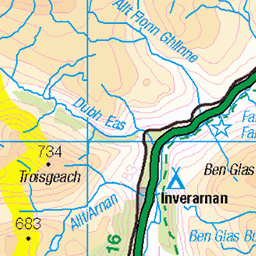
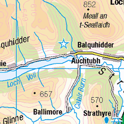
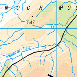
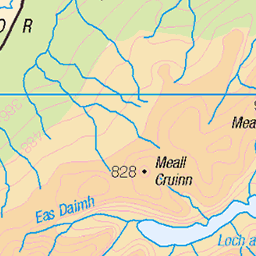
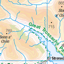
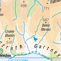
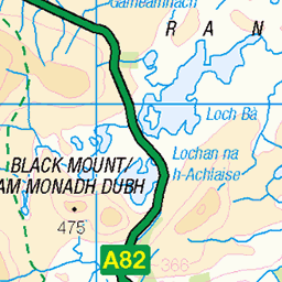
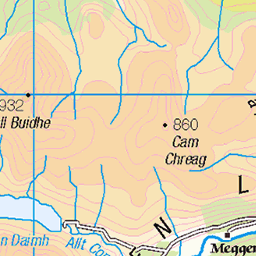
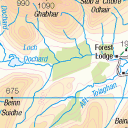
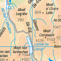
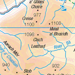
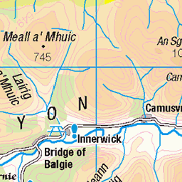
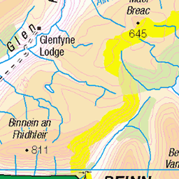
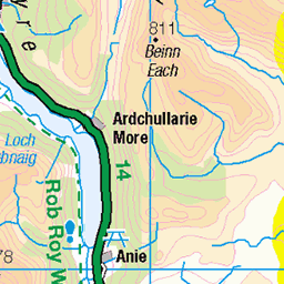
OS Map
This is OS mapping. In some areas, OpenStreetMap shows more footpaths
Spatial NI has online OSNI mapping. Click "Basemap Gallery" (4 squares icon at the top).
Now would be a good time for a cup of tea.
GPX Editor
Record map clicks
Reload map
Photos
Please tag your photos and upload them to the British and Irish Mountains group on Flickr
The other photos have been geo-tagged as on or around the summit. For less busy mountains, it can be a little hit and miss.
P1105875
Wider view of a frozen lochan on the side of Beinn nan Imirean above Glen Dochart
26-Nov-24 • Knee Bother • flickr
54167820756
P1105882
Frozen lochan on the side of Beinn nan Imirean above Glen Dochart
26-Nov-24 • Knee Bother • flickr
54168130469


Videos
Panoramic shot from the top of Beinn nan Imirean.
Summit of Beinn nan Imirean on very warm September day #hills #hillwalking #scotland #corbetts #nature #summer #summit.
Amazing weather conditions across the West of Scotland made for a spectacular trip to Crainlarich. Come with me as we ascend ...
Notes
- Data: Database of British and Irish Hills v18.2
- Maps: We use OS mapping for England, Scotland, Wales, and the Isle of Man. Sadly, Channel Islands, Northern (OSNI) and Southern Ireland (OSI) mapping isn't available online, so we use Openstreetmap.