Hills of Britain and Ireland
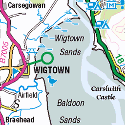
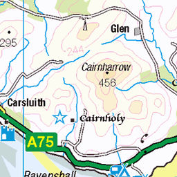
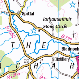
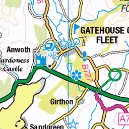
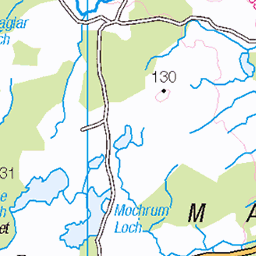
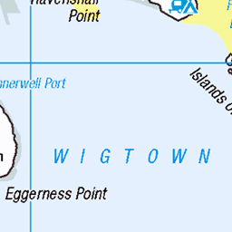
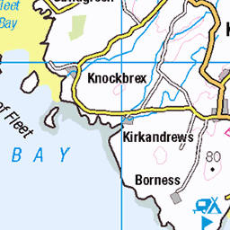
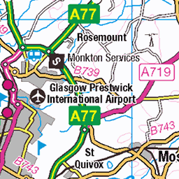
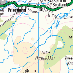
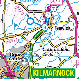
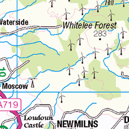
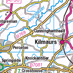
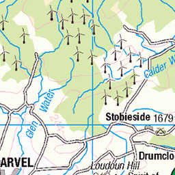
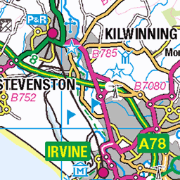
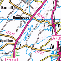
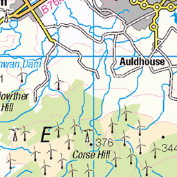
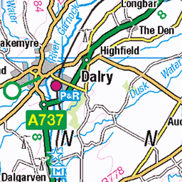
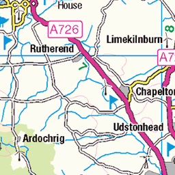
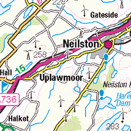
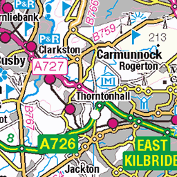
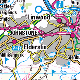
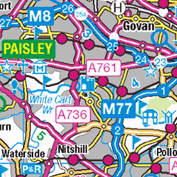
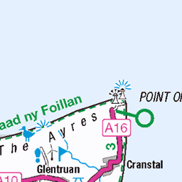
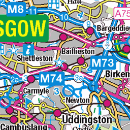
OS Map of Dungeon Hill
Height: 621m / 2037ft • Prominence: 116m / 381ft • Summit : rock slab 6m W of cairn • Trip reports (hill-bagging)


Key to the Kells
The Craignaw/Dungeon Hill col - our doorway to the Rhinns of Kells range (via the bog of Silver Flowe!)
27-Sep-15 • clivenorton • flickr
21821255181

Lochs Neldricken & Valley from the flanks of Craignairny
27-Sep-15 • clivenorton • flickr
21623873258


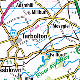
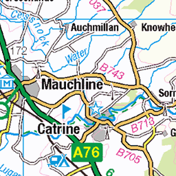
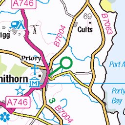
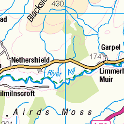
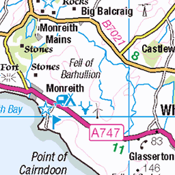
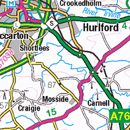
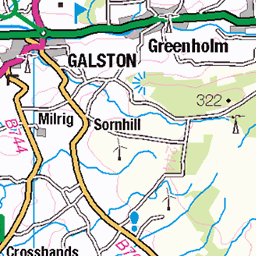
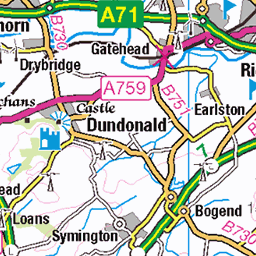
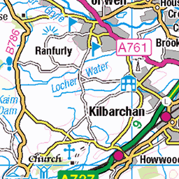
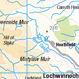
OS Map
This is OS mapping. In some areas, OpenStreetMap shows more footpaths
Spatial NI has online OSNI mapping. Click "Basemap Gallery" (4 squares icon at the top).
Now would be a good time for a cup of tea.


GPX Editor
Record map clicks
Reload map
Photos
Please tag your photos and upload them to the British and Irish Mountains group on Flickr
The other photos have been geo-tagged as on or around the summit. For less busy mountains, it can be a little hit and miss.
Key to the Kells
The Craignaw/Dungeon Hill col - our doorway to the Rhinns of Kells range (via the bog of Silver Flowe!)
27-Sep-15 • clivenorton • flickr
21821255181
Lochs Neldricken & Valley from the flanks of Craignairny
27-Sep-15 • clivenorton • flickr
21623873258


Videos
Loch Doon - a wonderful scenic viewpoint - offers plentiful Hiking options for the walker including Hoodens Hill - the Northernmost ...
Winter wild camping with my dog on a Scottish mountain in extreme winter conditions and heavy snow. This is my coldest wild ...
Merrick Mountain Solo Hike - Wild Camp Loch Enoch Scotland. I followed the Merrick trail early afternoon. Passing by Culsharg ...
A wonderful walk available around Loch Trool in Galloway Forrest Park. Very well marked route and very good paths around the ...
Notes
- Data: Database of British and Irish Hills v18.2
- Maps: We use OS mapping for England, Scotland, Wales, and the Isle of Man. Sadly, Channel Islands, Northern (OSNI) and Southern Ireland (OSI) mapping isn't available online, so we use Openstreetmap.