Hills of Britain and Ireland
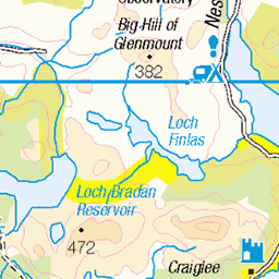
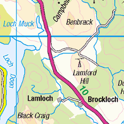
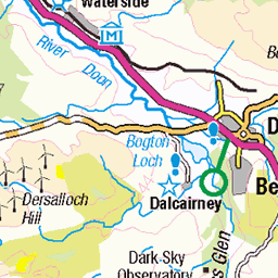
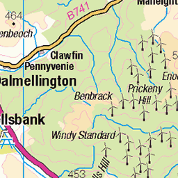
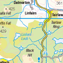
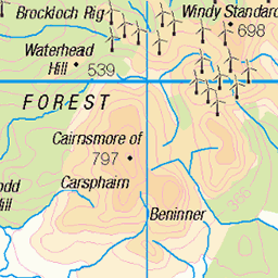
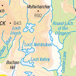
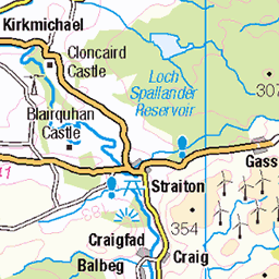
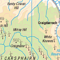
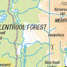
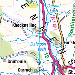
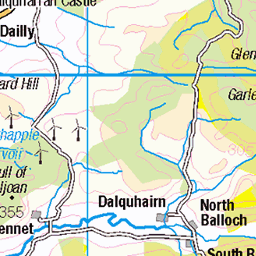
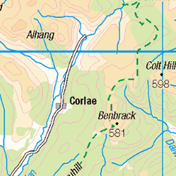
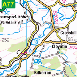
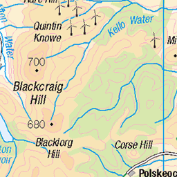
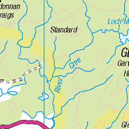
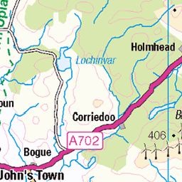
OS Map of Coran of Portmark (Corran of Portmark)
OS Map
This is OS mapping. In some areas, OpenStreetMap shows more footpaths
Spatial NI has online OSNI mapping. Click "Basemap Gallery" (4 squares icon at the top).
Now would be a good time for a cup of tea.

GPX Editor
Record map clicks
Reload map
Photos
Please tag your photos and upload them to the British and Irish Mountains group on Flickr
The other photos have been geo-tagged as on or around the summit. For less busy mountains, it can be a little hit and miss.
Videos
A great dry day for a walk down at Loch Doon as we walk a route up Black Craig and Coran of Portmark. A bit slippery on the ...
Carrick Lane burn flowing into the top end of Loch Doon. Bow, Coran of Portmark and Black Craig in the background. Beautiful ...
Headed south for a different type of bike and hike to tick off some Corbett's.
On a very hot day we head to the Galloway hills to tackle the Rhinns of Kells walk. 16 miles and approx 4440 feet of ascent.
Notes
- Data: Database of British and Irish Hills v18.2
- Maps: We use OS mapping for England, Scotland, Wales, and the Isle of Man. Sadly, Channel Islands, Northern (OSNI) and Southern Ireland (OSI) mapping isn't available online, so we use Openstreetmap.