Hills of Britain and Ireland
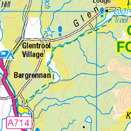
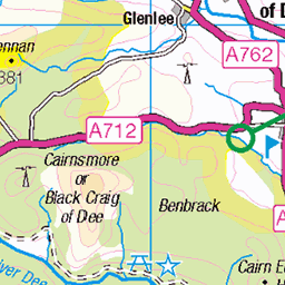
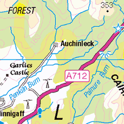
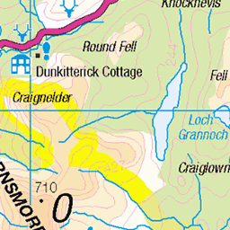
OS Map of Craignaw
Height: 646m / 2119ft • Prominence: 151m / 495ft • Summit : cairn on top of large boulder • Trip reports (hill-bagging)


Key to the Kells
The Craignaw/Dungeon Hill col - our doorway to the Rhinns of Kells range (via the bog of Silver Flowe!)
27-Sep-15 • clivenorton • flickr
21821255181

Lochs Neldricken & Valley from the flanks of Craignairny
27-Sep-15 • clivenorton • flickr
21623873258


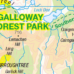
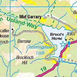
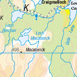
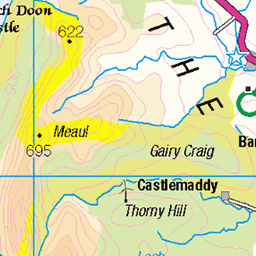
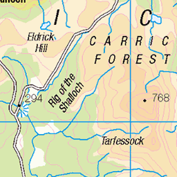
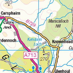
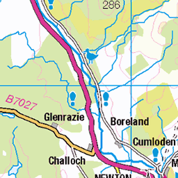
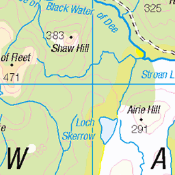
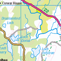
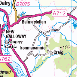
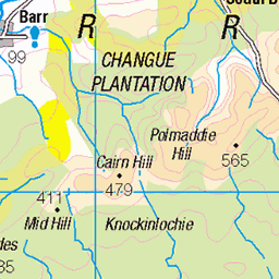
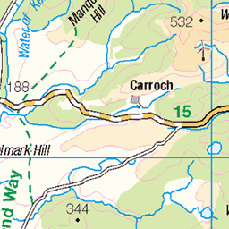
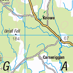
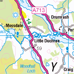
OS Map
This is OS mapping. In some areas, OpenStreetMap shows more footpaths
Spatial NI has online OSNI mapping. Click "Basemap Gallery" (4 squares icon at the top).
Now would be a good time for a cup of tea.
GPX Editor
Record map clicks
Reload map
Photos
Please tag your photos and upload them to the British and Irish Mountains group on Flickr
The other photos have been geo-tagged as on or around the summit. For less busy mountains, it can be a little hit and miss.
Key to the Kells
The Craignaw/Dungeon Hill col - our doorway to the Rhinns of Kells range (via the bog of Silver Flowe!)
27-Sep-15 • clivenorton • flickr
21821255181
Lochs Neldricken & Valley from the flanks of Craignairny
27-Sep-15 • clivenorton • flickr
21623873258


Videos
Join us on another hiking and camping adventure in the remote wilderness of Galloway, Scotland! Tent; OEX Phoxx 2v2 ...
'Before Caledonia' A Journey Through Scotland's Ancient Sites. ---------- PayPal - One off Donation ...
Myself and Ryan spending two nights camping in the Galloway forest at a different location each night.
Please consider buying me a coffee: https://tinyurl.com/ydp7v3ak Merch Store: https://tinyurl.com/2p8sx4uu Route profile: ...
Notes
- Data: Database of British and Irish Hills v18.2
- Maps: We use OS mapping for England, Scotland, Wales, and the Isle of Man. Sadly, Channel Islands, Northern (OSNI) and Southern Ireland (OSI) mapping isn't available online, so we use Openstreetmap.