Hills of Britain and Ireland
OS Map of Meaul

V12 Rolls Royce Merlin
Hawker Hurricane. fiveprime.org/blackmagic" rel="nofollow View on black Location >> | www.robogeo.com/Flickr2Map/?type=map" target="_blank" rel="nofollow Map | www.robogeo.com/Flickr2Map/?type=map&view=satellite" target="_blank" rel="nofollow Satellite | www.robogeo.com/Flickr2Map/?type=map&view=hybrid" target="_blank" rel="nofollow Hybrid | www.robogeo.com/Flickr2Map/?type=map&view=terrain" target="_blank" rel="nofollow Terrain | www.robogeo.com/Flickr2Map/" rel="nofollow Google Earth |
12-Nov-09 • John C Ayr • flickr
canada forest geotagged fire march flying site airport nikon rust break force crash decay aircraft air tiger hurricane wwii roswell royal canadian aeroplane tokina merlin ww2 pro rolls loch gps wreck ayr ltd geotag murray fo wreckage f28 officer royce 116 raf 1944 hawker prestwick pik gannet aerodrome dumfries galloway squadron doon dx rcaf hms atx v12 wagtail mkiv d300 439 mactavish egpk lochdoon lochhead 1116mm geo:lon=4374146 ld564 geo:lat=55199729 4098992172
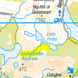
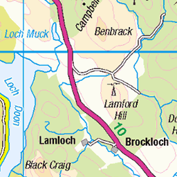
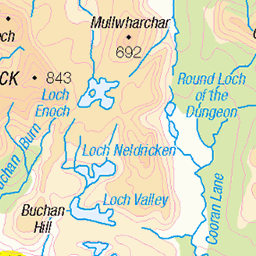
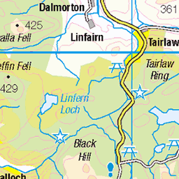
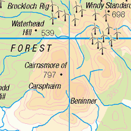
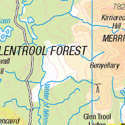
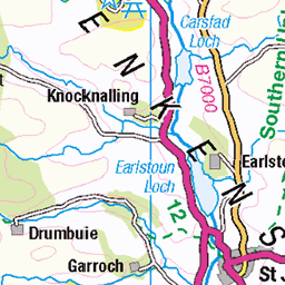
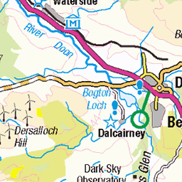
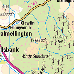
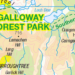
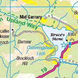
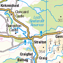
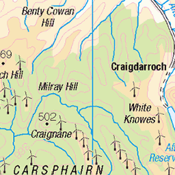
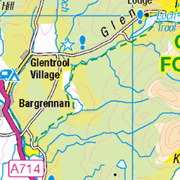
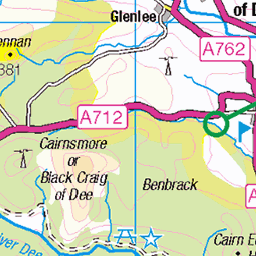
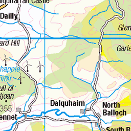
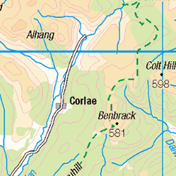
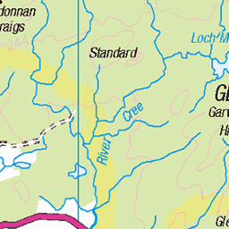
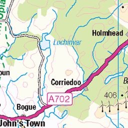
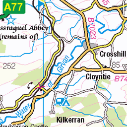
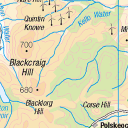
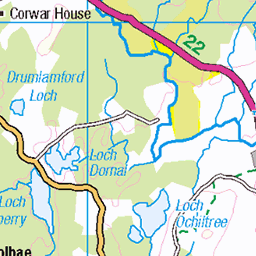
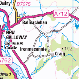
OS Map
This is OS mapping. In some areas, OpenStreetMap shows more footpaths
Spatial NI has online OSNI mapping. Click "Basemap Gallery" (4 squares icon at the top).
Now would be a good time for a cup of tea.

GPX Editor
Record map clicks
Reload map
Photos
Please tag your photos and upload them to the British and Irish Mountains group on Flickr
The other photos have been geo-tagged as on or around the summit. For less busy mountains, it can be a little hit and miss.
V12 Rolls Royce Merlin
Hawker Hurricane. fiveprime.org/blackmagic" rel="nofollow View on black Location >> | www.robogeo.com/Flickr2Map/?type=map" target="_blank" rel="nofollow Map | www.robogeo.com/Flickr2Map/?type=map&view=satellite" target="_blank" rel="nofollow Satellite | www.robogeo.com/Flickr2Map/?type=map&view=hybrid" target="_blank" rel="nofollow Hybrid | www.robogeo.com/Flickr2Map/?type=map&view=terrain" target="_blank" rel="nofollow Terrain | www.robogeo.com/Flickr2Map/" rel="nofollow Google Earth |
12-Nov-09 • John C Ayr • flickr
canada forest geotagged fire march flying site airport nikon rust break force crash decay aircraft air tiger hurricane wwii roswell royal canadian aeroplane tokina merlin ww2 pro rolls loch gps wreck ayr ltd geotag murray fo wreckage f28 officer royce 116 raf 1944 hawker prestwick pik gannet aerodrome dumfries galloway squadron doon dx rcaf hms atx v12 wagtail mkiv d300 439 mactavish egpk lochdoon lochhead 1116mm geo:lon=4374146 ld564 geo:lat=55199729 4098992172
Videos
On The 18th March 1944 during a routine fuel stop. Canadian pilot Roswell Murray MacTavish and his Hawker Hurricane he was ...
PART 2- On The 18th March 1944 during a routine fuel stop. Canadian pilot Roswell Murray MacTavish and his Hawker Hurricane ...
Notes
- Data: Database of British and Irish Hills v18.2
- Maps: We use OS mapping for England, Scotland, Wales, and the Isle of Man. Sadly, Channel Islands, Northern (OSNI) and Southern Ireland (OSI) mapping isn't available online, so we use Openstreetmap.