Hills of Britain and Ireland
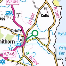
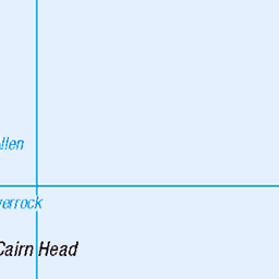
OS Map of Shalloch on Minnoch
Height: 774m / 2540ft • Prominence: 194m / 636ft • Summit : pointed rock by cairn • Trip reports (hill-bagging)

1692 View Towards Shalloch on Minnoch
Shalloch on Minnoch is in the distance after Tarfessock South Top and then Tarfessock.
24-Mar-18 • Dugswell2 • flickr
shallochonminnoch tarfessocksouthtop tarfessock 40371303414


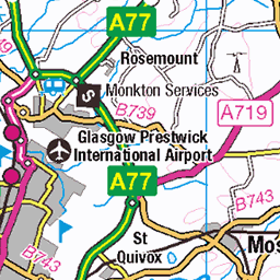
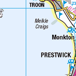
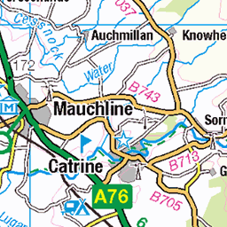
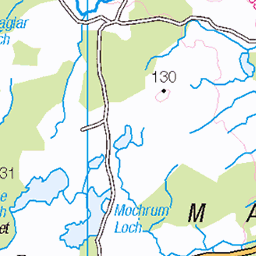
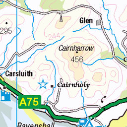
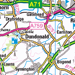
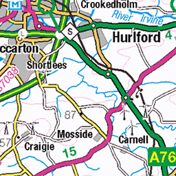
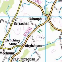
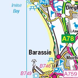
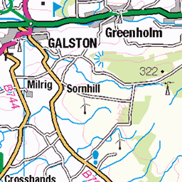
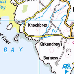
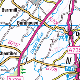
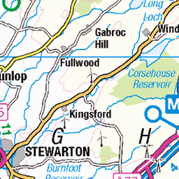
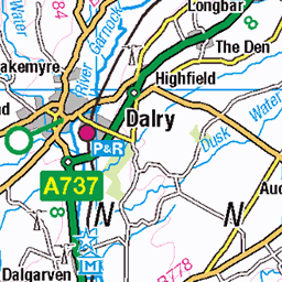
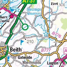
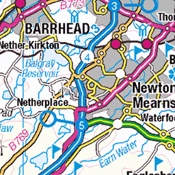
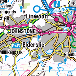
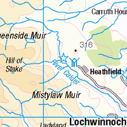
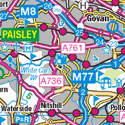
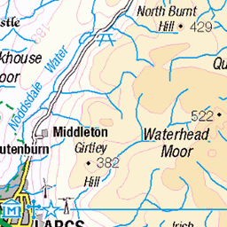
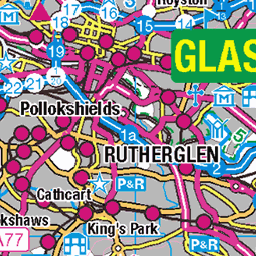
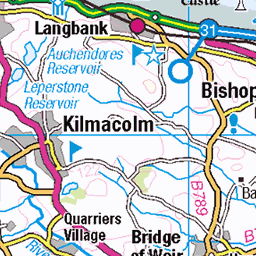
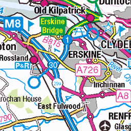
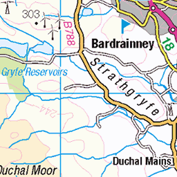
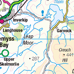
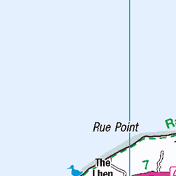
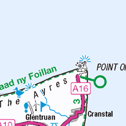
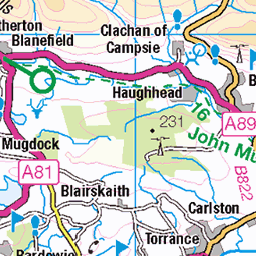
OS Map
This is OS mapping. In some areas, OpenStreetMap shows more footpaths
Spatial NI has online OSNI mapping. Click "Basemap Gallery" (4 squares icon at the top).
Now would be a good time for a cup of tea.


GPX Editor
Record map clicks
Reload map
Photos
Please tag your photos and upload them to the British and Irish Mountains group on Flickr
The other photos have been geo-tagged as on or around the summit. For less busy mountains, it can be a little hit and miss.
1692 View Towards Shalloch on Minnoch
Shalloch on Minnoch is in the distance after Tarfessock South Top and then Tarfessock.
24-Mar-18 • Dugswell2 • flickr
shallochonminnoch tarfessocksouthtop tarfessock 40371303414


Tarfessock (697m)
Probably the low point of the walk for me as my energy levels hit rock bottom, and the full scale of the walk starting to reveal itself. At the same time a turning point - after several hours of hard walking we were now finally heading south from our starting point at Tunskeen again, into the rugged heart of Galloway's granitelands
26-Sep-15 • clivenorton • flickr
chris john matt summit tarfessock 21188045504


Videos
A dry but overcast day finds us down at Stinchar Bridge for a walk up Shalloch on Minnoch, and then onward to Tarfessock.
Winter wild camping with my dog on a Scottish mountain in extreme winter conditions and heavy snow. This is my coldest wild ...
A 2 day trip to Loch Doon in the Galloway Hills, in the southern uplands of Scotland. Wild and unspoilt, this area is understated in ...
sunsets and sunrises from shalloch on minnoch are always special!
On this walk Karen and I went out to find somewhere for Karen to do a wildcamp and also a bit of exploring our local area to find a ...
Notes
- Data: Database of British and Irish Hills v18.2
- Maps: We use OS mapping for England, Scotland, Wales, and the Isle of Man. Sadly, Channel Islands, Northern (OSNI) and Southern Ireland (OSI) mapping isn't available online, so we use Openstreetmap.