Hills of Britain and Ireland
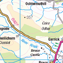
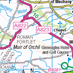
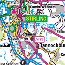
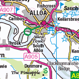
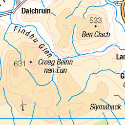
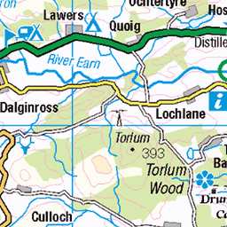
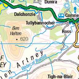
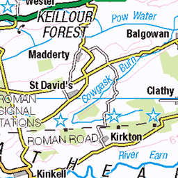
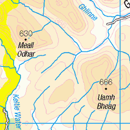
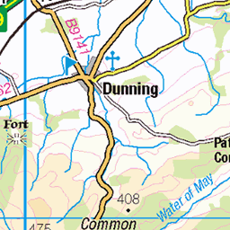
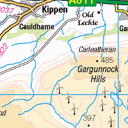
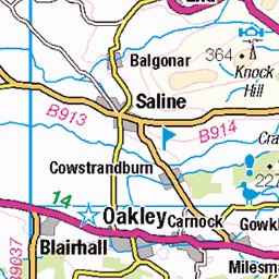
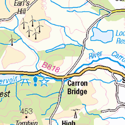
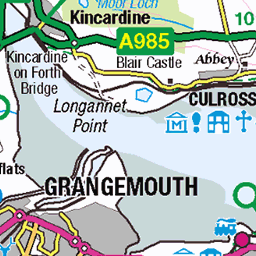
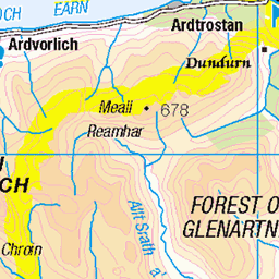
OS Map of Blairdenon Hill
Height: 632m / 2073ft • Prominence: 95m / 312ft • Summit : vegetated rock • Trip reports (hill-bagging)


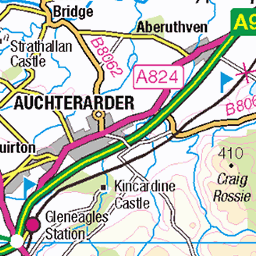
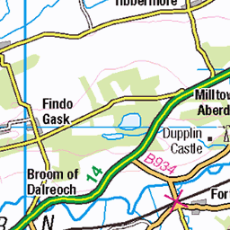
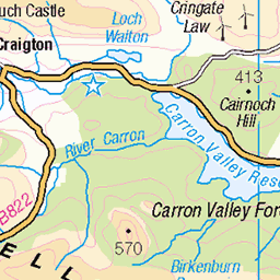
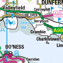
OS Map
This is OS mapping. In some areas, OpenStreetMap shows more footpaths
Spatial NI has online OSNI mapping. Click "Basemap Gallery" (4 squares icon at the top).
Now would be a good time for a cup of tea.
GPX Editor
Record map clicks
Reload map
Photos
Please tag your photos and upload them to the British and Irish Mountains group on Flickr
The other photos have been geo-tagged as on or around the summit. For less busy mountains, it can be a little hit and miss.


1650 Greabhal
Parked at the Seallum Centre then climbed steeply up to ridge then along to larger westerly cairn with Jim Bloomer and Mat Webster, GR8 views. Name:Greabhal Hill number:1605 Height:280m / 919ft RHB Section:24B: Harris and Nearby Islands County/UA:Na h-Eileanan Siar [Western Isles] (UA) Island:Lewis and Harris Maritime area:Sound of Harris & Loch Maddy Class:Marilyn, Hump, Tump (200-299m), Yeaman Grid ref:NG 00386 89161 Summit feature:ground 2m NE of cairn Drop:194m Col:86m NG002907 Observations:ground by pile of stones 20m E at NG 00404 89164 is of equal height Survey:Abney level
10-Jun-11 • Dugswell2 • flickr
greabhal p194 marilyn hump tump yeaman 50332754718


Videos
MTB ADVENTURE, HISTORY AND BANTER. Stage 2. For the FIRST TIME EVER, Big Stoozer Adventures teams up with Donny ...
Glen Quey - Seamab Hill Loop. Drone MTB Follow. Ochil Hills mountain biking. Glendevon MTB. Drone Tracking MTB.
ADVENTURE, HISTORY AND BANTER. This is a 'Promo' video short for Stage 2 of Big Stoozer Adventures & Mad About ...
ADVENTURE, HISTORY AND BANTER. For the FIRST TIME EVER, Big Stoozer Adventures teams up with Donny from the ...
A great day hillwalking in The Ochil Hills , a few miles from Stirling in central Scotland 19th November 2020.
Notes
- Data: Database of British and Irish Hills v18.2
- Maps: We use OS mapping for England, Scotland, Wales, and the Isle of Man. Sadly, Channel Islands, Northern (OSNI) and Southern Ireland (OSI) mapping isn't available online, so we use Openstreetmap.