Hills of Britain and Ireland
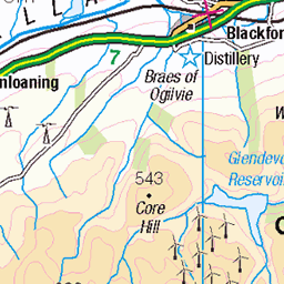
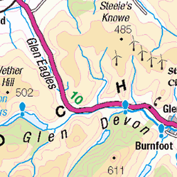
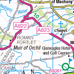
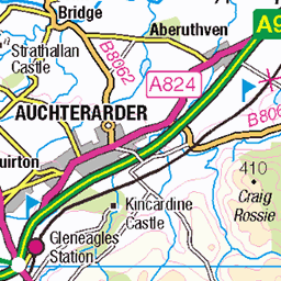
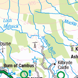
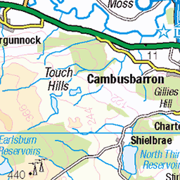
OS Map of Ben Cleuch
Height: 721m / 2365ft • Prominence: 595m / 1952ft • Summit : trig point in windshelter • Trip reports (hill-bagging)

P1149352
Frozen pool beneath Ben Ever in the Ochil Hills
10-Feb-25 • Knee Bother • flickr
54322748458


Check Point for the Ochil 2000s race on the summit of Ben Ever
24-Aug-24 • Nick Bramhall • flickr
53945174907

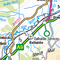
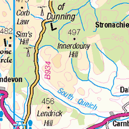
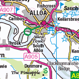
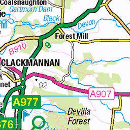
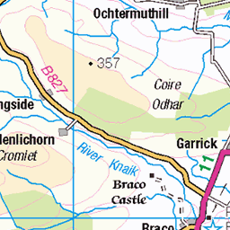
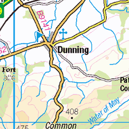
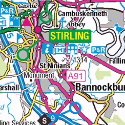
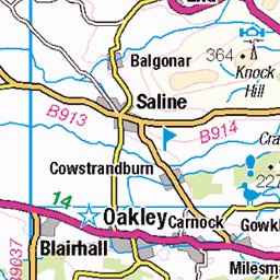
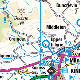
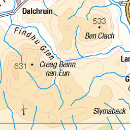
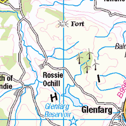
OS Map
This is OS mapping. In some areas, OpenStreetMap shows more footpaths
Spatial NI has online OSNI mapping. Click "Basemap Gallery" (4 squares icon at the top).
Now would be a good time for a cup of tea.
GPX Editor
Record map clicks
Reload map
Photos
Please tag your photos and upload them to the British and Irish Mountains group on Flickr
The other photos have been geo-tagged as on or around the summit. For less busy mountains, it can be a little hit and miss.
P1149352
Frozen pool beneath Ben Ever in the Ochil Hills
10-Feb-25 • Knee Bother • flickr
54322748458
Check Point for the Ochil 2000s race on the summit of Ben Ever
24-Aug-24 • Nick Bramhall • flickr
53945174907


Videos
A Spring walk to the highest summit in the Ochils, Ben Cleuch. A circular route from Tillicoultry via Mill Glen, The Law and back ...
Staying closer to home Alistair and Douglas returned to the Ochils, taking in the highest point in Clackmannanshire, Ben Cleuch.
From Glen Eagles we MTBed up Glen Devon past the Lower Reservoir and took a left past the upper Reservoir, to Burnfoot Hill ...
A walk round the Ben Cleuch loop. Lovely ravine with bridges crossing the gorge followed by the full circular walk on a well ...
A great day hillwalking in The Ochil Hills , a few miles from Stirling in central Scotland 19th November 2020.
Notes
- Data: Database of British and Irish Hills v18.2
- Maps: We use OS mapping for England, Scotland, Wales, and the Isle of Man. Sadly, Channel Islands, Northern (OSNI) and Southern Ireland (OSI) mapping isn't available online, so we use Openstreetmap.