Hills of Britain and Ireland
OS Map of Carnan


The deserted houses of Mingulay village
Slowly being covered by sand since the island was abandoned in 1912.
09-Aug-17 • We travel the Spaceways • flickr
36298275460
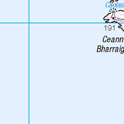
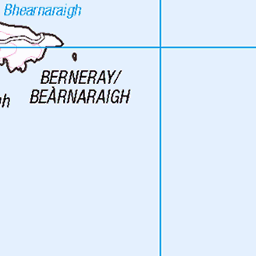
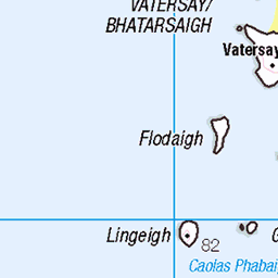
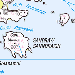
OS Map
This is OS mapping. In some areas, OpenStreetMap shows more footpaths
Spatial NI has online OSNI mapping. Click "Basemap Gallery" (4 squares icon at the top).
Now would be a good time for a cup of tea.


GPX Editor
Record map clicks
Reload map
Photos
Please tag your photos and upload them to the British and Irish Mountains group on Flickr
The other photos have been geo-tagged as on or around the summit. For less busy mountains, it can be a little hit and miss.
The deserted houses of Mingulay village
Slowly being covered by sand since the island was abandoned in 1912.
09-Aug-17 • We travel the Spaceways • flickr
36298275460


Mingulay Beach
Mingulay is a small island, south of Barra and Vatersay, uninhabited since 1912. This is the only beach on the island, which also boasts some of the highest cliffs in the UK, 699 feet, on it's western side.
02-Jul-15 • Lambert Heenan • flickr
scotland 46022983224

Mingulay Beach
Mingulay is a small island, south of Barra and Vatersay, uninhabited since 1912. This is the only beach on the island, which also boasts some of the highest cliffs in the UK, 699 feet, on it's western side.
02-Jul-15 • Lambert Heenan • flickr
scotland 2015 37207745756

1629 Càrnan
Second new island Marilyn on a calm damp day via the Boy James boat. Landed on wet rocks to the east then walked up the TuMP called Heacla before Càrnan. Name:Càrnan Hill number:1629 Height:273m / 896ft Area:24D: Barra to Barra Head Class:Ma,2 Grid ref: NL 55300 82791 Summit feature:trig point Drop:273m Col:Sea
04-May-14 • Dugswell2 • flickr
marilyn p273 càrnan mingulaymiùghlaigh 14203767051

Mingulay - wildlife, Tormentil
Potentilla erecta
hebrides mingulay scotland potentillaerecta flowering tormentil 49734523633
Videos
At the southern tip of the island chain of the Outer Hebrides sits the Isle of Mingulay – abandoned by its last inhabitants 100 year ...
Notes
- Data: Database of British and Irish Hills v18.2
- Maps: We use OS mapping for England, Scotland, Wales, and the Isle of Man. Sadly, Channel Islands, Northern (OSNI) and Southern Ireland (OSI) mapping isn't available online, so we use Openstreetmap.