Hills of Britain and Ireland
OS Map of Taran Mor

1604 Taran Mòr
Martin Richardson's 2000th HuMP with Alan Holmes, George Morl, Iain Brown, Jim Bloomer and Michael Earnshaw on a mixed weather day but what a wonderful summit. Leosaval, Ceartaval, Sgianait and finallyTaran Mor, just under22 Km and 1588 metres of ascent for 3 subMarilyns and a subHuMP.
18-Sep-13 • Dugswell2 • flickr
hump trigpoint isleofharris p146 submarilyn taranmòr 10265520684
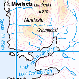
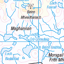
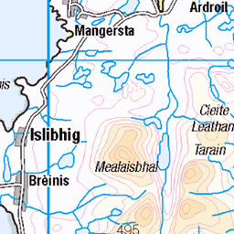
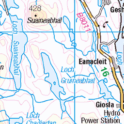
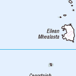
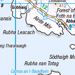
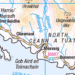
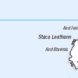
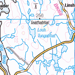
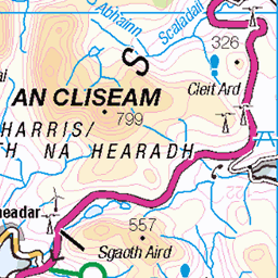
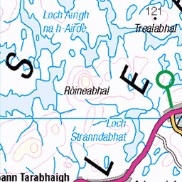
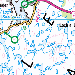
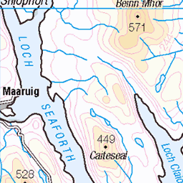
OS Map
This is OS mapping. In some areas, OpenStreetMap shows more footpaths
Spatial NI has online OSNI mapping. Click "Basemap Gallery" (4 squares icon at the top).
Now would be a good time for a cup of tea.


GPX Editor
Record map clicks
Reload map
Photos
Please tag your photos and upload them to the British and Irish Mountains group on Flickr
The other photos have been geo-tagged as on or around the summit. For less busy mountains, it can be a little hit and miss.
1604 Taran Mòr
Martin Richardson's 2000th HuMP with Alan Holmes, George Morl, Iain Brown, Jim Bloomer and Michael Earnshaw on a mixed weather day but what a wonderful summit. Leosaval, Ceartaval, Sgianait and finallyTaran Mor, just under22 Km and 1588 metres of ascent for 3 subMarilyns and a subHuMP.
18-Sep-13 • Dugswell2 • flickr
hump trigpoint isleofharris p146 submarilyn taranmòr 10265520684
Videos
None found
Notes
- Data: Database of British and Irish Hills v18.2
- Maps: We use OS mapping for England, Scotland, Wales, and the Isle of Man. Sadly, Channel Islands, Northern (OSNI) and Southern Ireland (OSI) mapping isn't available online, so we use Openstreetmap.