Hills of Britain and Ireland
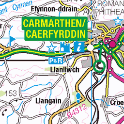
OS Map of Burry Holms
Height: 30m / 98ft • Prominence: 30m / 98ft • Summit : no feature: grass • Trip reports (hill-bagging)


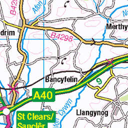
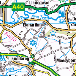
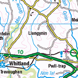
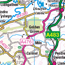
OS Map
This is OS mapping. In some areas, OpenStreetMap shows more footpaths
Spatial NI has online OSNI mapping. Click "Basemap Gallery" (4 squares icon at the top).
Now would be a good time for a cup of tea.


GPX Editor
Record map clicks
Reload map
Photos
Please tag your photos and upload them to the British and Irish Mountains group on Flickr
The other photos have been geo-tagged as on or around the summit. For less busy mountains, it can be a little hit and miss.


Red Catchfly flowers on Burry Holms Island 2024 06 09 #1
09-Jun-24 • Gareth Lovering Photography • flickr
rhossilibay broughtonbay burryholms swanseabay cardiganbay walkinginwales gowercoast wales walescostalpath beach anob aonb beautiful 1 nationaltrust nationaltrustwales garethloveringphotography olympusomdem10iii olympus12200mm 2024 summer june 53784922873

Thrift flowers on Burry Holms Island 2024 06 09 #7
09-Jun-24 • Gareth Lovering Photography • flickr
rhossilibay broughtonbay burryholms swanseabay cardiganbay walkinginwales gowercoast wales walescostalpath beach anob aonb beautiful 1 nationaltrust nationaltrustwales garethloveringphotography olympusomdem10iii olympus12200mm 2024 summer june 53784710981

15919 Burry Holms
View towardsthe tidal island of Burry Holms.
01-Jul-15 • Dugswell2 • flickr
sib p30 tump tidalisland burryholme 23349965299

15919 Burry Holms a
Parked at the end of Burrows Lane before the entrance to the caravan park, then walked down the track towards the beach with Colin Crawford. The flora on the dunes was stunning. Easy crossing on mainly sand to Burry Holms for our second tidal island of the morning. Name: Burry Holms Hill number: 15919 Height:30m / 98ft Parent (Ma/M): none Section: 32B: Carmarthen to Vale of Neath County/UA: Swansea (UA) Island:Mono Tump island Maritime Area:South Wales - Carmarthen Bay Class:Tump (0-99m), SIB Grid ref: SS 39864 92606 Summit feature:no feature: grass Drop: 30m Col: Sea
01-Jul-15 • Dugswell2 • flickr
sib p30 tump tidalisland burryholme 23635401441
Videos
Zwiedzajcie z nami kolejne miejsca półwyspu Gower. Jest to inspirujące miejsce wzgórz, dolin, plaż, klifów, wydm i cudownych ...
BURRY HOLMES (Gower) - An iconic spot on the WCP @walescoastpath Looking back towards the famous WORMS HEAD ...
Wales Coast Path Day 13 12 miles, 8 hours!! Seals, wild ponies, paragliders, Rhossili Bay, Burry Holmes, Worm's Head, The ...
Flying over Burry Port and Whiteford Lighthouses and RNLI Station, Carmarthenshire, Wales, filmed with a DJI Mavic 3 drone on a ...
Notes
- Data: Database of British and Irish Hills v18.2
- Maps: We use OS mapping for England, Scotland, Wales, and the Isle of Man. Sadly, Channel Islands, Northern (OSNI) and Southern Ireland (OSI) mapping isn't available online, so we use Openstreetmap.