Hills of Britain and Ireland
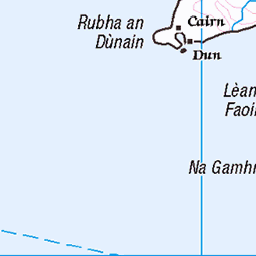
OS Map of Eilean Shiophoirt (Seaforth Island)
Height: 217m / 712ft • Prominence: 217m / 712ft • Summit : embedded rock adjacent to cairn • Trip reports (hill-bagging)

Sidhean an Airgid,‘Cailleach na mòintich’. ( Anglicised to Sleeping Beauty).
15-Mar-25 • Bays of Harris • flickr
54388210951


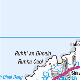
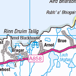
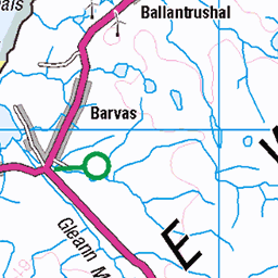
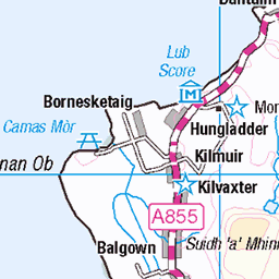
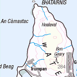
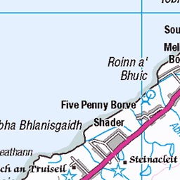
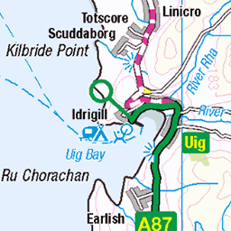
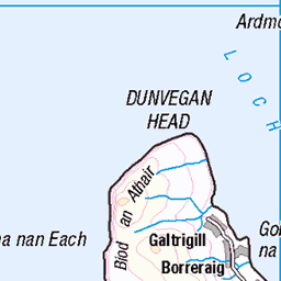
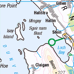
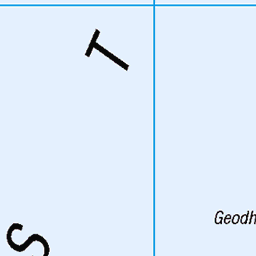
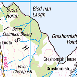
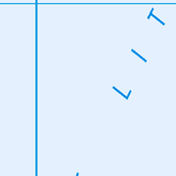
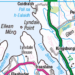
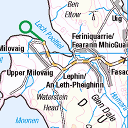
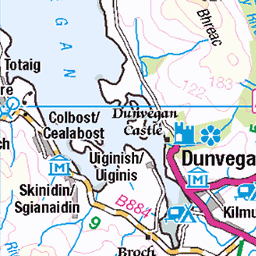
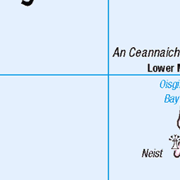
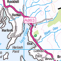
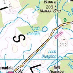
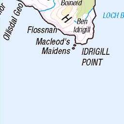
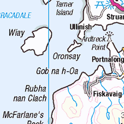
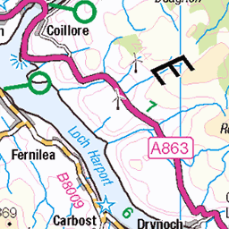
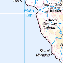
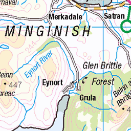
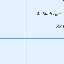
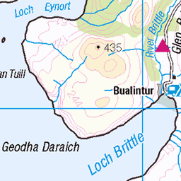
OS Map
This is OS mapping. In some areas, OpenStreetMap shows more footpaths
Spatial NI has online OSNI mapping. Click "Basemap Gallery" (4 squares icon at the top).
Now would be a good time for a cup of tea.


GPX Editor
Record map clicks
Reload map
Photos
Please tag your photos and upload them to the British and Irish Mountains group on Flickr
The other photos have been geo-tagged as on or around the summit. For less busy mountains, it can be a little hit and miss.
Sidhean an Airgid,‘Cailleach na mòintich’. ( Anglicised to Sleeping Beauty).
15-Mar-25 • Bays of Harris • flickr
54388210951


IMG_1577
Rock Solid trip to Scaladale 2017
07-Apr-17 • Cross Ness Church of Scotland • flickr
33861212471
![1582 Eilean Shiophoirt [Seaforth Island] [Eilean Shiphoirt] a](https://live.staticflickr.com/65535/50323924956_93d81cdb93.jpg)
1582 Eilean Shiophoirt [Seaforth Island] [Eilean Shiphoirt] a
06-Jun-11 • Dugswell2 • flickr
eileanshiophoirtseaforthislandeileanshiphoirt p217 marilyn hump tump sib yeaman 50323924956
Videos
None found
Notes
- Data: Database of British and Irish Hills v18.2
- Maps: We use OS mapping for England, Scotland, Wales, and the Isle of Man. Sadly, Channel Islands, Northern (OSNI) and Southern Ireland (OSI) mapping isn't available online, so we use Openstreetmap.