Hills of Britain and Ireland
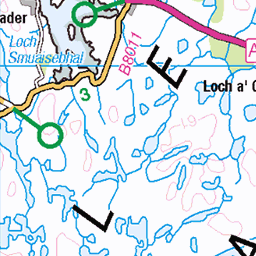
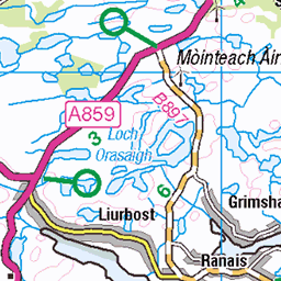
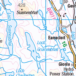
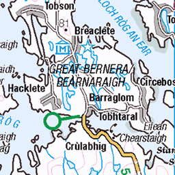
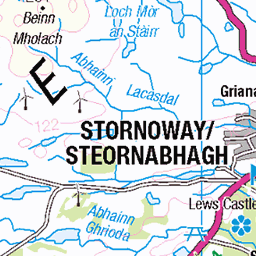
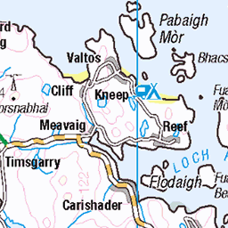
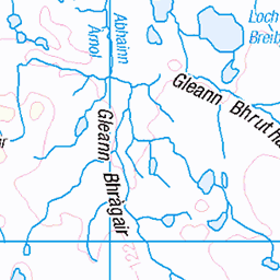
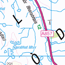
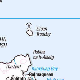
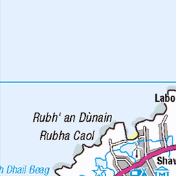
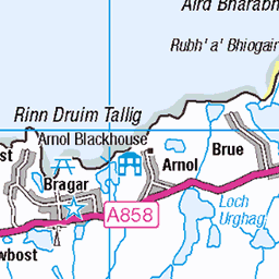
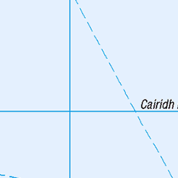
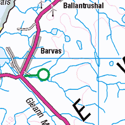
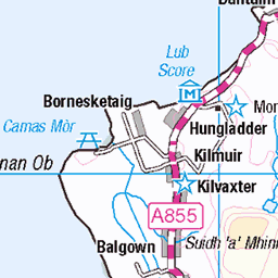
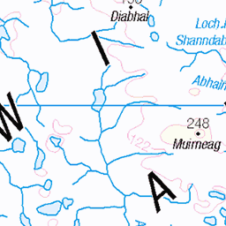
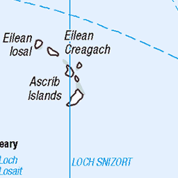
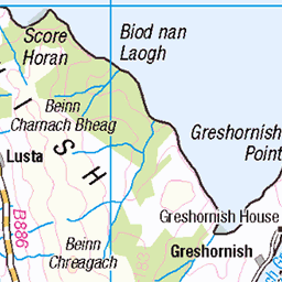
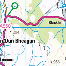
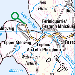
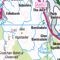
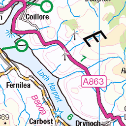
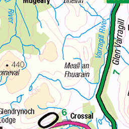
OS Map of Beinn Mhor
Height: 572m / 1877ft • Prominence: 558m / 1831ft • Summit : large cairn • Trip reports (hill-bagging)

1560 Beinn Mhòr
Parked at the bridge before using the track to the south of the loch to the sheep folds. Then up SSW to the first cairn then onto Mor Mhonadh then Guineamol before the second Marilyn Muitheabhal and then the third Marilyn Beinn Mhor before returning on a lower route to the start. Name:Beinn Mhor Hill number:1560 Height:572m / 1877ft Section:24A: Lewis and Nearby Islands County/UA:Na h-Eileanan Siar [Western Isles] (UA) Island:Lewis and Harris Class:Marilyn, HuMP, Highland Five Grid ref: NB 25439 09529 Summit feature:large cairn Drop:555m Col:17m NB311181
24-Sep-14 • Dugswell2 • flickr
marilyn isleoflewis p555 beinnmhòr 15341178188

1560 Beinn Mhòr a
Parked at the bridge before using the track to the south of the loch to the sheep folds. Then up SSW to the first cairn then onto Mor Mhonadh then Guineamol before the second Marilyn Muitheabhal and then the third Marilyn Beinn Mhor before returning on a lower route to the start. Name:Beinn Mhor Hill number:1560 Height:572m / 1877ft Section:24A: Lewis and Nearby Islands County/UA:Na h-Eileanan Siar [Western Isles] (UA) Island:Lewis and Harris Class:Marilyn, HuMP, Highland Five Grid ref: NB 25439 09529 Summit feature:large cairn Drop:555m Col:17m NB311181
24-Sep-14 • Dugswell2 • flickr
marilyn isleoflewis p555 beinnmhòr 15341305277

1560 Beinn Mhòr b
Parked at the bridge before using the track to the south of the loch to the sheep folds. Then up SSW to the first cairn then onto Mor Mhonadh then Guineamol before the second Marilyn Muitheabhal and then the third Marilyn Beinn Mhor before returning on a lower route to the start. Name:Beinn Mhor Hill number:1560 Height:572m / 1877ft Section:24A: Lewis and Nearby Islands County/UA:Na h-Eileanan Siar [Western Isles] (UA) Island:Lewis and Harris Class:Marilyn, HuMP, Highland Five Grid ref: NB 25439 09529 Summit feature:large cairn Drop:555m Col:17m NB311181
24-Sep-14 • Dugswell2 • flickr
marilyn isleoflewis p555 beinnmhòr 15504754716

1560 Beinn Mhòr c
Parked at the bridge before using the track to the south of the loch to the sheep folds. Then up SSW to the first cairn then onto Mor Mhonadh then Guineamol before the second Marilyn Muitheabhal and then the third Marilyn Beinn Mhor before returning on a lower route to the start. Name:Beinn Mhor Hill number:1560 Height:572m / 1877ft Section:24A: Lewis and Nearby Islands County/UA:Na h-Eileanan Siar [Western Isles] (UA) Island:Lewis and Harris Class:Marilyn, HuMP, Highland Five Grid ref: NB 25439 09529 Summit feature:large cairn Drop:555m Col:17m NB311181
24-Sep-14 • Dugswell2 • flickr
marilyn isleoflewis p555 beinnmhòr 15527923895
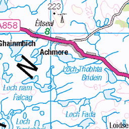
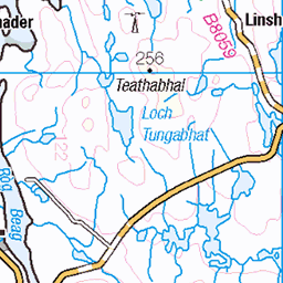
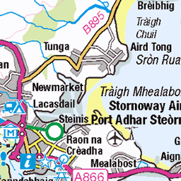
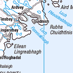
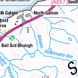
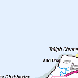
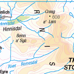
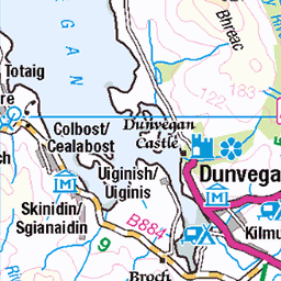
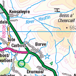
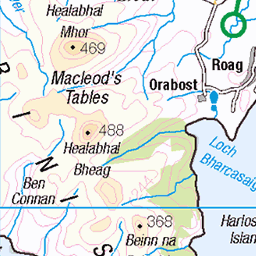
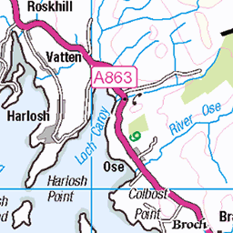
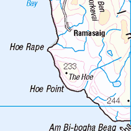
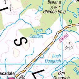
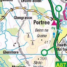
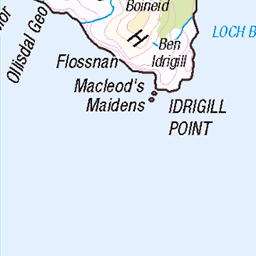
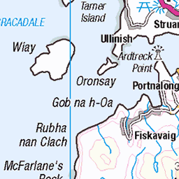
OS Map
This is OS mapping. In some areas, OpenStreetMap shows more footpaths
Spatial NI has online OSNI mapping. Click "Basemap Gallery" (4 squares icon at the top).
Now would be a good time for a cup of tea.


GPX Editor
Record map clicks
Reload map
Photos
Please tag your photos and upload them to the British and Irish Mountains group on Flickr
The other photos have been geo-tagged as on or around the summit. For less busy mountains, it can be a little hit and miss.
1560 Beinn Mhòr
Parked at the bridge before using the track to the south of the loch to the sheep folds. Then up SSW to the first cairn then onto Mor Mhonadh then Guineamol before the second Marilyn Muitheabhal and then the third Marilyn Beinn Mhor before returning on a lower route to the start. Name:Beinn Mhor Hill number:1560 Height:572m / 1877ft Section:24A: Lewis and Nearby Islands County/UA:Na h-Eileanan Siar [Western Isles] (UA) Island:Lewis and Harris Class:Marilyn, HuMP, Highland Five Grid ref: NB 25439 09529 Summit feature:large cairn Drop:555m Col:17m NB311181
24-Sep-14 • Dugswell2 • flickr
marilyn isleoflewis p555 beinnmhòr 15341178188
1560 Beinn Mhòr a
Parked at the bridge before using the track to the south of the loch to the sheep folds. Then up SSW to the first cairn then onto Mor Mhonadh then Guineamol before the second Marilyn Muitheabhal and then the third Marilyn Beinn Mhor before returning on a lower route to the start. Name:Beinn Mhor Hill number:1560 Height:572m / 1877ft Section:24A: Lewis and Nearby Islands County/UA:Na h-Eileanan Siar [Western Isles] (UA) Island:Lewis and Harris Class:Marilyn, HuMP, Highland Five Grid ref: NB 25439 09529 Summit feature:large cairn Drop:555m Col:17m NB311181
24-Sep-14 • Dugswell2 • flickr
marilyn isleoflewis p555 beinnmhòr 15341305277
1560 Beinn Mhòr b
Parked at the bridge before using the track to the south of the loch to the sheep folds. Then up SSW to the first cairn then onto Mor Mhonadh then Guineamol before the second Marilyn Muitheabhal and then the third Marilyn Beinn Mhor before returning on a lower route to the start. Name:Beinn Mhor Hill number:1560 Height:572m / 1877ft Section:24A: Lewis and Nearby Islands County/UA:Na h-Eileanan Siar [Western Isles] (UA) Island:Lewis and Harris Class:Marilyn, HuMP, Highland Five Grid ref: NB 25439 09529 Summit feature:large cairn Drop:555m Col:17m NB311181
24-Sep-14 • Dugswell2 • flickr
marilyn isleoflewis p555 beinnmhòr 15504754716
1560 Beinn Mhòr c
Parked at the bridge before using the track to the south of the loch to the sheep folds. Then up SSW to the first cairn then onto Mor Mhonadh then Guineamol before the second Marilyn Muitheabhal and then the third Marilyn Beinn Mhor before returning on a lower route to the start. Name:Beinn Mhor Hill number:1560 Height:572m / 1877ft Section:24A: Lewis and Nearby Islands County/UA:Na h-Eileanan Siar [Western Isles] (UA) Island:Lewis and Harris Class:Marilyn, HuMP, Highland Five Grid ref: NB 25439 09529 Summit feature:large cairn Drop:555m Col:17m NB311181
24-Sep-14 • Dugswell2 • flickr
marilyn isleoflewis p555 beinnmhòr 15527923895
Videos
None found
Notes
- Data: Database of British and Irish Hills v18.2
- Maps: We use OS mapping for England, Scotland, Wales, and the Isle of Man. Sadly, Channel Islands, Northern (OSNI) and Southern Ireland (OSI) mapping isn't available online, so we use Openstreetmap.