Hills of Britain and Ireland
OS Map of Midland Isle
Height: 50m / 164ft • Prominence: 50m / 164ft • Trip reports (hill-bagging)

Rock formations
09-Sep-24 • Photo Crazy Rob • flickr
coast pembrokeshire thedeerpark haverfordwest wales unitedkingdom 53996528274

Shooting into the sun
09-Sep-24 • Photo Crazy Rob • flickr
coast pembrokeshire thedeerpark haverfordwest wales unitedkingdom 53996451878


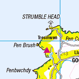
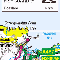
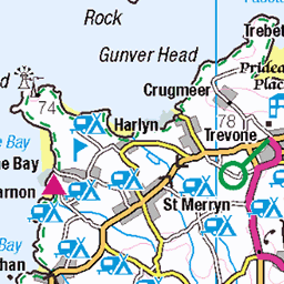
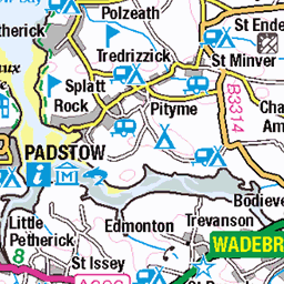
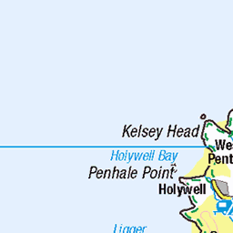
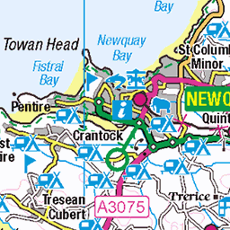
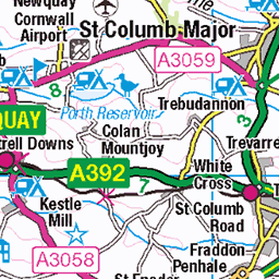
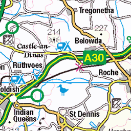
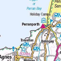
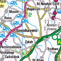
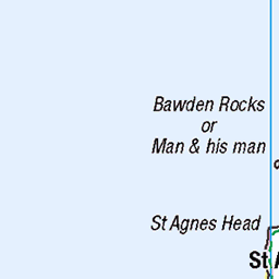
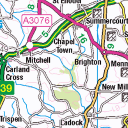
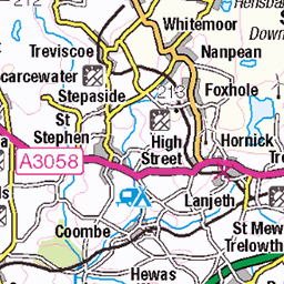
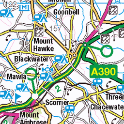
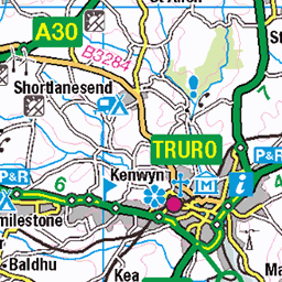
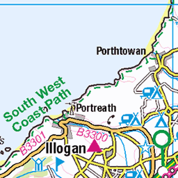
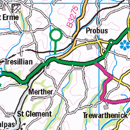
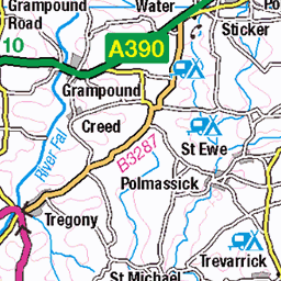
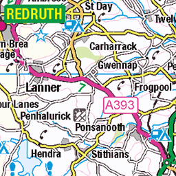
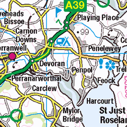
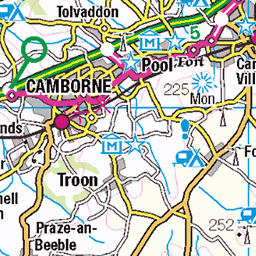
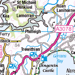
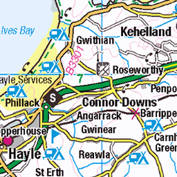
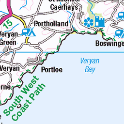
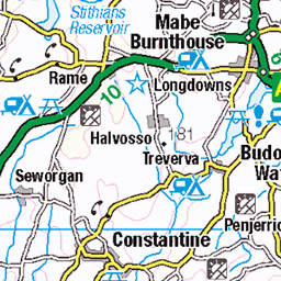
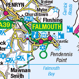
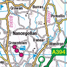
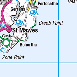
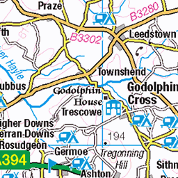
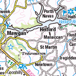
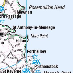
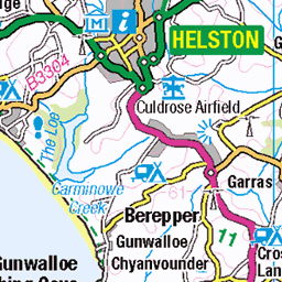
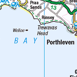
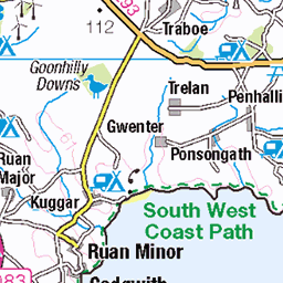
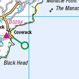
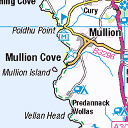
OS Map
This is OS mapping. In some areas, OpenStreetMap shows more footpaths
Spatial NI has online OSNI mapping. Click "Basemap Gallery" (4 squares icon at the top).
Now would be a good time for a cup of tea.


GPX Editor
Record map clicks
Reload map
Photos
Please tag your photos and upload them to the British and Irish Mountains group on Flickr
The other photos have been geo-tagged as on or around the summit. For less busy mountains, it can be a little hit and miss.
Rock formations
09-Sep-24 • Photo Crazy Rob • flickr
coast pembrokeshire thedeerpark haverfordwest wales unitedkingdom 53996528274
Shooting into the sun
09-Sep-24 • Photo Crazy Rob • flickr
coast pembrokeshire thedeerpark haverfordwest wales unitedkingdom 53996451878


2008_DSF7477
16-Aug-20 • ChrisJD-UK • flickr
flickrpublic haverfordwest wales unitedkingdom 54281493306

2008_DSF7489-Pano
16-Aug-20 • ChrisJD-UK • flickr
flickrpublic haverfordwest wales unitedkingdom 54280614102

2008_DSF7494
16-Aug-20 • ChrisJD-UK • flickr
flickrpublic haverfordwest wales unitedkingdom 54281925745

2008_DSF7495-Pano
16-Aug-20 • ChrisJD-UK • flickr
flickrpublic haverfordwest wales unitedkingdom 54281926230
Videos
One advantage of taking so many photos - you can create ropey stop motion films!
Flying over a sudden drop, and capturing the rough seas. This is my first drone video and first time flying my new drone, any ...
This video was taken on my free walking route Marloes Sands-Martins Haven-Marloes Circular, which was recorded and ...
Notes
- Data: Database of British and Irish Hills v18.2
- Maps: We use OS mapping for England, Scotland, Wales, and the Isle of Man. Sadly, Channel Islands, Northern (OSNI) and Southern Ireland (OSI) mapping isn't available online, so we use Openstreetmap.