Hills of Britain and Ireland
OS Map of Hill of Fare
Height: 471m / 1545ft • Prominence: 217m / 712ft • Summit : cairn on rock • Trip reports (hill-bagging)

Twilight
Our tea spot, hiding amongst the pine trees as the sky goes dark. It was very windy tonight.
04-Feb-24 • We travel the Spaceways • flickr
53615034784


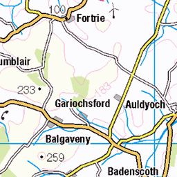
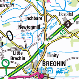
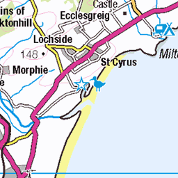
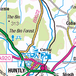
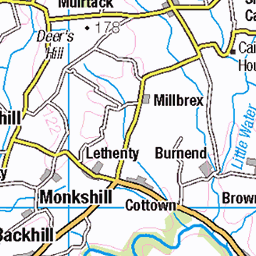
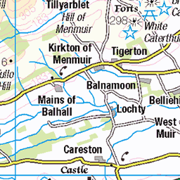
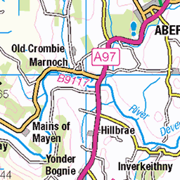
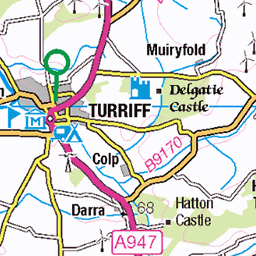
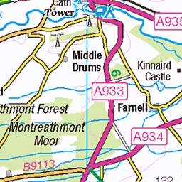
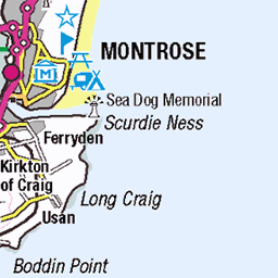
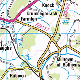
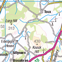
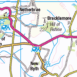
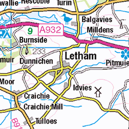
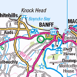
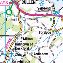
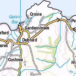
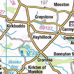
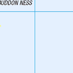
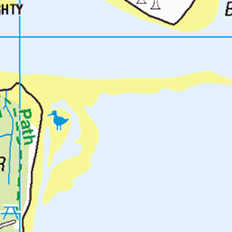
OS Map
This is OS mapping. In some areas, OpenStreetMap shows more footpaths
Spatial NI has online OSNI mapping. Click "Basemap Gallery" (4 squares icon at the top).
Now would be a good time for a cup of tea.


GPX Editor
Record map clicks
Reload map
Photos
Please tag your photos and upload them to the British and Irish Mountains group on Flickr
The other photos have been geo-tagged as on or around the summit. For less busy mountains, it can be a little hit and miss.
Twilight
Our tea spot, hiding amongst the pine trees as the sky goes dark. It was very windy tonight.
04-Feb-24 • We travel the Spaceways • flickr
53615034784

Hill of Fare
Finding the cairn was a little trickier in the dark. Jupiter and Venus behind.
13-Feb-23 • We travel the Spaceways • flickr
52687741499

Tornamean trigpoint
We had tea at the trig. Windy and cold but we found a sheltered spot behind the wall. No moon so the stars were really good tonight.
13-Feb-23 • We travel the Spaceways • flickr
52687741219

Evening on Hill of Fare
Looking across to Bennachie
25-Oct-21 • We travel the Spaceways • flickr
51628836296

Videos
Welcome to MTB Scotland RAW, your go-to destination for raw and unfiltered mountain biking content across the diverse trails of ...
Old shooting Lodge up the hill of Fare in Aberdeenshire, Scotland.
Quick hour at hill of fare at 8am.
We thought it was a great idea to go send a trail in the fresh snow.
Notes
- Data: Database of British and Irish Hills v18.2
- Maps: We use OS mapping for England, Scotland, Wales, and the Isle of Man. Sadly, Channel Islands, Northern (OSNI) and Southern Ireland (OSI) mapping isn't available online, so we use Openstreetmap.