Hills of Britain and Ireland
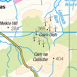
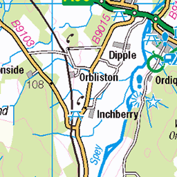
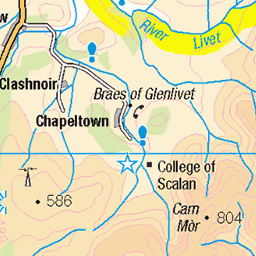
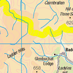
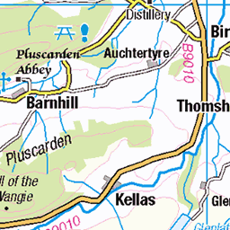
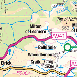
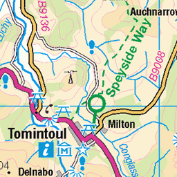
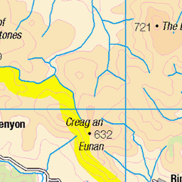
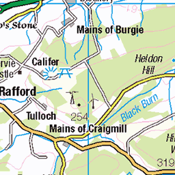
OS Map of Little Conval


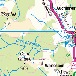
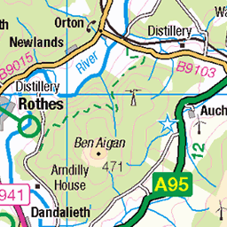
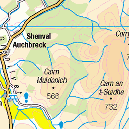
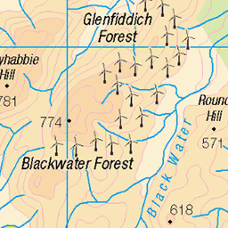
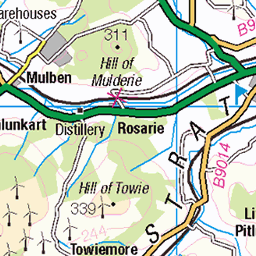
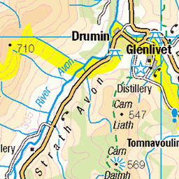
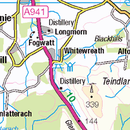
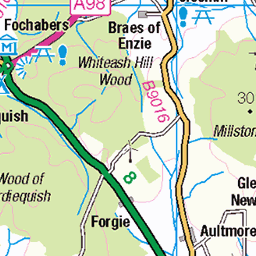
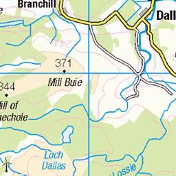
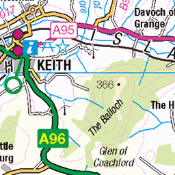
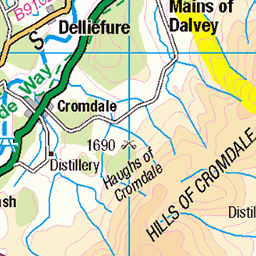
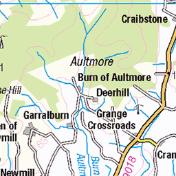
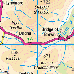
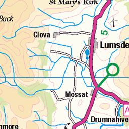
OS Map
This is OS mapping. In some areas, OpenStreetMap shows more footpaths
Spatial NI has online OSNI mapping. Click "Basemap Gallery" (4 squares icon at the top).
Now would be a good time for a cup of tea.

GPX Editor
Record map clicks
Reload map
Photos
Please tag your photos and upload them to the British and Irish Mountains group on Flickr
The other photos have been geo-tagged as on or around the summit. For less busy mountains, it can be a little hit and miss.


1502 Little Conval b
08-Jun-18 • Dugswell2 • flickr
littleconval p165 tump marilyn hump dodd highlandfive 42683025525

1502 Little Conval c
08-Jun-18 • Dugswell2 • flickr
littleconval p165 tump marilyn hump dodd highlandfive 41779594660

1502 Little Conval d
08-Jun-18 • Dugswell2 • flickr
littleconval p165 tump marilyn hump dodd highlandfive 43587883301

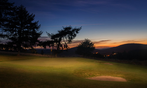
15th Green Windmills
club sunrise golf scotland windmills moray dufftown 18967251134
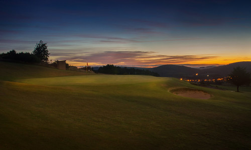
15th Green
green club sunrise golf scotland 15th moray dufftown 9935626865
Videos
Competitors in the Highland Fling Scottish Highland dance during the 2022 Dufftown Highland Games. These are held at ...
Glenfiddich & Balvenie destillery.
Notes
- Data: Database of British and Irish Hills v18.2
- Maps: We use OS mapping for England, Scotland, Wales, and the Isle of Man. Sadly, Channel Islands, Northern (OSNI) and Southern Ireland (OSI) mapping isn't available online, so we use Openstreetmap.