Hills of Britain and Ireland
OS Map of Mona Gowan
Height: 749m / 2457ft • Prominence: 194m / 636ft • Summit : huge cairn • Trip reports (hill-bagging)


Mona Gowan, the moon, Venus and me
Time to head down now. Well into twilight. It had been 14 during the day but the temperature soon dropped after sunset. It was -1 at the bottom. With the wind chill at the top of the hill, it was a lot colder than that. It felt it!
21-Apr-23 • We travel the Spaceways • flickr
52836476939


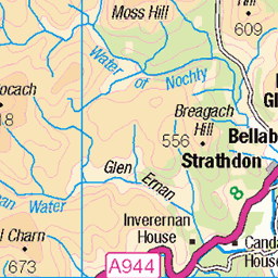
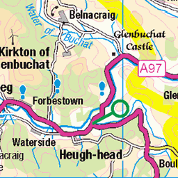
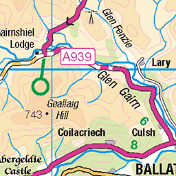
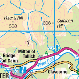
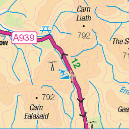
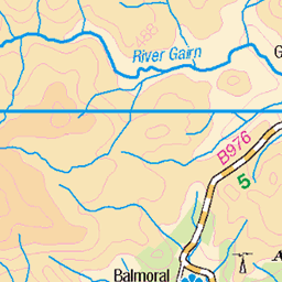
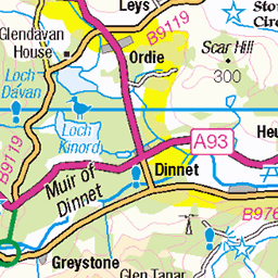
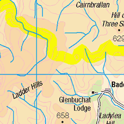
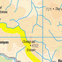
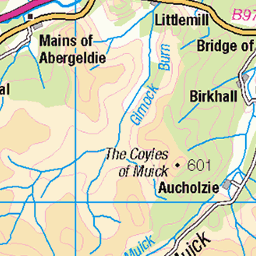
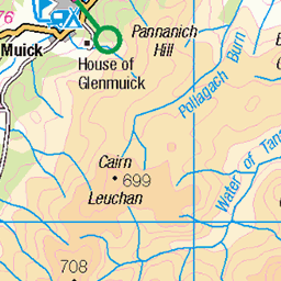
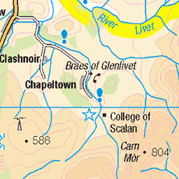
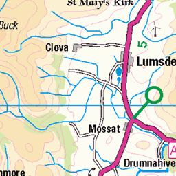
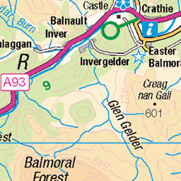
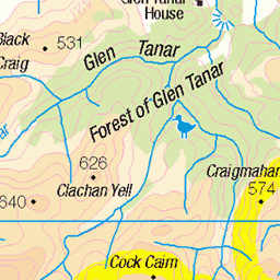
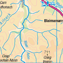
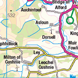
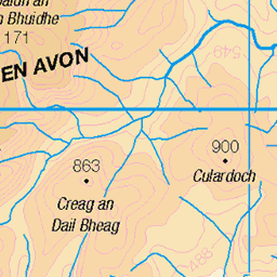
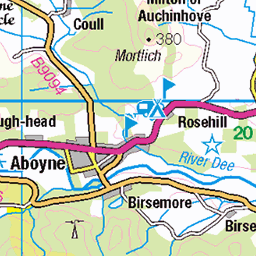
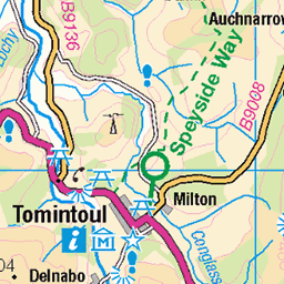
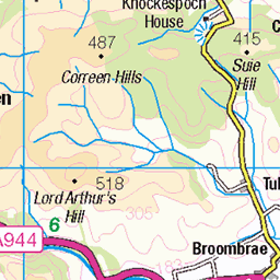
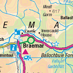
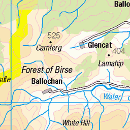
OS Map
This is OS mapping. In some areas, OpenStreetMap shows more footpaths
Spatial NI has online OSNI mapping. Click "Basemap Gallery" (4 squares icon at the top).
Now would be a good time for a cup of tea.

GPX Editor
Record map clicks
Reload map
Photos
Please tag your photos and upload them to the British and Irish Mountains group on Flickr
The other photos have been geo-tagged as on or around the summit. For less busy mountains, it can be a little hit and miss.
Mona Gowan, the moon, Venus and me
Time to head down now. Well into twilight. It had been 14 during the day but the temperature soon dropped after sunset. It was -1 at the bottom. With the wind chill at the top of the hill, it was a lot colder than that. It felt it!
21-Apr-23 • We travel the Spaceways • flickr
52836476939


Videos
Slight delay in video uploads, I'm now with a new pc and working through videos. I went to the Cairngorms in May for a week of ...
Notes
- Data: Database of British and Irish Hills v18.2
- Maps: We use OS mapping for England, Scotland, Wales, and the Isle of Man. Sadly, Channel Islands, Northern (OSNI) and Southern Ireland (OSI) mapping isn't available online, so we use Openstreetmap.