Hills of Britain and Ireland
OS Map of Cruach Scarba
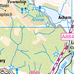
Height: 450m / 1476ft • Prominence: 450m / 1476ft • Summit : rock 2m NW of trig point • Trip reports (hill-bagging)


10512 - Cruach Scarba
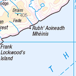
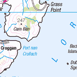
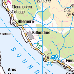
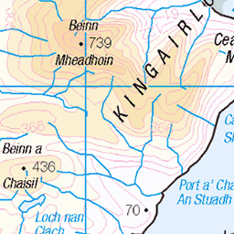
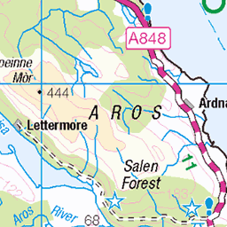
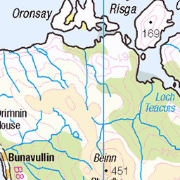
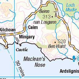
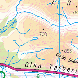
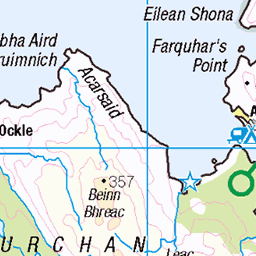
NM690044, LR55. HISTORY Pillar completed 1st June 1959 costing £17.11s.7d. Computed as tertiary triangulation station NM52/T49 within the Mull secondary block, and levelled to second class precision during 1960. This pillar station was last maintained by the Ordnance Survey in April 1979. SITE VISIT Boat trip from Craobh Haven. Overall approach from the pier at NM720060, on the northeast side of the island. Followed the mapped tracks to NM706056 then took a footpath (1:25K map) to NM703258, continuing up via a thinly worn route to the summit therafter. The Vanessa stands in a partial wind shelter. The Vanessa is in good condition. The spider retains its original OS centre cap with raised large narrow letters. The flush bracket faces SSE, compass measurement 150°. Vented through the NE sight hole. Full 360° panoramic view to surrounding islands and the mainland. The return boat trip included circumnavigating the island and an experience on the Corryvreckan Whirlpool. Photographed: 8th August 2017, GRP. ═════════════════════════ Interactive Index: www.google.com/maps/d/viewer?mid=1arx2Qmo5mVeVUJA2lzVG_uzbYPW59ffh&ll=56.195465298507365,-5.7072808278018305&z=11" rel="noreferrer nofollow Google My Maps Map: www.flickr.com/photos/13460108@N06/40847243015/in/album-72157692190778971/ Trig Pillars on OS Landranger 55 ═════════════════════════ Neighbouring Triangulation Pillars www.flickr.com/photos/13460108@N06/14867396356/in/set-72157631838876970/ 10233 - Ard Luing : 3.43 miles to the east. 10503 - Cruach Na Seilcheig : 3.99 miles to the south. www.flickr.com/photos/13460108@N06/43985216121/in/album-72157631838876970/ 10507 - Eileach An Naoimh : 4.63 miles to the northwest. 10383 - Druim Beithe : 5.45 miles to the southeast. www.flickr.com/photos/13460108@N06/8153848803/in/album-72157631838876970/ 10384 - Barrackan : 5.62 miles to the east. 10535 - Cnoc A Chuirn Mhoir : 6.26 miles to the south. www.flickr.com/photos/13460108@N06/14890042552/in/album-72157631831281682/ S9720 - Bardrishaig : 6.30 miles to the NNE. ═════════════════════════
08-Aug-17 • Graeme5015 • flickr
10512 scarba corryvrekan kinuachdrachd 25215822917
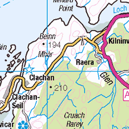
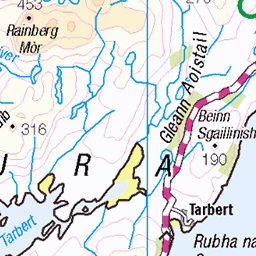
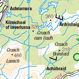
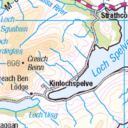
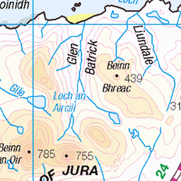
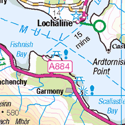
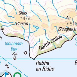
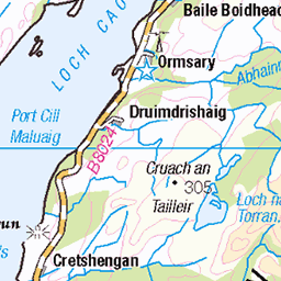
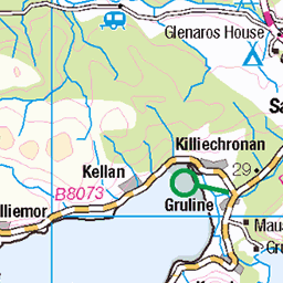
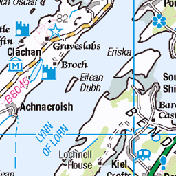
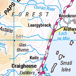
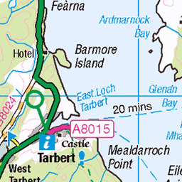
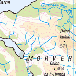
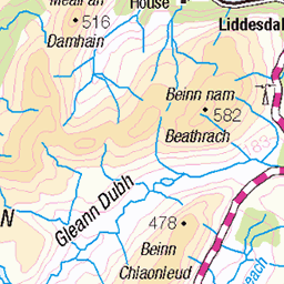
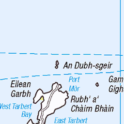
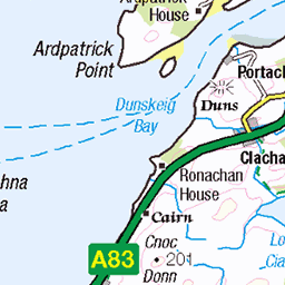
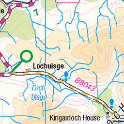
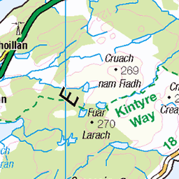
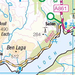
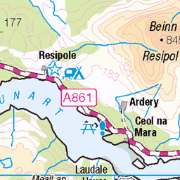
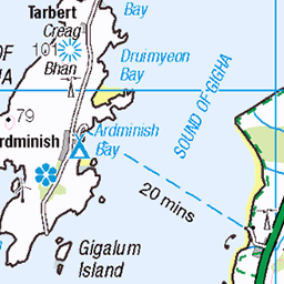
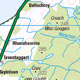
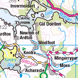
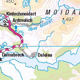
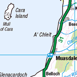
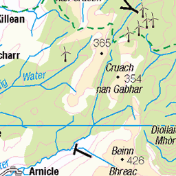
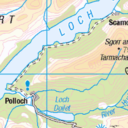
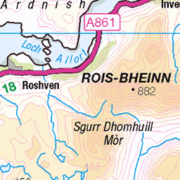
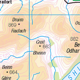
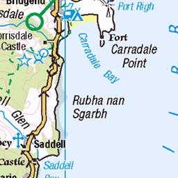
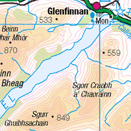
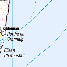
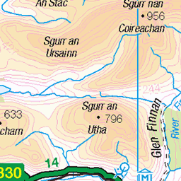
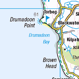
OS Map
This is OS mapping. In some areas, OpenStreetMap shows more footpaths
Spatial NI has online OSNI mapping. Click "Basemap Gallery" (4 squares icon at the top).
Now would be a good time for a cup of tea.


GPX Editor
Record map clicks
Reload map
Photos
Please tag your photos and upload them to the British and Irish Mountains group on Flickr
The other photos have been geo-tagged as on or around the summit. For less busy mountains, it can be a little hit and miss.
10512 - Cruach Scarba
NM690044, LR55. HISTORY Pillar completed 1st June 1959 costing £17.11s.7d. Computed as tertiary triangulation station NM52/T49 within the Mull secondary block, and levelled to second class precision during 1960. This pillar station was last maintained by the Ordnance Survey in April 1979. SITE VISIT Boat trip from Craobh Haven. Overall approach from the pier at NM720060, on the northeast side of the island. Followed the mapped tracks to NM706056 then took a footpath (1:25K map) to NM703258, continuing up via a thinly worn route to the summit therafter. The Vanessa stands in a partial wind shelter. The Vanessa is in good condition. The spider retains its original OS centre cap with raised large narrow letters. The flush bracket faces SSE, compass measurement 150°. Vented through the NE sight hole. Full 360° panoramic view to surrounding islands and the mainland. The return boat trip included circumnavigating the island and an experience on the Corryvreckan Whirlpool. Photographed: 8th August 2017, GRP. ═════════════════════════ Interactive Index: www.google.com/maps/d/viewer?mid=1arx2Qmo5mVeVUJA2lzVG_uzbYPW59ffh&ll=56.195465298507365,-5.7072808278018305&z=11" rel="noreferrer nofollow Google My Maps Map: www.flickr.com/photos/13460108@N06/40847243015/in/album-72157692190778971/ Trig Pillars on OS Landranger 55 ═════════════════════════ Neighbouring Triangulation Pillars www.flickr.com/photos/13460108@N06/14867396356/in/set-72157631838876970/ 10233 - Ard Luing : 3.43 miles to the east. 10503 - Cruach Na Seilcheig : 3.99 miles to the south. www.flickr.com/photos/13460108@N06/43985216121/in/album-72157631838876970/ 10507 - Eileach An Naoimh : 4.63 miles to the northwest. 10383 - Druim Beithe : 5.45 miles to the southeast. www.flickr.com/photos/13460108@N06/8153848803/in/album-72157631838876970/ 10384 - Barrackan : 5.62 miles to the east. 10535 - Cnoc A Chuirn Mhoir : 6.26 miles to the south. www.flickr.com/photos/13460108@N06/14890042552/in/album-72157631831281682/ S9720 - Bardrishaig : 6.30 miles to the NNE. ═════════════════════════
08-Aug-17 • Graeme5015 • flickr
10512 scarba corryvrekan kinuachdrachd 25215822917


1457 Cruach Scarba c
28-Apr-12 • Dugswell2 • flickr
trigpoint vanessatrig marilyn hump tump sib yeaman p449 cruachscarba 51412338091

1457 Cruach Scarba a
28-Apr-12 • Dugswell2 • flickr
marilyn hump tump sib yeaman p449 cruachscarba 51412336321

1457 Cruach Scarba
GR8 day cool and sunny via fast narrow RIB from Crinan with 17 on RHB trip organised by Alison Fox. Name:Cruach Scarba Hill number:1457 Height:449m / 1473ft RHB Section:20A: Jura, Scarba and Colonsay County/UA:Argyll and Bute (UA) Island:Scarba Maritime area:Scarba, Slate Islands & Firth of Lorn Class:Marilyn, Hump, Tump (400-499m), SIB, Yeaman Grid ref:NM 69071 04457 Summit feature:rock 2m NW of trig point Drop:449m Col:Sea Observations:rock 7m N of trig point at NM 69073 04460 is about as high
28-Apr-12 • Dugswell2 • flickr
trigpoint vanessatrig marilyn hump tump sib yeaman p449 cruachscarba 51412599628
Videos
None found
Notes
- Data: Database of British and Irish Hills v18.2
- Maps: We use OS mapping for England, Scotland, Wales, and the Isle of Man. Sadly, Channel Islands, Northern (OSNI) and Southern Ireland (OSI) mapping isn't available online, so we use Openstreetmap.