Hills of Britain and Ireland
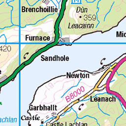
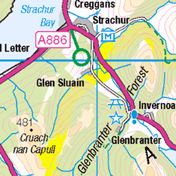
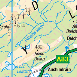
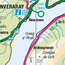
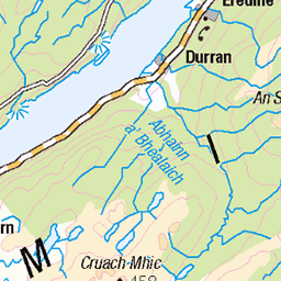
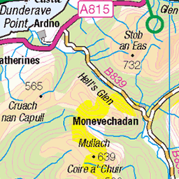
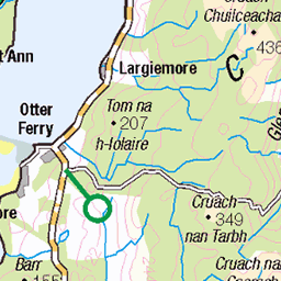
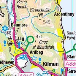
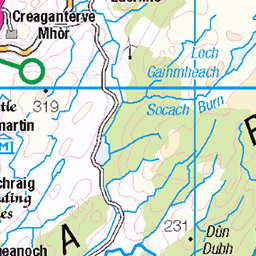
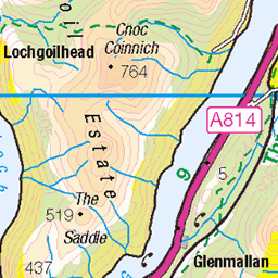
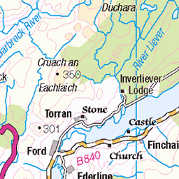
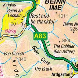
OS Map of Cruach an Lochain
Height: 508m / 1667ft • Prominence: 259m / 850ft • Summit : ground 1m SW of trig point • Trip reports (hill-bagging)

The Stairway
Found this gorgeous scene during a recent gorge walk in Glenbranter, Cowal, Argyll, Scotland.
31-May-15 • Images by Brian • flickr
water pool mono scotland waterfall rocks walk argyll stairway staircase gorge geology cowal westofscotland glenbranter 18353718569
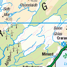
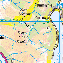
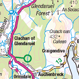
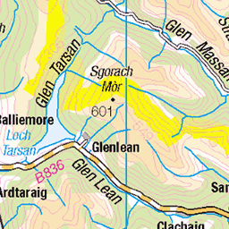
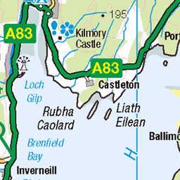
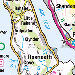
OS Map
This is OS mapping. In some areas, OpenStreetMap shows more footpaths
Spatial NI has online OSNI mapping. Click "Basemap Gallery" (4 squares icon at the top).
Now would be a good time for a cup of tea.
GPX Editor
Record map clicks
Reload map
Photos
Please tag your photos and upload them to the British and Irish Mountains group on Flickr
The other photos have been geo-tagged as on or around the summit. For less busy mountains, it can be a little hit and miss.
The Stairway
Found this gorgeous scene during a recent gorge walk in Glenbranter, Cowal, Argyll, Scotland.
31-May-15 • Images by Brian • flickr
water pool mono scotland waterfall rocks walk argyll stairway staircase gorge geology cowal westofscotland glenbranter 18353718569
Videos
None found
Notes
- Data: Database of British and Irish Hills v18.2
- Maps: We use OS mapping for England, Scotland, Wales, and the Isle of Man. Sadly, Channel Islands, Northern (OSNI) and Southern Ireland (OSI) mapping isn't available online, so we use Openstreetmap.