Hills of Britain and Ireland
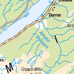
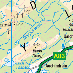
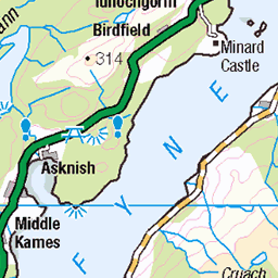
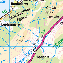
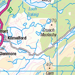
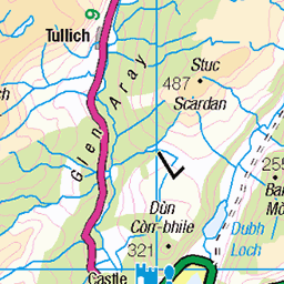
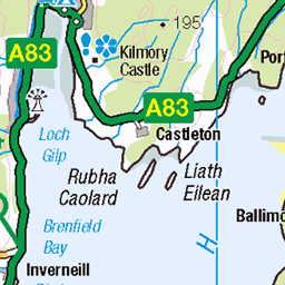
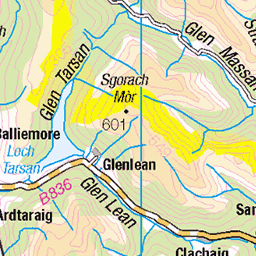
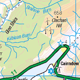
OS Map of Beinn Ghlas
Height: 420m / 1378ft • Prominence: 197m / 646ft • Summit : ground 1m NW of trig point • Trip reports (hill-bagging)


Crarae Garden, Inveraray Castle en Callander - 15 april 2017
15-Apr-17 • CarolienC • flickr
2017 craraegardens annelies schotland scotland stijn 36421929705
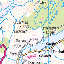
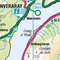
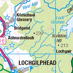
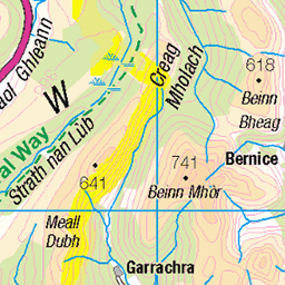
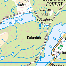
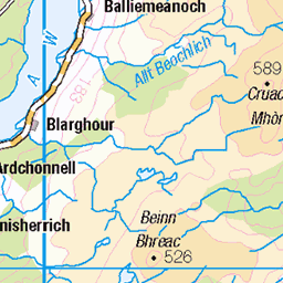
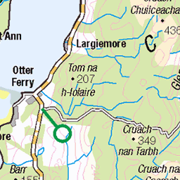
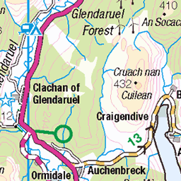
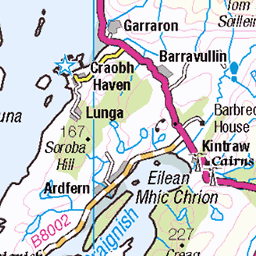
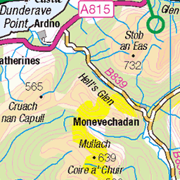
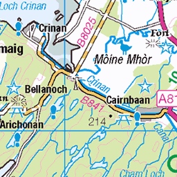
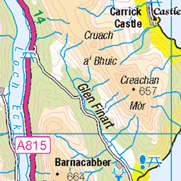
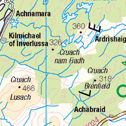
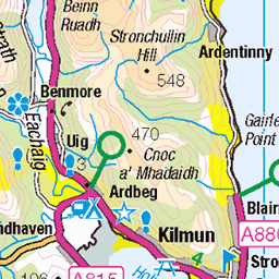
OS Map
This is OS mapping. In some areas, OpenStreetMap shows more footpaths
Spatial NI has online OSNI mapping. Click "Basemap Gallery" (4 squares icon at the top).
Now would be a good time for a cup of tea.

GPX Editor
Record map clicks
Reload map
Photos
Please tag your photos and upload them to the British and Irish Mountains group on Flickr
The other photos have been geo-tagged as on or around the summit. For less busy mountains, it can be a little hit and miss.
Crarae Garden, Inveraray Castle en Callander - 15 april 2017
15-Apr-17 • CarolienC • flickr
2017 craraegardens annelies schotland scotland stijn 36421929705

Crarae Garden, Inveraray Castle en Callander - 15 april 2017
15-Apr-17 • CarolienC • flickr
2017 craraegardens annelies schotland scotland stijn 36253619342

Crarae Garden, Inveraray Castle en Callander - 15 april 2017
15-Apr-17 • CarolienC • flickr
2017 craraegardens annelies schotland scotland stijn 36253618582

DSC_5853
Crarae Garden is a tranquil site, with its dramatic gorge, rippling burn, waterfalls and cliffs. The informal hillside layout of mature woody plants radiating out from the burn creates a wonderful natural effect. Near the banks of Loch Fyne, on the west coast, immerse yourself in Britain's finest example of an exotic Himalayan-style woodland garden.
05-May-16 • erwin-edmonton • flickr
30746806284

Scotland, coast of Argyll and Bute
17-Jun-15 • Boudewijn Vermeulen • flickr
argyle ecosse highlands holiday schotland scotland clouds luchten publ sea seascape skies wolken zee 32074071935
Videos
Embark on a breathtaking winter journey with me as I brave the elements for a New Year's Day ascent of Beinn Ghlas in the ...
Notes
- Data: Database of British and Irish Hills v18.2
- Maps: We use OS mapping for England, Scotland, Wales, and the Isle of Man. Sadly, Channel Islands, Northern (OSNI) and Southern Ireland (OSI) mapping isn't available online, so we use Openstreetmap.