Hills of Britain and Ireland
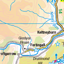
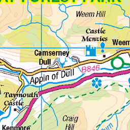
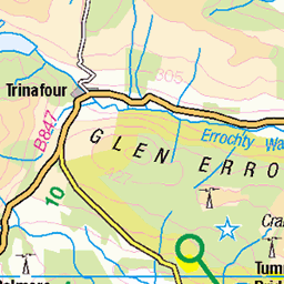
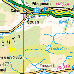
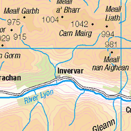
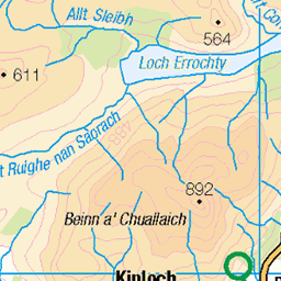
OS Map of Meall Tairneachan
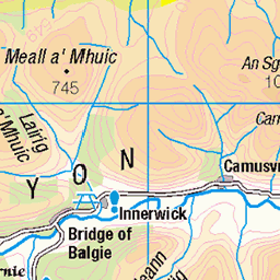
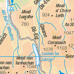
Height: 787m / 2582ft • Prominence: 420m / 1378ft • Summit : trig point • Trip reports (hill-bagging)


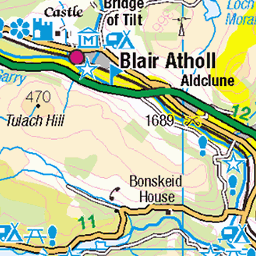
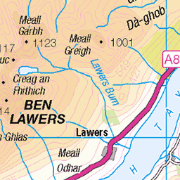
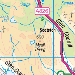
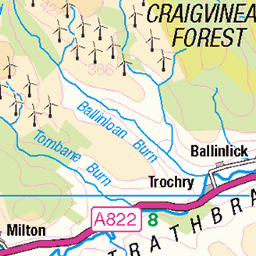
OS Map
This is OS mapping. In some areas, OpenStreetMap shows more footpaths
Spatial NI has online OSNI mapping. Click "Basemap Gallery" (4 squares icon at the top).
Now would be a good time for a cup of tea.
GPX Editor
Record map clicks
Reload map
Photos
Please tag your photos and upload them to the British and Irish Mountains group on Flickr
The other photos have been geo-tagged as on or around the summit. For less busy mountains, it can be a little hit and miss.


Videos
A fine day with Lee on the 2 Corbetts in betweenoch Tummel & Aberfeldy, Meall Tairneachan & Farragon Hill.
A walk to climb two Corbett's between Loch Tummel and Aberfeldy. It follows a quarry track for the most part leaving it to scale ...
Short timelapse video of the iconic Munro Schiehallion from the neighbouring Corbett Meall Tairneachan.
Notes
- Data: Database of British and Irish Hills v18.2
- Maps: We use OS mapping for England, Scotland, Wales, and the Isle of Man. Sadly, Channel Islands, Northern (OSNI) and Southern Ireland (OSI) mapping isn't available online, so we use Openstreetmap.