Hills of Britain and Ireland
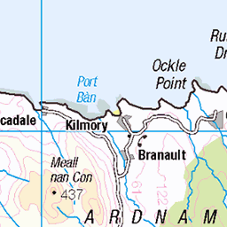
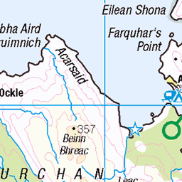
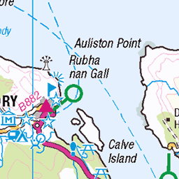
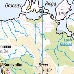
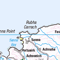
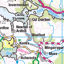
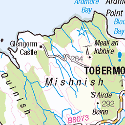
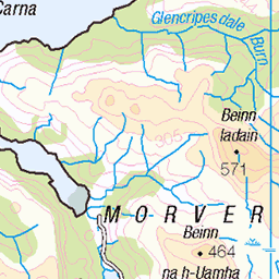
OS Map of Ben Hiant
Height: 528m / 1732ft • Prominence: 463m / 1519ft • Summit : cairn by trig point • Trip reports (hill-bagging)


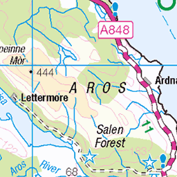
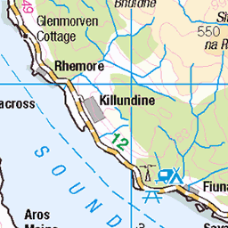
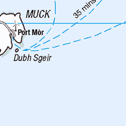
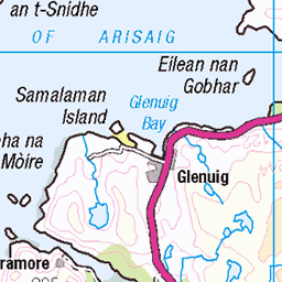
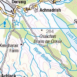
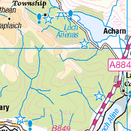
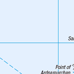
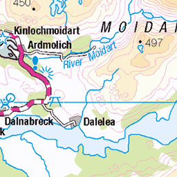
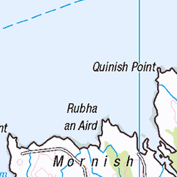
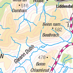
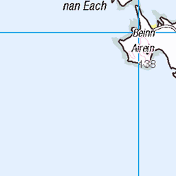
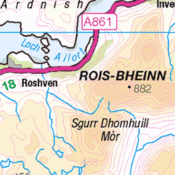
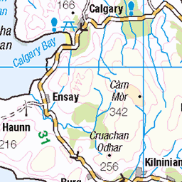
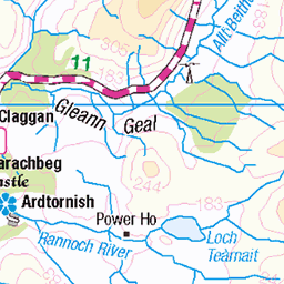
OS Map
This is OS mapping. In some areas, OpenStreetMap shows more footpaths
Spatial NI has online OSNI mapping. Click "Basemap Gallery" (4 squares icon at the top).
Now would be a good time for a cup of tea.
GPX Editor
Record map clicks
Reload map
Photos
Please tag your photos and upload them to the British and Irish Mountains group on Flickr
The other photos have been geo-tagged as on or around the summit. For less busy mountains, it can be a little hit and miss.


Videos
I'd seen Ben Hiant from Mull while driving towards Tobermory and it looked striking and a bit intimidating rising straight up from ...
Another trip to the Ardnamurchan Peninsula in Scotland. Over a 5 day period. Lots of wildlife on routes. Explored the Glendrian ...
528m.
A wee short video from when we were hiking an extinct volcano in Scotland. The extinct volcano is called Ben Hiant and it took us ...
Hiking old VOLCANO (scottish highlands) is a bit of a dramatic title but Ben Hiant is in fact an old dead volcano in the Scottish ...
Notes
- Data: Database of British and Irish Hills v18.2
- Maps: We use OS mapping for England, Scotland, Wales, and the Isle of Man. Sadly, Channel Islands, Northern (OSNI) and Southern Ireland (OSI) mapping isn't available online, so we use Openstreetmap.