Hills of Britain and Ireland
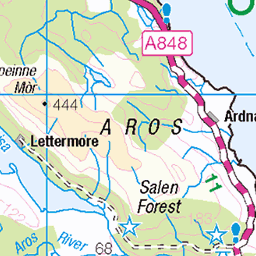
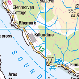
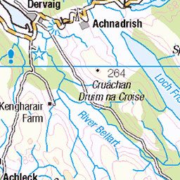
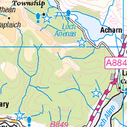
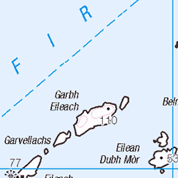
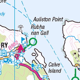
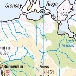
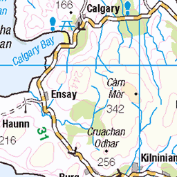
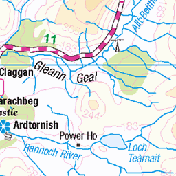
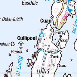
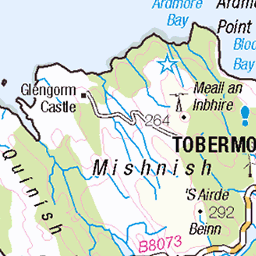
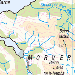
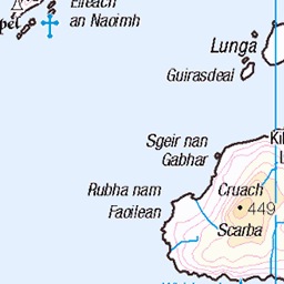
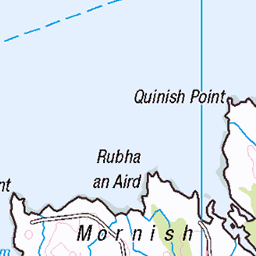
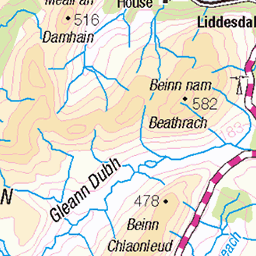
OS Map of Ben More
Height: 966m / 3169ft • Prominence: 966m / 3169ft • Summit : OS rivet in centre of large stone shelter • Trip reports (hill-bagging)


OS Map
This is OS mapping. In some areas, OpenStreetMap shows more footpaths
Spatial NI has online OSNI mapping. Click "Basemap Gallery" (4 squares icon at the top).
Now would be a good time for a cup of tea.


GPX Editor
Record map clicks
Reload map
Photos
Please tag your photos and upload them to the British and Irish Mountains group on Flickr
The other photos have been geo-tagged as on or around the summit. For less busy mountains, it can be a little hit and miss.


photo
14-Sep-15 • Marie-Laure Even • flickr
autumn hike landscape highlands nature benbuie 2015 isleofmull september wild marielaureeven travel roadtrip scotland trail benmore nikond7100 bw europe wilderness mountain uk 53470302711
Videos
Join us on a thrilling adventure as we tackle the mighty Ben More on the enchanting Isle of Mull, Scotland! Our journey begins with ...
Tour Scotland short travel video clip, with Scottish music, of Ben More mountain on ancestry, genealogy, history visit to the Isle ...
Ben More, Mull. A description for young kids.
hiking #wulliescottishoutdoors shorts #mountains #benmore Out hiking up Ben more on the Isle of Mull Scotland.
Notes
- Data: Database of British and Irish Hills v18.2
- Maps: We use OS mapping for England, Scotland, Wales, and the Isle of Man. Sadly, Channel Islands, Northern (OSNI) and Southern Ireland (OSI) mapping isn't available online, so we use Openstreetmap.