Hills of Britain and Ireland
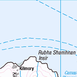
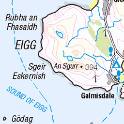
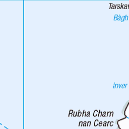
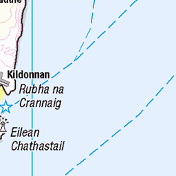
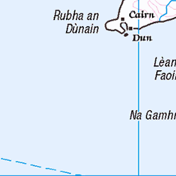
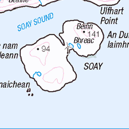
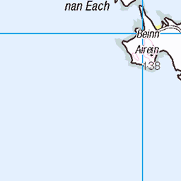
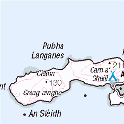
OS Map of Askival
Height: 812m / 2664ft • Prominence: 812m / 2664ft • Summit : pointed boulder close to trig point • Trip reports (hill-bagging)

The traverse of the Rum Cuillin: Ainshval from the south ridge of Trallval
21-Jun-18 • Mumbles Head • flickr
28390591437

The traverse of the Rum Cuillin: The west top of Trallval from the east top
Trallval is a Norse name meaning 'Hill of the Trolls', a name given by the Viking settlers on the the island, as are most of the names of the Rum hills. In Norse folklore, trolls are beings living in isolated caves, rocks and mountains, rarely helpful to human beings and therefore to be avoided if possible. One explanation for the association of this hill with the dwellings of trolls is the large number of burrows of Manx Shearwaters, birds which still nest on the island in huge numbers. Manx Shearwaters spend most of their life at sea, only returning to land to raise their young. They return to their nests only under cover of complete darkness to avoid predation and when landing make unearthly sounds which must have put fear into the hearts of the local inhabitants. Despite there being no cairn on the west top of Trallval (seen here), it is the higher of the two tops. Just to confuse matters, the east top has a small cairn, so it's probable that especially in poor visibility this cairn on the east top is taken for the summit if the route guide isn't known or to hand for reference. The west top is an airy perch and the scramble between the two tops is one of the highlights of the traverse of the Rum Cuillin. For better balance and agility, I left my rucksack at this point to scramble out and back (including, I realised at some point on the traverse, leaving behind my camera) so you'll just have to take my word for it that I got to that pointy bit of grass that indicates the summit! The way I took the traverse was on the right side to start with, switching to the left of the crest on starting the ascent. My chosen route included a short OMG section ('slip now and you're dead') with a narrow ledge about one foot wide and six foot long, the drop being probably more than a hundred feet. That's perhaps why I didn't go back to do it a second time with my camera round my neck.
21-Jun-18 • Mumbles Head • flickr
scotland highlands mountains rum rhum island cuillin landscape corbetts grahams 41446264470


OS Map
This is OS mapping. In some areas, OpenStreetMap shows more footpaths
Spatial NI has online OSNI mapping. Click "Basemap Gallery" (4 squares icon at the top).
Now would be a good time for a cup of tea.


GPX Editor
Record map clicks
Reload map
Photos
Please tag your photos and upload them to the British and Irish Mountains group on Flickr
The other photos have been geo-tagged as on or around the summit. For less busy mountains, it can be a little hit and miss.
The traverse of the Rum Cuillin: Ainshval from the south ridge of Trallval
21-Jun-18 • Mumbles Head • flickr
28390591437
The traverse of the Rum Cuillin: The west top of Trallval from the east top
Trallval is a Norse name meaning 'Hill of the Trolls', a name given by the Viking settlers on the the island, as are most of the names of the Rum hills. In Norse folklore, trolls are beings living in isolated caves, rocks and mountains, rarely helpful to human beings and therefore to be avoided if possible. One explanation for the association of this hill with the dwellings of trolls is the large number of burrows of Manx Shearwaters, birds which still nest on the island in huge numbers. Manx Shearwaters spend most of their life at sea, only returning to land to raise their young. They return to their nests only under cover of complete darkness to avoid predation and when landing make unearthly sounds which must have put fear into the hearts of the local inhabitants. Despite there being no cairn on the west top of Trallval (seen here), it is the higher of the two tops. Just to confuse matters, the east top has a small cairn, so it's probable that especially in poor visibility this cairn on the east top is taken for the summit if the route guide isn't known or to hand for reference. The west top is an airy perch and the scramble between the two tops is one of the highlights of the traverse of the Rum Cuillin. For better balance and agility, I left my rucksack at this point to scramble out and back (including, I realised at some point on the traverse, leaving behind my camera) so you'll just have to take my word for it that I got to that pointy bit of grass that indicates the summit! The way I took the traverse was on the right side to start with, switching to the left of the crest on starting the ascent. My chosen route included a short OMG section ('slip now and you're dead') with a narrow ledge about one foot wide and six foot long, the drop being probably more than a hundred feet. That's perhaps why I didn't go back to do it a second time with my camera round my neck.
21-Jun-18 • Mumbles Head • flickr
scotland highlands mountains rum rhum island cuillin landscape corbetts grahams 41446264470


Looking back from Askival to Halival. Gloria mundi the white dot to the right of Halival
30-Apr-11 • Richard Weller • flickr
5686762010

Manx shearwater (Puffinus puffinus)
Rùm, Inner Hebrides, Scotland. Copied from an Ektachrome 200 transparency.
12-Aug-85 • SteveInLeighton's Photos • flickr
transparency scotland ektachrome rum smallisles shearwater august 1985 innerhebrides rhum wildlife bird puffinuspuffinus olympusom10 highland 32050549025
Videos
Join Alistair and Douglas for their most epic hike yet, as they tackle the spectacular Rum Cuillin traverse on the Isle of Rum.
Hamish and I caught the boat over to Rum for our second 3 day adventure in Scotland. After our trip in Knoydart to Larven ( see ...
First day on the Small Isles - part of the mythical Cuillin ridge on Rùm, from Hallival to Askival with an escape to Dibidil in late ...
YouTube Channel Contact: Email: ketracell78@gmail.com Chris Stapleton Youtube Channel: ...
Second day on the Small Isles - part of the remotest area of Rùm, from Dibidil to Guirdil via Papadil and Harris. Lovely views over ...
Notes
- Data: Database of British and Irish Hills v18.2
- Maps: We use OS mapping for England, Scotland, Wales, and the Isle of Man. Sadly, Channel Islands, Northern (OSNI) and Southern Ireland (OSI) mapping isn't available online, so we use Openstreetmap.