Hills of Britain and Ireland
OS Map of Beinn nan Carn
Height: 301m / 988ft • Prominence: 248m / 814ft • Summit : no feature: 10m ENE of large cairn • Trip reports (hill-bagging)

Amar neo-chrìochnachd os cionn Ath-Leathainn/Outdoor infinity pool above Broadford.
lochbuidhe anteileansgitheanach isleofskye skye alba scotland eileansgitheanach schottland ecosse шотландия skotlanti skottland szkocja scozia escocia broskos escòcia skotland schotland σκωτία skócia albain escócia scoţia iskoçy alban highlands gàidhealtachd broadford antathleathann 49709975667

Uisge
lochbuidhe anteileansgitheanach isleofskye skye alba scotland eileansgitheanach schottland ecosse шотландия skotlanti skottland szkocja scozia escocia broskos escòcia skotland schotland σκωτία skócia albain escócia scoţia iskoçy alban highlands gàidhealtachd broadford antathleathann dubhisgeal blackandwhite 49709117388

OS Map
This is OS mapping. In some areas, OpenStreetMap shows more footpaths
Spatial NI has online OSNI mapping. Click "Basemap Gallery" (4 squares icon at the top).
Now would be a good time for a cup of tea.


GPX Editor
Record map clicks
Reload map
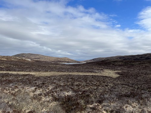
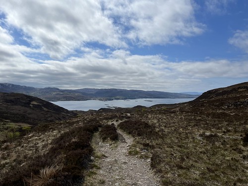
Photos
Please tag your photos and upload them to the British and Irish Mountains group on Flickr
The other photos have been geo-tagged as on or around the summit. For less busy mountains, it can be a little hit and miss.

Amar neo-chrìochnachd os cionn Ath-Leathainn/Outdoor infinity pool above Broadford.
lochbuidhe anteileansgitheanach isleofskye skye alba scotland eileansgitheanach schottland ecosse шотландия skotlanti skottland szkocja scozia escocia broskos escòcia skotland schotland σκωτία skócia albain escócia scoţia iskoçy alban highlands gàidhealtachd broadford antathleathann 49709975667

Uisge
lochbuidhe anteileansgitheanach isleofskye skye alba scotland eileansgitheanach schottland ecosse шотландия skotlanti skottland szkocja scozia escocia broskos escòcia skotland schotland σκωτία skócia albain escócia scoţia iskoçy alban highlands gàidhealtachd broadford antathleathann dubhisgeal blackandwhite 49709117388


The Red Cuillins
Beinn na Caillich, Beinn Dearg Mhor and Beinne Dearg Bheag from the Marble Line Path, near Braodford The Marble Line Path follows the line of an old railway track between Broadford and the Strath Suardal marble quarries.
01-Feb-13 • swan-scot • flickr
8438492926
Videos
The Broadford Red Hills in the Red Cuillins, on the Isle of Skye. Solo Hike #hiking #scotland #skye.
A solo hike up to Munro Bla Bheinn (Blaven), gaelic for the blue mountain, on the Isle of Skye in Scotland from the free Bla Bheinn ...
Perhaps the finest view of the Cuillin ridge, Sgurr na Stri may be a small hill in comparison to its surroundings, but its location ...
Notes
- Data: Database of British and Irish Hills v18.2
- Maps: We use OS mapping for England, Scotland, Wales, and the Isle of Man. Sadly, Channel Islands, Northern (OSNI) and Southern Ireland (OSI) mapping isn't available online, so we use Openstreetmap.


