Hills of Britain and Ireland
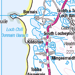
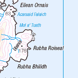
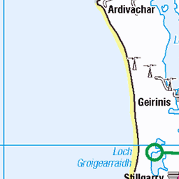
OS Map of Orasaigh
Height: 38m / 125ft • Prominence: 37m / 121ft • Trip reports (hill-bagging)

Barra
houses on the road to the airport seen from the ferry from Eriskay approaching Ardmhor
24-Jan-24 • Neil F King • flickr
scotland westernisles outerhebrides barra sea 53893195128


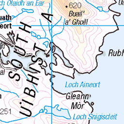
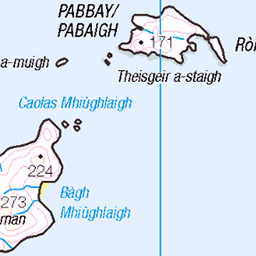
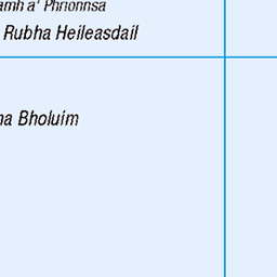
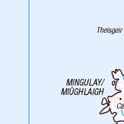
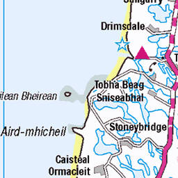
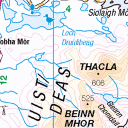
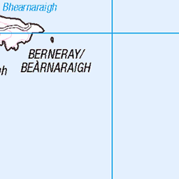
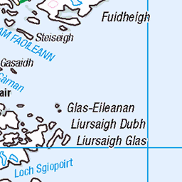
OS Map
This is OS mapping. In some areas, OpenStreetMap shows more footpaths
Spatial NI has online OSNI mapping. Click "Basemap Gallery" (4 squares icon at the top).
Now would be a good time for a cup of tea.


GPX Editor
Record map clicks
Reload map
Photos
Please tag your photos and upload them to the British and Irish Mountains group on Flickr
The other photos have been geo-tagged as on or around the summit. For less busy mountains, it can be a little hit and miss.
Barra
houses on the road to the airport seen from the ferry from Eriskay approaching Ardmhor
24-Jan-24 • Neil F King • flickr
scotland westernisles outerhebrides barra sea 53893195128


12755 Orasaigh
Walked out to this tidal island with Anne, Eric, Iain and Martin on a lovely sunny afternoon. Name:Orasaigh Hill number:12755 Height:38m / 125ft Parent (Ma/M):none Area:24D: Barra to Barra Head Class:0 Grid ref: NF712061 (est) Drop:38m Col:Sea
06-May-14 • Dugswell2 • flickr
barra tidalisland orasaigh 14212566435

12755 Orasaigh 1
Walked out to this tidal island with Anne, Eric, Iain and Martin on a lovely sunny afternoon. Name:Orasaigh Hill number:12755 Height:38m / 125ft Parent (Ma/M):none Area:24D: Barra to Barra Head Class:0 Grid ref: NF712061 (est) Drop:38m Col:Sea
06-May-14 • Dugswell2 • flickr
barra tidalisland orasaigh 14025922049
Videos
A whole week on the beautiful Outer Hebrides, Isle of Barra.
Notes
- Data: Database of British and Irish Hills v18.2
- Maps: We use OS mapping for England, Scotland, Wales, and the Isle of Man. Sadly, Channel Islands, Northern (OSNI) and Southern Ireland (OSI) mapping isn't available online, so we use Openstreetmap.