Hills of Britain and Ireland
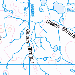
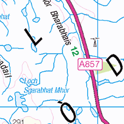
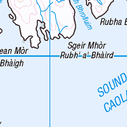
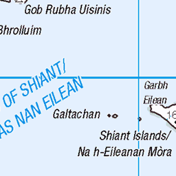
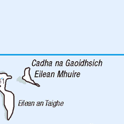
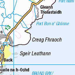
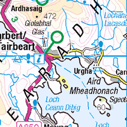
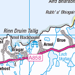
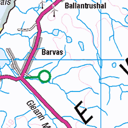
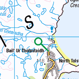
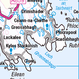
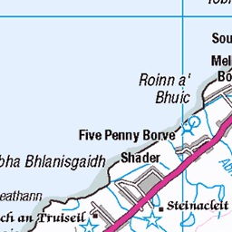
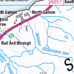
OS Map of Eilean Mor Lacasaidh


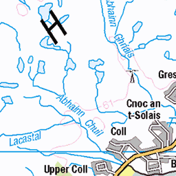
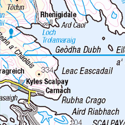
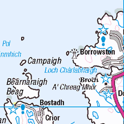
OS Map
This is OS mapping. In some areas, OpenStreetMap shows more footpaths
Spatial NI has online OSNI mapping. Click "Basemap Gallery" (4 squares icon at the top).
Now would be a good time for a cup of tea.


GPX Editor
Record map clicks
Reload map
Photos
Please tag your photos and upload them to the British and Irish Mountains group on Flickr
The other photos have been geo-tagged as on or around the summit. For less busy mountains, it can be a little hit and miss.


12750 Eilean Mor Lacasaidh
Engebret RIB group of ten seaweedy landing off tender. Name:Eilean Mor Lacasaidh Hill number:12750 Height:39m / 128ft Parent (Ma):none Section:24A: Lewis and Nearby Islands County/UA:Na h-Eileanan Siar [Western Isles] (UA) Maritime Area:Loch Erisort & East Lewis Island:Mono Tump island (t) Class:Tump (0-99m), SIB Grid ref:NB 33569 20817 Summit feature:small cairn Drop:39m Col:Sea
16-Jun-16 • Dugswell2 • flickr
isleoflewis tump tidalisland eileanmorlacasaidh sib p39 locherisort 28357976083

12750 Eilean Mor Lacasaidh a
16-Jun-16 • Dugswell2 • flickr
isleoflewis tump tidalisland eileanmorlacasaidh sib p39 locherisort 28688618120
Videos
None found
Notes
- Data: Database of British and Irish Hills v18.2
- Maps: We use OS mapping for England, Scotland, Wales, and the Isle of Man. Sadly, Channel Islands, Northern (OSNI) and Southern Ireland (OSI) mapping isn't available online, so we use Openstreetmap.