Hills of Britain and Ireland
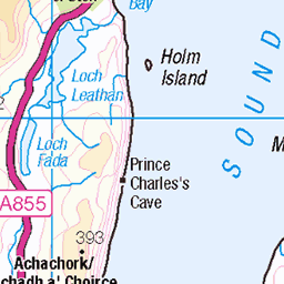
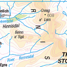
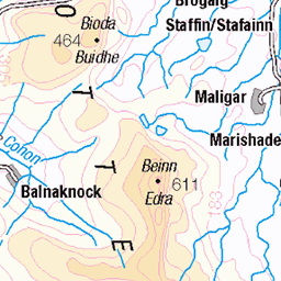
OS Map of Biod Mor


Glenbrittle
September 1995.
01-Apr-20 • DaveAFlett • flickr
isleofskye sutherlandofglenbrittle f938reh 49778209221


Isle of Skye - seascape
Sony Xperia Z1 images
17-Jan-14 • Chris Martin Photography • flickr
skye love nature landscape scotland isleofskye unitedkingdom picturesque carbost skie 12194062346
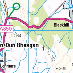
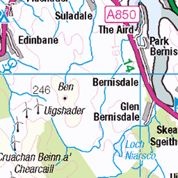
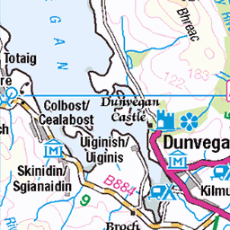
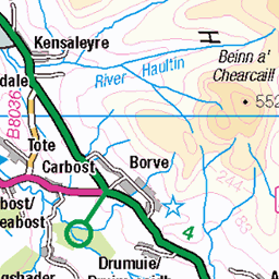
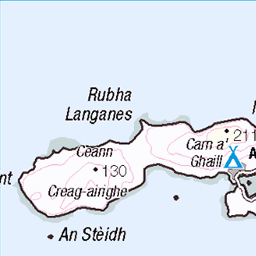
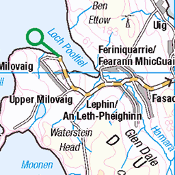
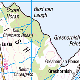
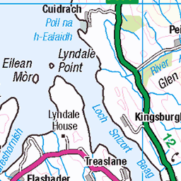
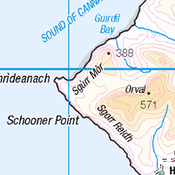
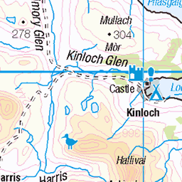
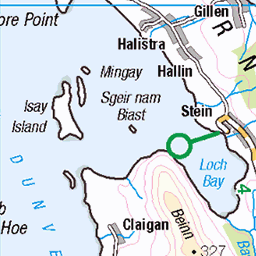
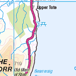
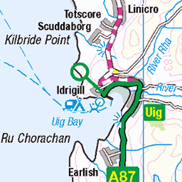
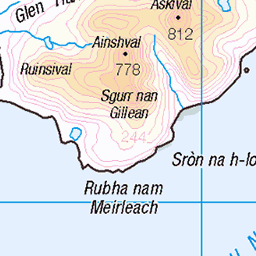
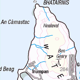
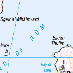
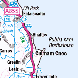
OS Map
This is OS mapping. In some areas, OpenStreetMap shows more footpaths
Spatial NI has online OSNI mapping. Click "Basemap Gallery" (4 squares icon at the top).
Now would be a good time for a cup of tea.


GPX Editor
Record map clicks
Reload map
Photos
Please tag your photos and upload them to the British and Irish Mountains group on Flickr
The other photos have been geo-tagged as on or around the summit. For less busy mountains, it can be a little hit and miss.
Glenbrittle
September 1995.
01-Apr-20 • DaveAFlett • flickr
isleofskye sutherlandofglenbrittle f938reh 49778209221
Isle of Skye - seascape
Sony Xperia Z1 images
17-Jan-14 • Chris Martin Photography • flickr
skye love nature landscape scotland isleofskye unitedkingdom picturesque carbost skie 12194062346

Fairy Pools (Skye)
14-Oct-12 • The Terry Eve Archive • flickr
skye waterfall isleofskye fairy pools cuillin 8625593272

Ruined Settlement of Leachd a' Chlèirich
A depopulated township comprising about 8 houses with byres or outbuildings. Known as Leachd a' Chlèirich (wrongly Lechd a' Cheirich on OS, this is probably a remnant of the township "Clachan Eynort" shown by Johnson in 1824.
skye bracadale 11315155233

St Maelrubha's Chapel, Borline
At Kilmoruy, Borline, are two roofless churches, the larger probably of the 18th century, and the smaller earlier.
skye saint churches maree bracadale maelrubha maolrubha 11314953646

Kilmolruy, Glen Eynort
Kilmolruy, at the head of Loch Eynort, so marked on Blaeu's map. Wm Reeves, Saint Maolrubha
skye saint churches maree bracadale maelrubha maolrubha 11314811504
Videos
None found
Notes
- Data: Database of British and Irish Hills v18.2
- Maps: We use OS mapping for England, Scotland, Wales, and the Isle of Man. Sadly, Channel Islands, Northern (OSNI) and Southern Ireland (OSI) mapping isn't available online, so we use Openstreetmap.