Hills of Britain and Ireland
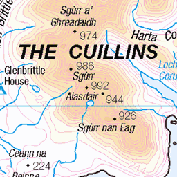
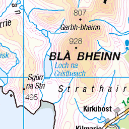
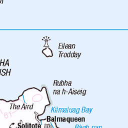
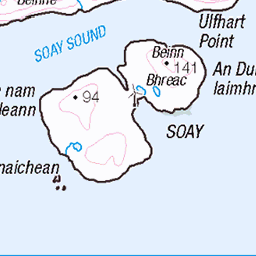
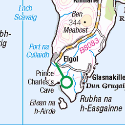
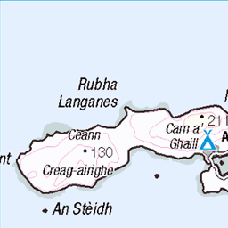
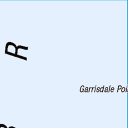
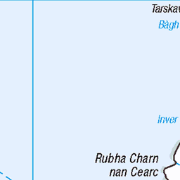
OS Map of Cruachan-Glen Vic Askill
Height: 295m / 968ft • Prominence: 194m / 636ft • Summit : cairn on outcrop • Trip reports (hill-bagging)

Fairy Pools
Isle of Skye Follow me on Instagram: instagram.com/douguerreotype" rel="noreferrer nofollow instagram.com/douguerreotype Follow me on Facebook: www.facebook.com/DougStrattonPhotography/" rel="noreferrer nofollow www.facebook.com/DougStrattonPhotography/ Buy prints, canvas and other products: dougstratton.com/shop" rel="noreferrer nofollow dougstratton.com/shop
21-May-21 • Douguerreotype • flickr
landscape longexposure rocks uk skye river scotland british water nature britain gb mountain waterfall 51412390638
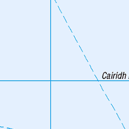
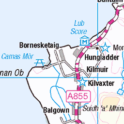
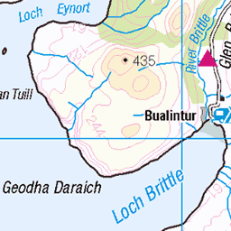
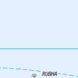
OS Map
This is OS mapping. In some areas, OpenStreetMap shows more footpaths
Spatial NI has online OSNI mapping. Click "Basemap Gallery" (4 squares icon at the top).
Now would be a good time for a cup of tea.


GPX Editor
Record map clicks
Reload map
Photos
Please tag your photos and upload them to the British and Irish Mountains group on Flickr
The other photos have been geo-tagged as on or around the summit. For less busy mountains, it can be a little hit and miss.
Fairy Pools
Isle of Skye Follow me on Instagram: instagram.com/douguerreotype" rel="noreferrer nofollow instagram.com/douguerreotype Follow me on Facebook: www.facebook.com/DougStrattonPhotography/" rel="noreferrer nofollow www.facebook.com/DougStrattonPhotography/ Buy prints, canvas and other products: dougstratton.com/shop" rel="noreferrer nofollow dougstratton.com/shop
21-May-21 • Douguerreotype • flickr
landscape longexposure rocks uk skye river scotland british water nature britain gb mountain waterfall 51412390638
Videos
None found
Notes
- Data: Database of British and Irish Hills v18.2
- Maps: We use OS mapping for England, Scotland, Wales, and the Isle of Man. Sadly, Channel Islands, Northern (OSNI) and Southern Ireland (OSI) mapping isn't available online, so we use Openstreetmap.