Hills of Britain and Ireland
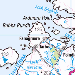
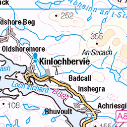
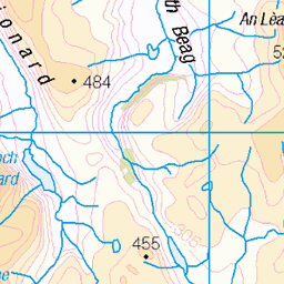
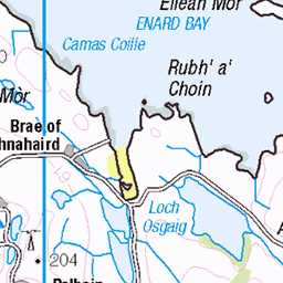
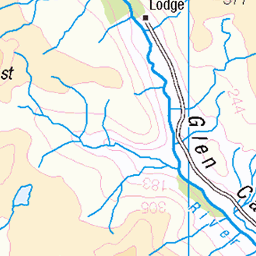
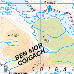
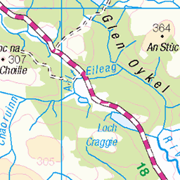
OS Map of Quinag - Sail Gharbh


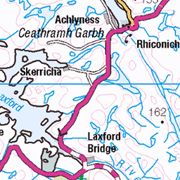
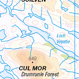
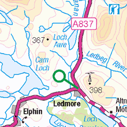
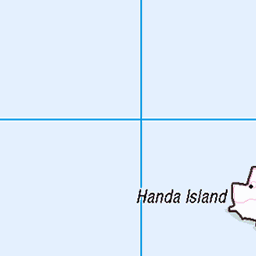
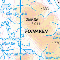
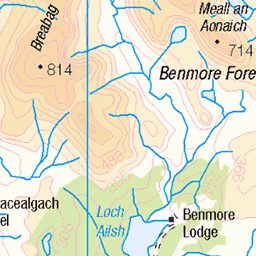
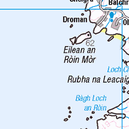
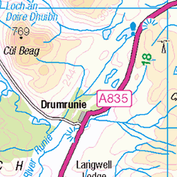
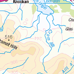
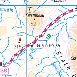
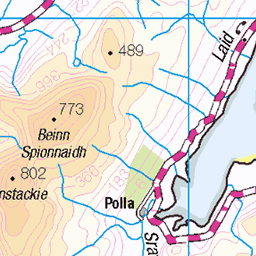
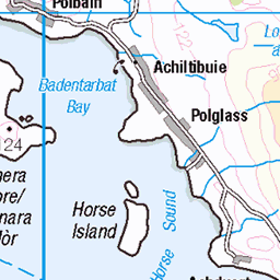
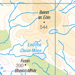
OS Map
This is OS mapping. In some areas, OpenStreetMap shows more footpaths
Spatial NI has online OSNI mapping. Click "Basemap Gallery" (4 squares icon at the top).
Now would be a good time for a cup of tea.


GPX Editor
Record map clicks
Reload map
Photos
Please tag your photos and upload them to the British and Irish Mountains group on Flickr
The other photos have been geo-tagged as on or around the summit. For less busy mountains, it can be a little hit and miss.


Videos
808m, Corbett. Canisp, Spidean Coinich, Cul Mor, & Suilven 0:00 Breabag 0:07 Ben More Assynt & Conival 0:10 Glas Bheinn ...
Corbett at 764m - took us over 3 and a half hours for 4.5 miles. Will be back to complete. My wife's favourite mountain located in ...
Thanks to everyone who supported us in this years fundraiser. Three Corbetts climbed on Quinag are Spidean Coinich, Sail Gorm ...
764m, Corbett. Spidean Coinich 0:00 Breabag 0:02 Sail Gharbh (Quinag) 0:03 Glas Bheinn 0:04 Ben Klibreck 0:09 Ben Hee 0:10 ...
Notes
- Data: Database of British and Irish Hills v18.2
- Maps: We use OS mapping for England, Scotland, Wales, and the Isle of Man. Sadly, Channel Islands, Northern (OSNI) and Southern Ireland (OSI) mapping isn't available online, so we use Openstreetmap.