Hills of Britain and Ireland
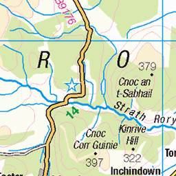
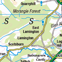
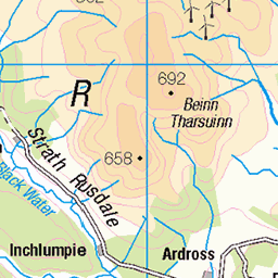
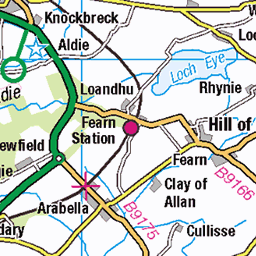
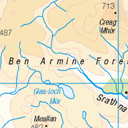
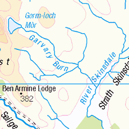
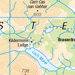
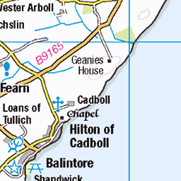
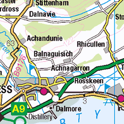
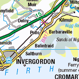
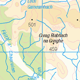
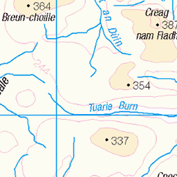
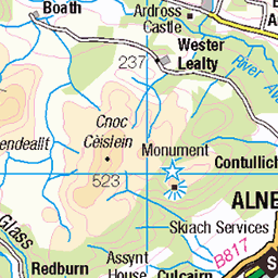
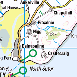
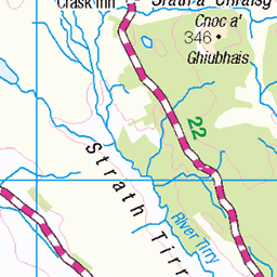
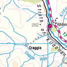
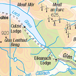
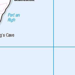
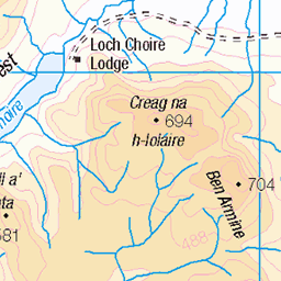
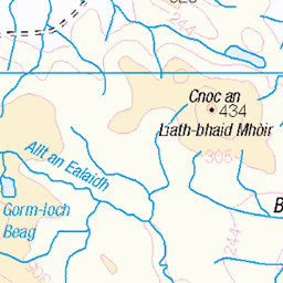
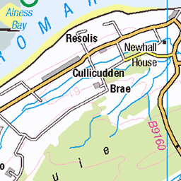
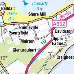
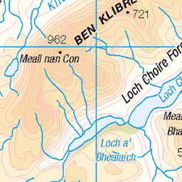
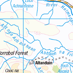
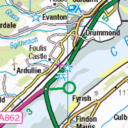
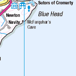
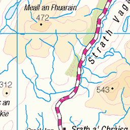
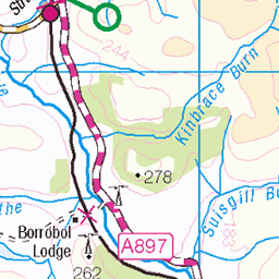
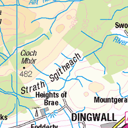
OS Map of Beinn Domhnaill
OS Map
This is OS mapping. In some areas, OpenStreetMap shows more footpaths
Spatial NI has online OSNI mapping. Click "Basemap Gallery" (4 squares icon at the top).
Now would be a good time for a cup of tea.
GPX Editor
Record map clicks
Reload map
Photos
Please tag your photos and upload them to the British and Irish Mountains group on Flickr
The other photos have been geo-tagged as on or around the summit. For less busy mountains, it can be a little hit and miss.
Videos
In today's video I will be climbing a very popular Scottish Mountain in Winter, these are known as the Bridge of Orchy Munros.
Beinn Dorain : The forecast changed at the last minute so a change of plan was hatched to enjoy the weather before it changed ...
A solo hike from the Bridge of Orchy taking in 2 Munros. The first is the iconic mountain seen on the way to Glencoe when driving ...
Snow, Sweat and Summits... today had it all from gale force winds, freezing temperatures to torturous under-foot conditions. This is ...
Notes
- Data: Database of British and Irish Hills v18.2
- Maps: We use OS mapping for England, Scotland, Wales, and the Isle of Man. Sadly, Channel Islands, Northern (OSNI) and Southern Ireland (OSI) mapping isn't available online, so we use Openstreetmap.