Hills of Britain and Ireland
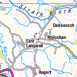
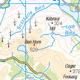
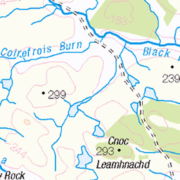
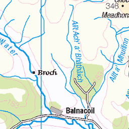
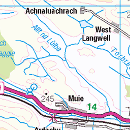
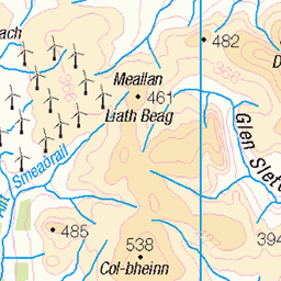
OS Map of Beinn Lunndaidh
Height: 446m / 1463ft • Prominence: 223m / 732ft • Summit : trig point on overgrown plinth • Trip reports (hill-bagging)

Loch Landsaidh
Loch Landsaidh above Golspie.
highlands flyfishing wildbrowntrout lochstyle lochlandsaidh 6341415161

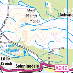
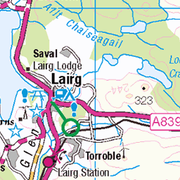
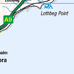
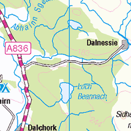
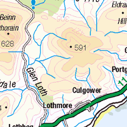
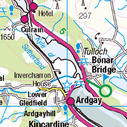
OS Map
This is OS mapping. In some areas, OpenStreetMap shows more footpaths
Spatial NI has online OSNI mapping. Click "Basemap Gallery" (4 squares icon at the top).
Now would be a good time for a cup of tea.


GPX Editor
Record map clicks
Reload map
Photos
Please tag your photos and upload them to the British and Irish Mountains group on Flickr
The other photos have been geo-tagged as on or around the summit. For less busy mountains, it can be a little hit and miss.
Loch Landsaidh
Loch Landsaidh above Golspie.
highlands flyfishing wildbrowntrout lochstyle lochlandsaidh 6341415161
Videos
Afternoon out on the munro Maoile Lunndaidh in wester ross. Approached from Craig up to the lodge then a walk up to Maoile ...
munrobagging #wildcamping #hillwalking Join me on my Munro bagging journey as I do a summit camp on Maoile Lunndaidh for ...
This walk takes in the three Munros to the south of Glen Carron when starting from Craig. Maoile Lunndaidh, Sgurr a' ...
Yessi Clothing: https://www.instagram.com/yessi_clothing/profilecard/?igsh=NWFyc25haTRuY2g= ▻Follow me on Instagram: ...
Maoile Lunndaidh is a very remote Munro, good but long initial way, then very rough terrain, pathless, boggy, some ...
Notes
- Data: Database of British and Irish Hills v18.2
- Maps: We use OS mapping for England, Scotland, Wales, and the Isle of Man. Sadly, Channel Islands, Northern (OSNI) and Southern Ireland (OSI) mapping isn't available online, so we use Openstreetmap.