Hills of Britain and Ireland
OS Map of Maiden Pap
Height: 484m / 1588ft • Prominence: 169m / 554ft • Summit : no feature • Trip reports (hill-bagging)


Panorama from Maiden Pap
With Scaraben, Smean, and Morven on the skyline.
26-Jun-10 • Donald Noble • flickr
panorama marilyn landscape scotland hill hills sutherland hillwalking hugin 4738620620

The ruins of an iron age wheelhouse (grid reference 027294) near the end of the Braemore road, just past Corrichoich.
The ruins of an iron age wheelhouse (grid reference 027294) near the end of the Braemore road, just past Corrichoich. Links: en.wikipedia.org/wiki/Wheelhouse_(archaeology)" rel="nofollow en.wikipedia.org/wiki/Wheelhouse_(archaeology) www.stornowaygazette.co.uk/news-features/Reconstruction-project-for-Iron-Age.2107478.jp" rel="nofollow www.stornowaygazette.co.uk/news-features/Reconstruction-p...
11-Apr-10 • Shandchem • flickr
scotland iron age maiden pap caithness wheelhouse morven 4532459542

The ruins of an iron age wheelhouse (grid reference 027294) near the end of the Braemore road, just past Corrichoich.
The ruins of an iron age wheelhouse (grid reference 027294) near the end of the Braemore road, just past Corrichoich. Links: en.wikipedia.org/wiki/Wheelhouse_(archaeology)" rel="nofollow en.wikipedia.org/wiki/Wheelhouse_(archaeology) www.stornowaygazette.co.uk/news-features/Reconstruction-project-for-Iron-Age.2107478.jp" rel="nofollow www.stornowaygazette.co.uk/news-features/Reconstruction-p...
11-Apr-10 • Shandchem • flickr
scotland iron age caithness wheelhouse morven 4531826169
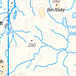
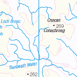
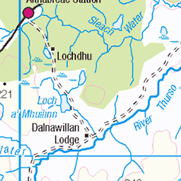
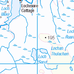
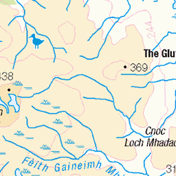
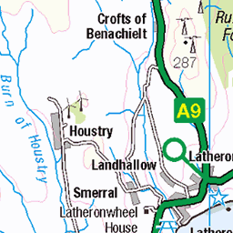
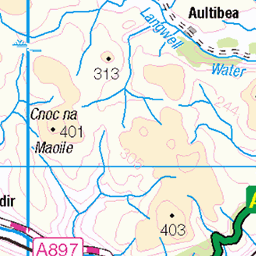
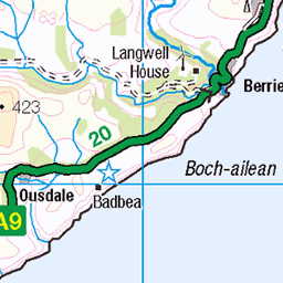
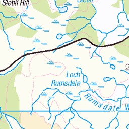
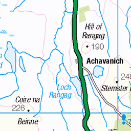
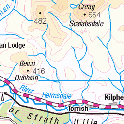
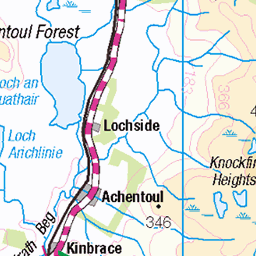
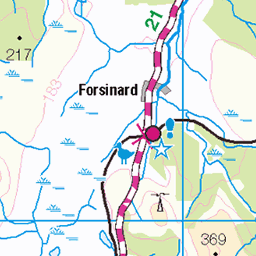
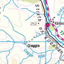
OS Map
This is OS mapping. In some areas, OpenStreetMap shows more footpaths
Spatial NI has online OSNI mapping. Click "Basemap Gallery" (4 squares icon at the top).
Now would be a good time for a cup of tea.

GPX Editor
Record map clicks
Reload map
Photos
Please tag your photos and upload them to the British and Irish Mountains group on Flickr
The other photos have been geo-tagged as on or around the summit. For less busy mountains, it can be a little hit and miss.
Panorama from Maiden Pap
With Scaraben, Smean, and Morven on the skyline.
26-Jun-10 • Donald Noble • flickr
panorama marilyn landscape scotland hill hills sutherland hillwalking hugin 4738620620
The ruins of an iron age wheelhouse (grid reference 027294) near the end of the Braemore road, just past Corrichoich.
The ruins of an iron age wheelhouse (grid reference 027294) near the end of the Braemore road, just past Corrichoich. Links: en.wikipedia.org/wiki/Wheelhouse_(archaeology)" rel="nofollow en.wikipedia.org/wiki/Wheelhouse_(archaeology) www.stornowaygazette.co.uk/news-features/Reconstruction-project-for-Iron-Age.2107478.jp" rel="nofollow www.stornowaygazette.co.uk/news-features/Reconstruction-p...
11-Apr-10 • Shandchem • flickr
scotland iron age maiden pap caithness wheelhouse morven 4532459542
The ruins of an iron age wheelhouse (grid reference 027294) near the end of the Braemore road, just past Corrichoich.
The ruins of an iron age wheelhouse (grid reference 027294) near the end of the Braemore road, just past Corrichoich. Links: en.wikipedia.org/wiki/Wheelhouse_(archaeology)" rel="nofollow en.wikipedia.org/wiki/Wheelhouse_(archaeology) www.stornowaygazette.co.uk/news-features/Reconstruction-project-for-Iron-Age.2107478.jp" rel="nofollow www.stornowaygazette.co.uk/news-features/Reconstruction-p...
11-Apr-10 • Shandchem • flickr
scotland iron age caithness wheelhouse morven 4531826169
Videos
None found
Notes
- Data: Database of British and Irish Hills v18.2
- Maps: We use OS mapping for England, Scotland, Wales, and the Isle of Man. Sadly, Channel Islands, Northern (OSNI) and Southern Ireland (OSI) mapping isn't available online, so we use Openstreetmap.