Hills of Britain and Ireland
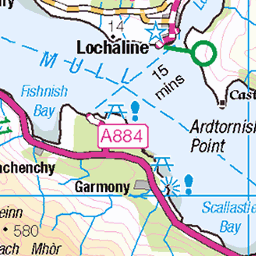
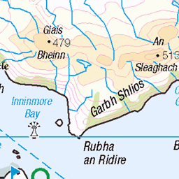
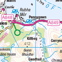
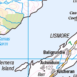
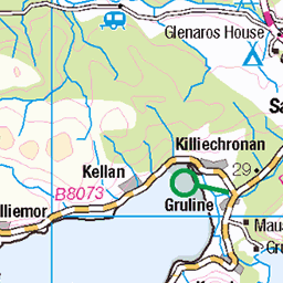
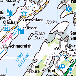
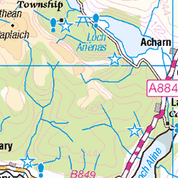
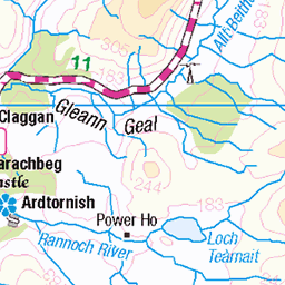
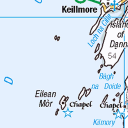
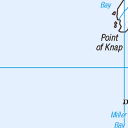
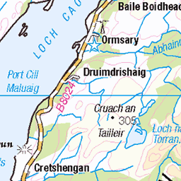
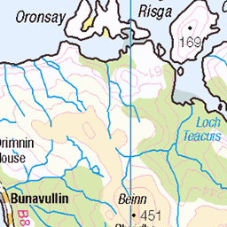
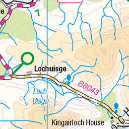
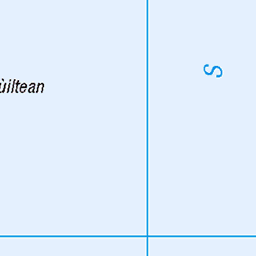
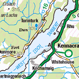
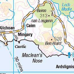
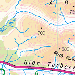
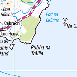
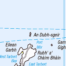
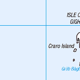
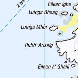
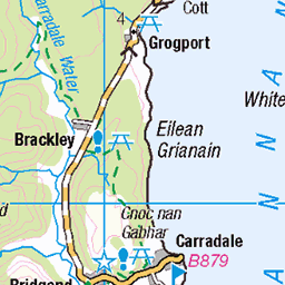
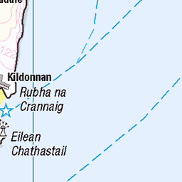
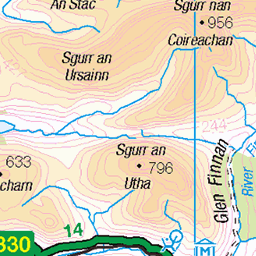
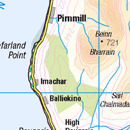
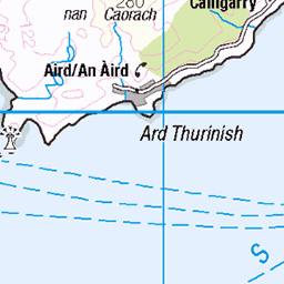
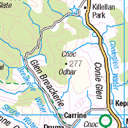
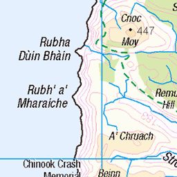
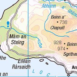
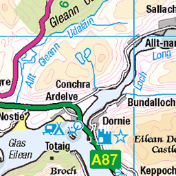
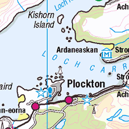
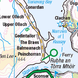
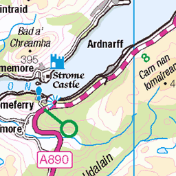
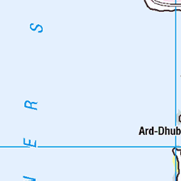
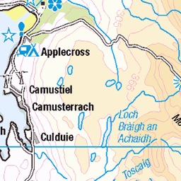
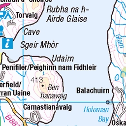
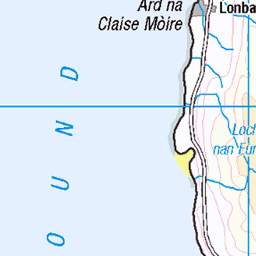
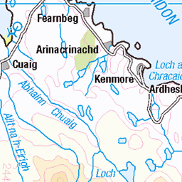
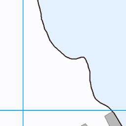
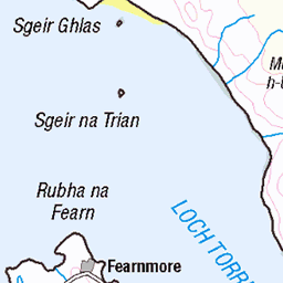
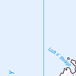
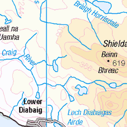
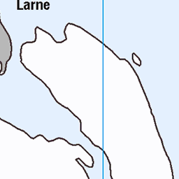
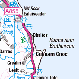
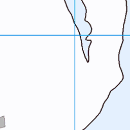
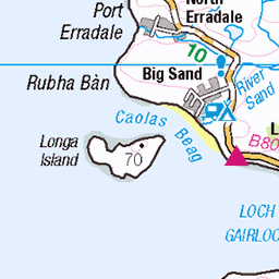
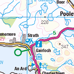
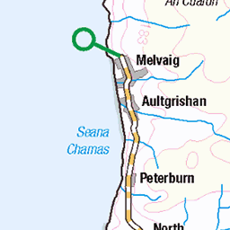
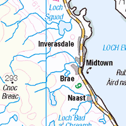
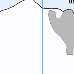
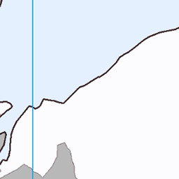
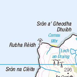
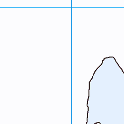
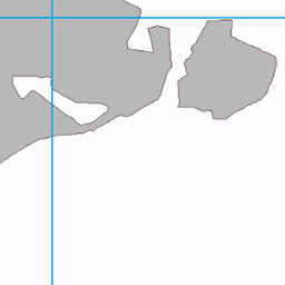
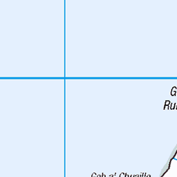
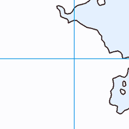
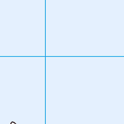
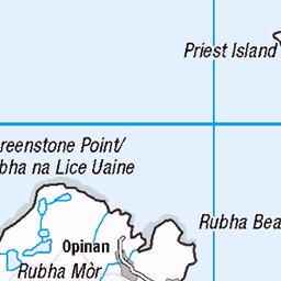
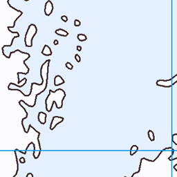
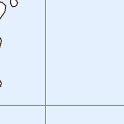
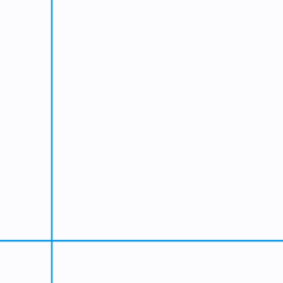
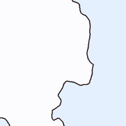
OS Map of Rubha Fiola


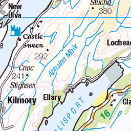
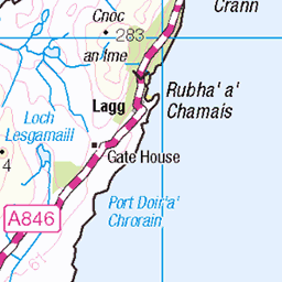
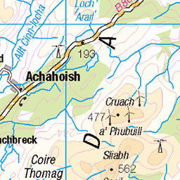
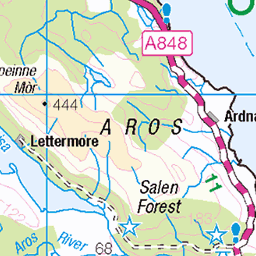
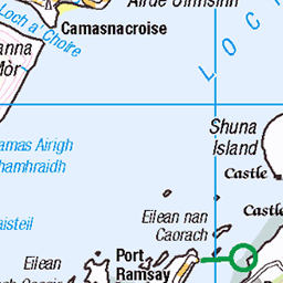
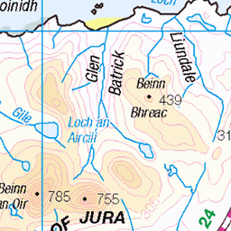
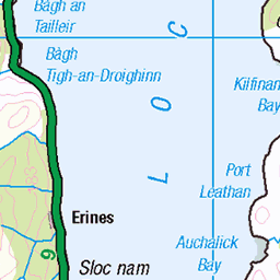
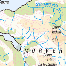
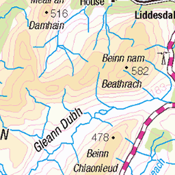
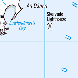
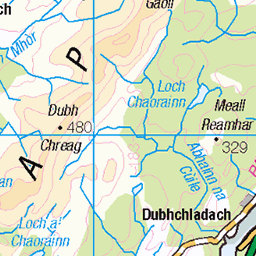
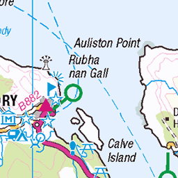
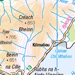
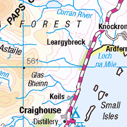
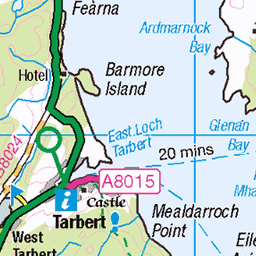
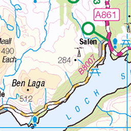
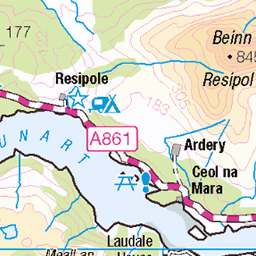
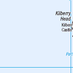
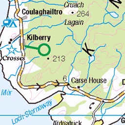
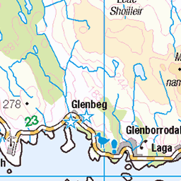
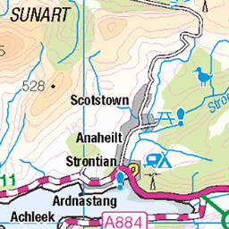
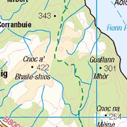
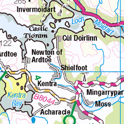
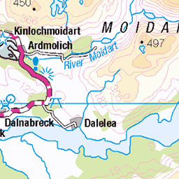
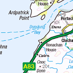
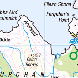
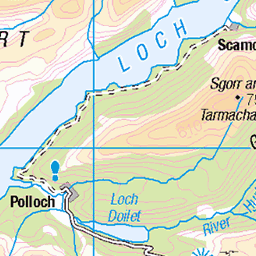
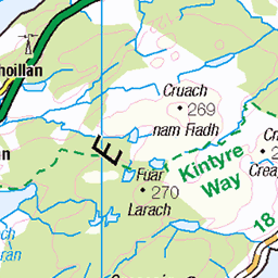
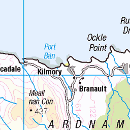
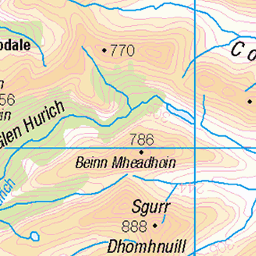
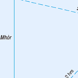
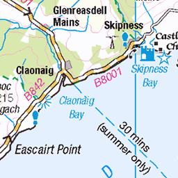
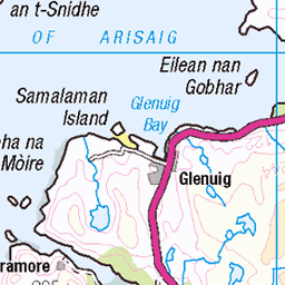
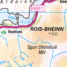
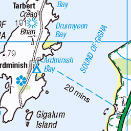
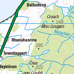
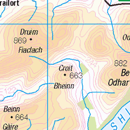
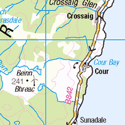
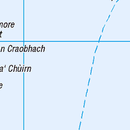
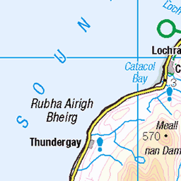
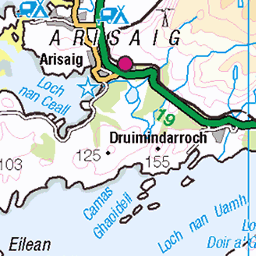
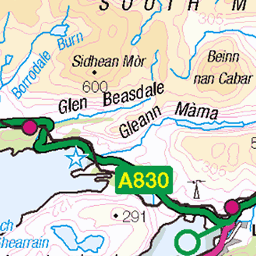
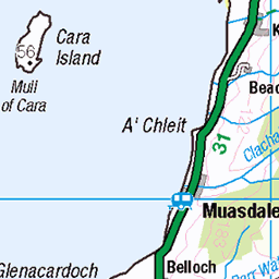
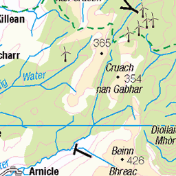
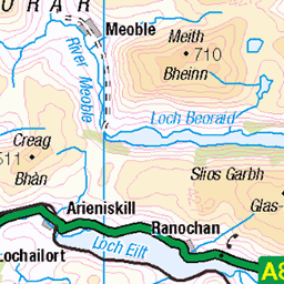
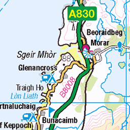
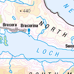
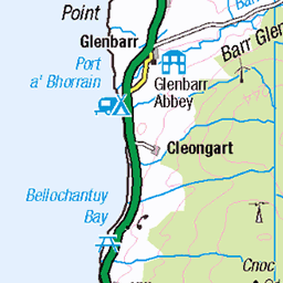
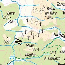
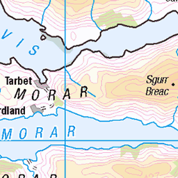
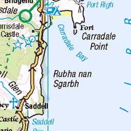
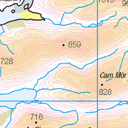
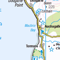
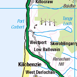
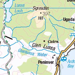
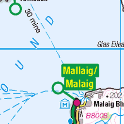
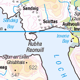
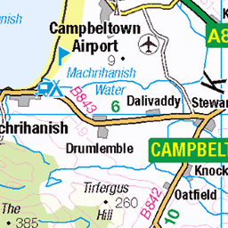
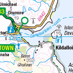
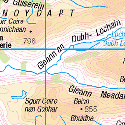
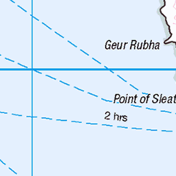
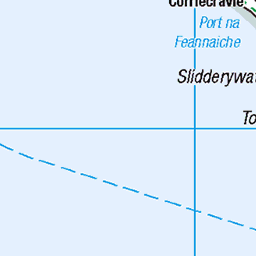
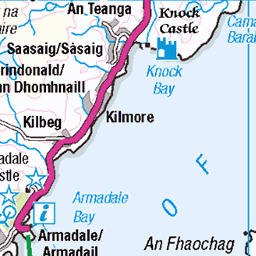
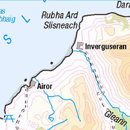
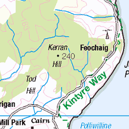
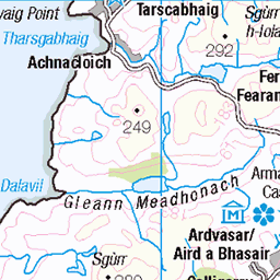
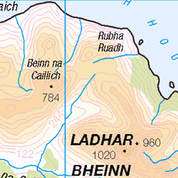
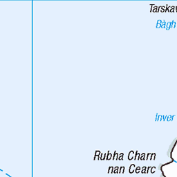
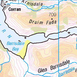
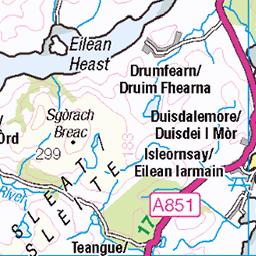
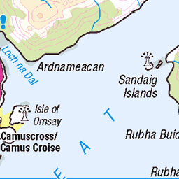
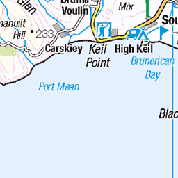
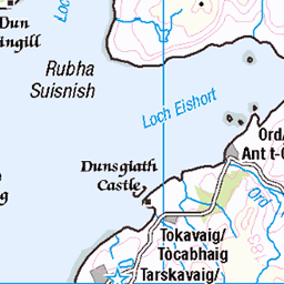
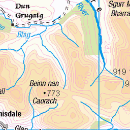
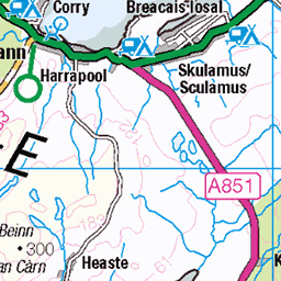
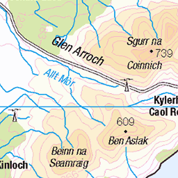
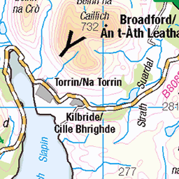
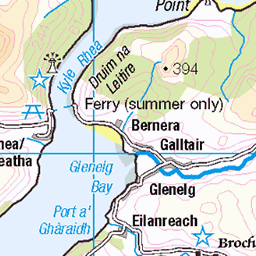
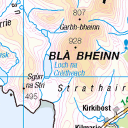
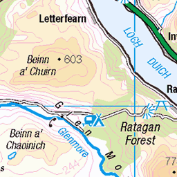
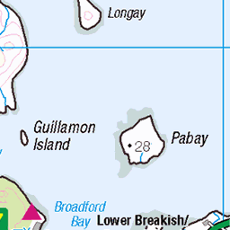
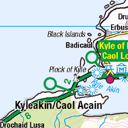
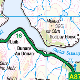
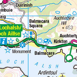
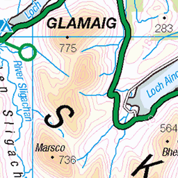
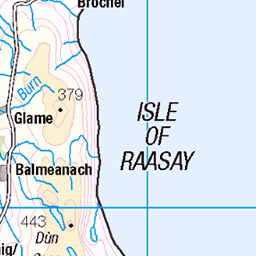
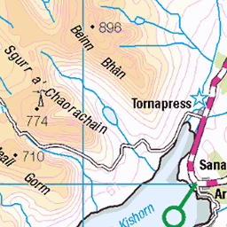
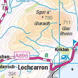
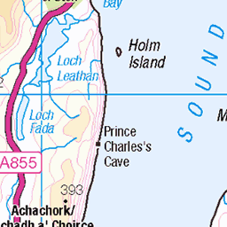
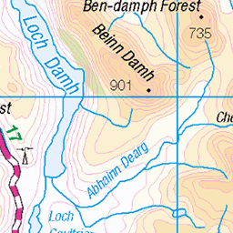
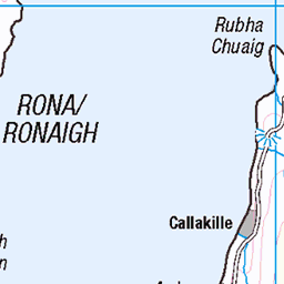
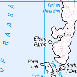
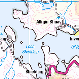
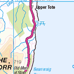
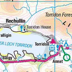
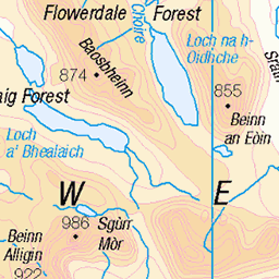
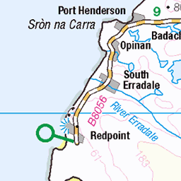
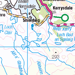
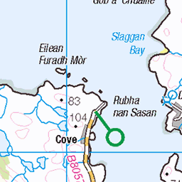
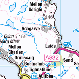
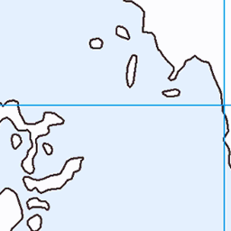
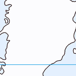
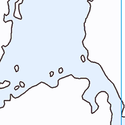
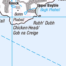
OS Map
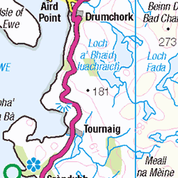
This is OS mapping. In some areas, OpenStreetMap shows more footpaths
Spatial NI has online OSNI mapping. Click "Basemap Gallery" (4 squares icon at the top).
Now would be a good time for a cup of tea.


GPX Editor
Record map clicks
Reload map
Photos
Please tag your photos and upload them to the British and Irish Mountains group on Flickr
The other photos have been geo-tagged as on or around the summit. For less busy mountains, it can be a little hit and miss.

Fladda lighthouse. Scotland.
Fladda is one of the Slate Islands, off the west coast of Argyll and Bute, Scotland. Fladda is an islet in the Sound of Luing, between Luing and Belnahua. The name Fladda originates from the Old Norse for 'flat island'. Fladda lighthouse is an active lighthouse located on the Islet of Fladda, one of the Slate Islands about 1.8 kilometres off Cullippol. The lighthouse was built in 1860 on project by David A. and Thomas Stevenson; it is a cylindrical masonry tower 13 metres high with gallery and lantern. The tower is painted white, the lantern is black and has ochre trim; it is a minor light operated by Northern Lighthouse Board but managed privately. The light emits a two white flashes every 9 seconds. The keeper’s house seems to be home to a large colony of terns.
10-May-16 • HUGH MC MILLAN • flickr
27714607055

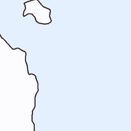
11540 Rubha Fiola
Dropped off by Farsain Cruises from Craobh Haven, then Rubha Fiola before walking over to Fiola Meadhonach at low tide. Name: Rubha Fiola Hill number: 11540 Height:34m / 112ft Parent (Ma/M):none Section: 20A: Jura, Scarba and Colonsay County/UA: Argyll and Bute (UA) Maritime Area:Scarba, Slate Islands & Firth of Lorn Class:Tump (0-99m), SIB Grid ref: NM712107 (est) Drop: 34m Col: Sea
10-Jun-15 • Dugswell2 • flickr
tump p34 islandtop rubhafiola 19045253760

Rock
Passing an island off the south of Oban, while on a wildlife cruise
18-Jun-13 • David J Russell • flickr
9303392390


Videos
None found
Notes
- Data: Database of British and Irish Hills v18.2
- Maps: We use OS mapping for England, Scotland, Wales, and the Isle of Man. Sadly, Channel Islands, Northern (OSNI) and Southern Ireland (OSI) mapping isn't available online, so we use Openstreetmap.