Hills of Britain and Ireland
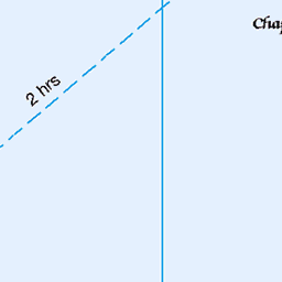
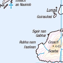
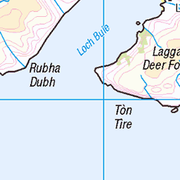
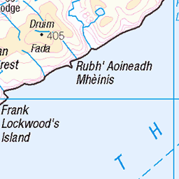
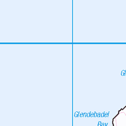
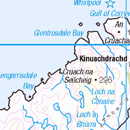
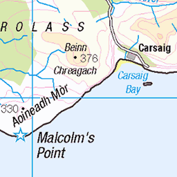
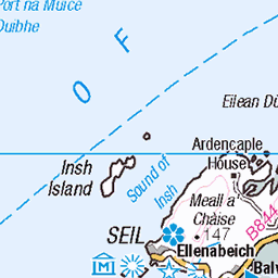
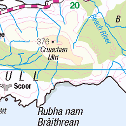
OS Map of Eileach an Naoimh

10507 - Eileach An Naoimh
NM638097, LR55. HISTORY Pillar completed 3rd June 1959 costing £9.10s.1½. Computed as secondary triangulation pillar NM52/40 within the Mull secondary block, and levelled to second class precision during 1960. This pillar station was last maintained by the Ordnance Survey in July 1980. SITE VISIT Approached from the south. The boat was moored by rocks at NR637093. Scrambled along the rocks along the peninsula to a worn grass path which leads to the trig column. The Vanessa is in good condition. The spider retains its original OS centre cap with raised large narrow letters. The flush bracket faces NNW, compass measurement 344°. Vented through the back (SE) sight hole. Any potential view to the neighbouring islands was lost to fog on day of this visit. Part of a multi island tour from Craobh Haven. Photographed: 2nd June 2018, GRP. ═════════════════════════ Interactive Index: www.google.com/maps/d/viewer?mid=1arx2Qmo5mVeVUJA2lzVG_uzbYPW59ffh&ll=56.22219759235941,-5.8212639820987055&z=10" rel="noreferrer nofollow Google My Maps Map: www.flickr.com/photos/13460108@N06/40847243015/in/album-72157692190778971/ Trig Pillars on OS Landranger 55 ═════════════════════════ Neighbouring Triangulation Pillars www.flickr.com/photos/13460108@N06/25215822917/in/album-72157631838876970/ 10512 - Cruach Scarba : 4.63 miles to the southeast. ═════════════════════════
02-Jun-18 • Graeme5015 • flickr
10507 eileachannaoimh garvellach garvellachs cullipool 43985216121

11521 Eileach an Naoimh
Dropped by boat below the chapel then up to Eileach an Naoimh, then onto the Vanessa trig plus TUMP top of Eileach an Naoimh SW Top, to just having time to visit the lighthouse. Name: Eileach an Naoimh Hill number: 11521 Height:80m / 262ft Parent (Ma/M):none Section: 20A: Jura, Scarba and Colonsay County/UA: Argyll and Bute (UA) Maritime Area:Scarba, Slate Islands & Firth of Lorn Class:Tump (0-99m), SIB Grid ref: NM644103 (est) Drop: 80m Col: Sea
10-Jun-15 • Dugswell2 • flickr
p80 tump eileachannaoimh islandtop 19042978030


Eileach an Naoimh
I know, I know; That's what I thought!
28-Jul-05 • DickStock • flickr
sailing scotland yacht whiskey sail voyce hebrides 42570870
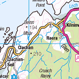
OS Map
This is OS mapping. In some areas, OpenStreetMap shows more footpaths
Spatial NI has online OSNI mapping. Click "Basemap Gallery" (4 squares icon at the top).
Now would be a good time for a cup of tea.


GPX Editor
Record map clicks
Reload map
Photos
Please tag your photos and upload them to the British and Irish Mountains group on Flickr
The other photos have been geo-tagged as on or around the summit. For less busy mountains, it can be a little hit and miss.
10507 - Eileach An Naoimh
NM638097, LR55. HISTORY Pillar completed 3rd June 1959 costing £9.10s.1½. Computed as secondary triangulation pillar NM52/40 within the Mull secondary block, and levelled to second class precision during 1960. This pillar station was last maintained by the Ordnance Survey in July 1980. SITE VISIT Approached from the south. The boat was moored by rocks at NR637093. Scrambled along the rocks along the peninsula to a worn grass path which leads to the trig column. The Vanessa is in good condition. The spider retains its original OS centre cap with raised large narrow letters. The flush bracket faces NNW, compass measurement 344°. Vented through the back (SE) sight hole. Any potential view to the neighbouring islands was lost to fog on day of this visit. Part of a multi island tour from Craobh Haven. Photographed: 2nd June 2018, GRP. ═════════════════════════ Interactive Index: www.google.com/maps/d/viewer?mid=1arx2Qmo5mVeVUJA2lzVG_uzbYPW59ffh&ll=56.22219759235941,-5.8212639820987055&z=10" rel="noreferrer nofollow Google My Maps Map: www.flickr.com/photos/13460108@N06/40847243015/in/album-72157692190778971/ Trig Pillars on OS Landranger 55 ═════════════════════════ Neighbouring Triangulation Pillars www.flickr.com/photos/13460108@N06/25215822917/in/album-72157631838876970/ 10512 - Cruach Scarba : 4.63 miles to the southeast. ═════════════════════════
02-Jun-18 • Graeme5015 • flickr
10507 eileachannaoimh garvellach garvellachs cullipool 43985216121
11521 Eileach an Naoimh
Dropped by boat below the chapel then up to Eileach an Naoimh, then onto the Vanessa trig plus TUMP top of Eileach an Naoimh SW Top, to just having time to visit the lighthouse. Name: Eileach an Naoimh Hill number: 11521 Height:80m / 262ft Parent (Ma/M):none Section: 20A: Jura, Scarba and Colonsay County/UA: Argyll and Bute (UA) Maritime Area:Scarba, Slate Islands & Firth of Lorn Class:Tump (0-99m), SIB Grid ref: NM644103 (est) Drop: 80m Col: Sea
10-Jun-15 • Dugswell2 • flickr
p80 tump eileachannaoimh islandtop 19042978030
Eileach an Naoimh
I know, I know; That's what I thought!
28-Jul-05 • DickStock • flickr
sailing scotland yacht whiskey sail voyce hebrides 42570870
Videos
Tour Scotland travel video clip, with Scottish music, of a beehive shaped double cell on Eileach an Naoimh Island on ancestry visit ...
It was almost the end of September ..and the forecast indicated a few days on "Indian Summer" so I took the boat back to the Oban ...
Notes
- Data: Database of British and Irish Hills v18.2
- Maps: We use OS mapping for England, Scotland, Wales, and the Isle of Man. Sadly, Channel Islands, Northern (OSNI) and Southern Ireland (OSI) mapping isn't available online, so we use Openstreetmap.