Hills of Britain and Ireland
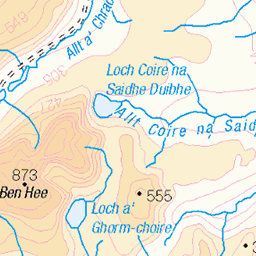
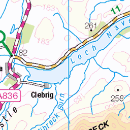
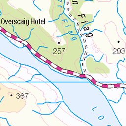
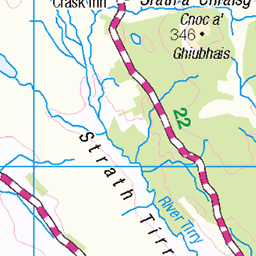
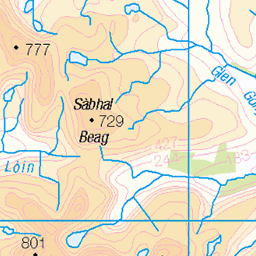
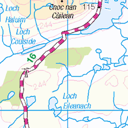
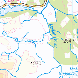
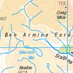
OS Map of Meall an Fhuarain
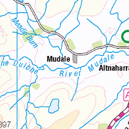
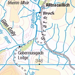
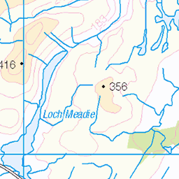
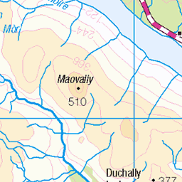
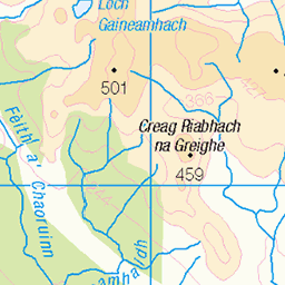
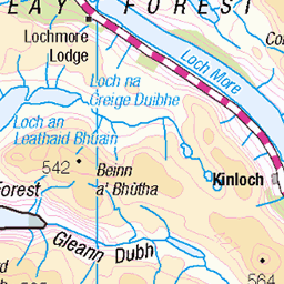
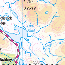
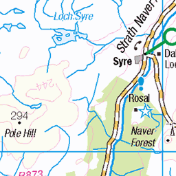
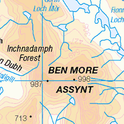
OS Map
This is OS mapping. In some areas, OpenStreetMap shows more footpaths
Spatial NI has online OSNI mapping. Click "Basemap Gallery" (4 squares icon at the top).
Now would be a good time for a cup of tea.

GPX Editor
Record map clicks
Reload map
Photos
Please tag your photos and upload them to the British and Irish Mountains group on Flickr
The other photos have been geo-tagged as on or around the summit. For less busy mountains, it can be a little hit and miss.
Videos
A tough Corbett it seemed to take forever to reach the summit 🏔️ but the weather played ball and made the slog a bit more ...
A circuit of the Corbett, Meall na Fhudair from near Inverarnan in wet and windy conditions. Then back to the Ochils ...
Panoramic shot from the top of Meall an Fhudair.
Bits of cloud but lovely views of the Arrochar Alps area from this Corbett.
Notes
- Data: Database of British and Irish Hills v18.2
- Maps: We use OS mapping for England, Scotland, Wales, and the Isle of Man. Sadly, Channel Islands, Northern (OSNI) and Southern Ireland (OSI) mapping isn't available online, so we use Openstreetmap.