Hills of Britain and Ireland
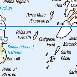
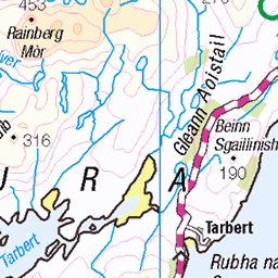
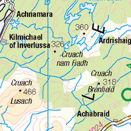
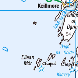
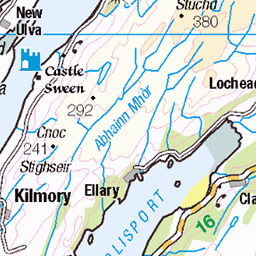
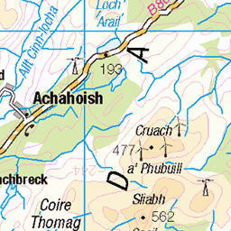
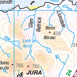
OS Map of Carsaig Island
Height: 37m / 121ft • Prominence: 37m / 121ft • Summit : small embedded boulder • Trip reports (hill-bagging)

Boat at Carsaig bay
Scotland, Autumn 2023
19-Sep-23 • G. Warrink • flickr
scotland beautifulscotland visitscotland alba argyllandbute knapdale carsaig carsaigbeach carsaigbay 53367435187

View towards Jura from Carsaig beach
Scotland, Autumn 2023
19-Sep-23 • G. Warrink • flickr
scotland beautifulscotland visitscotland alba argyllandbute knapdale carsaig carsaigbeach carsaigbay 53368531453


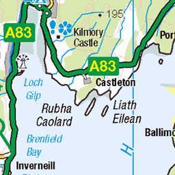
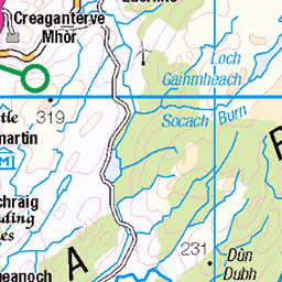
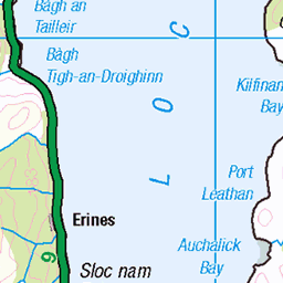
OS Map
This is OS mapping. In some areas, OpenStreetMap shows more footpaths
Spatial NI has online OSNI mapping. Click "Basemap Gallery" (4 squares icon at the top).
Now would be a good time for a cup of tea.

GPX Editor
Record map clicks
Reload map
Photos
Please tag your photos and upload them to the British and Irish Mountains group on Flickr
The other photos have been geo-tagged as on or around the summit. For less busy mountains, it can be a little hit and miss.
Boat at Carsaig bay
Scotland, Autumn 2023
19-Sep-23 • G. Warrink • flickr
scotland beautifulscotland visitscotland alba argyllandbute knapdale carsaig carsaigbeach carsaigbay 53367435187
View towards Jura from Carsaig beach
Scotland, Autumn 2023
19-Sep-23 • G. Warrink • flickr
scotland beautifulscotland visitscotland alba argyllandbute knapdale carsaig carsaigbeach carsaigbay 53368531453


Videos
A Kayaking trip from Tayvallich down Loch Sween, out into the Sound of Jura and back up to Carsaig Bay.
This cave is traditionally said to have been a cell occupied for a time by St Columba on his way from his home in Ulster to his final ...
First time visiting and camping at Tayvallich, what a place .... loved it ! will be back ▭ Contents of this video ...
Paddling up the Scotnish narrows and the Faery Isles of Loch Sween.
Notes
- Data: Database of British and Irish Hills v18.2
- Maps: We use OS mapping for England, Scotland, Wales, and the Isle of Man. Sadly, Channel Islands, Northern (OSNI) and Southern Ireland (OSI) mapping isn't available online, so we use Openstreetmap.