Hills of Britain and Ireland
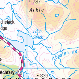
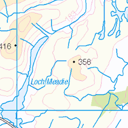
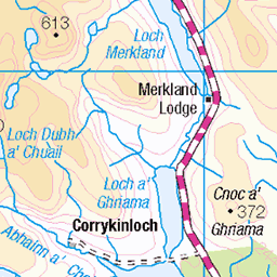
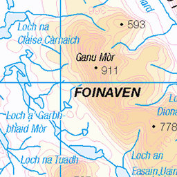
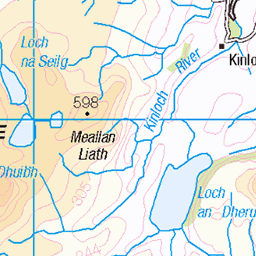
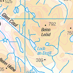
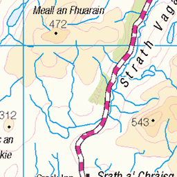
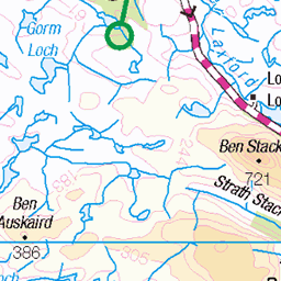
OS Map of Beinn Direach
Height: 689m / 2260ft • Prominence: 152m / 499ft • Summit : embedded slabby rock 30m NNE of cairn • Trip reports (hill-bagging)

Camp on Beinn Direach, Ben Hope in the background
20-May-12 • Paul Sammonds • flickr
mountain sutherland 7248445022
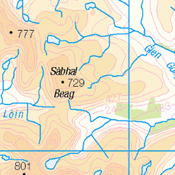
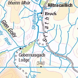
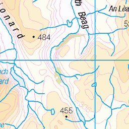
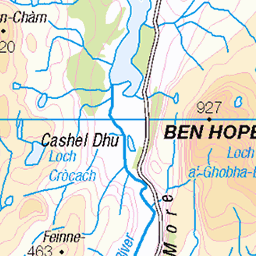
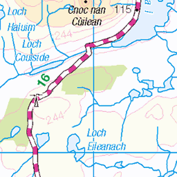
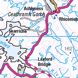
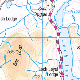
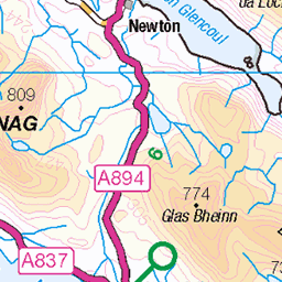
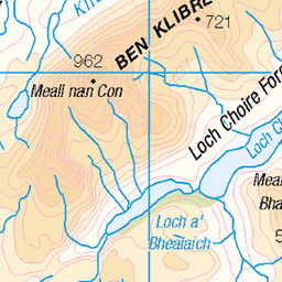
OS Map
This is OS mapping. In some areas, OpenStreetMap shows more footpaths
Spatial NI has online OSNI mapping. Click "Basemap Gallery" (4 squares icon at the top).
Now would be a good time for a cup of tea.

GPX Editor
Record map clicks
Reload map
Photos
Please tag your photos and upload them to the British and Irish Mountains group on Flickr
The other photos have been geo-tagged as on or around the summit. For less busy mountains, it can be a little hit and miss.
Camp on Beinn Direach, Ben Hope in the background
20-May-12 • Paul Sammonds • flickr
mountain sutherland 7248445022
Videos
None found
Notes
- Data: Database of British and Irish Hills v18.2
- Maps: We use OS mapping for England, Scotland, Wales, and the Isle of Man. Sadly, Channel Islands, Northern (OSNI) and Southern Ireland (OSI) mapping isn't available online, so we use Openstreetmap.