Hills of Britain and Ireland
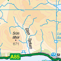
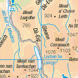
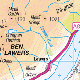
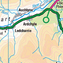
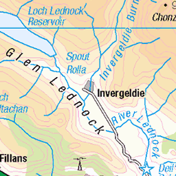
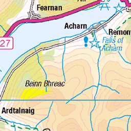
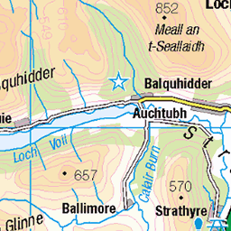
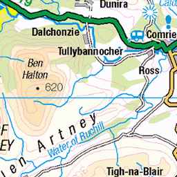
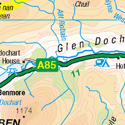
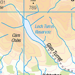
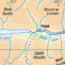
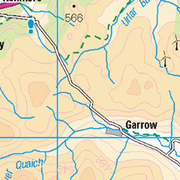
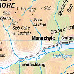
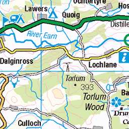
OS Map of Creag Gharbh
Height: 637m / 2091ft • Prominence: 151m / 495ft • Summit : rock 1m NE of trig point • Trip reports (hill-bagging)


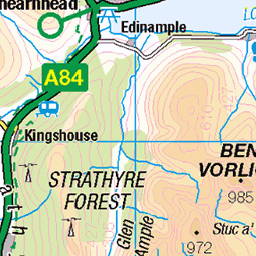
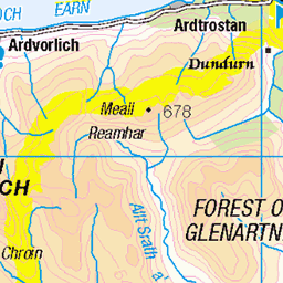
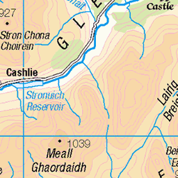
OS Map
This is OS mapping. In some areas, OpenStreetMap shows more footpaths
Spatial NI has online OSNI mapping. Click "Basemap Gallery" (4 squares icon at the top).
Now would be a good time for a cup of tea.
GPX Editor
Record map clicks
Reload map
Photos
Please tag your photos and upload them to the British and Irish Mountains group on Flickr
The other photos have been geo-tagged as on or around the summit. For less busy mountains, it can be a little hit and miss.


The summit of Creag Garbh, looking west towards Killin and the head of Loch Tay
17-Jun-19 • Mumbles Head • flickr
scotland mountains highlands grahams 48199635436

Looking east over Loch Tay from the summit of Creag Garbh
17-Jun-19 • Mumbles Head • flickr
scotland mountains highlands grahams 48199677852

Videos
Murrayofscotland #killin #hike #hiking #summit #creaggharbh #robroyway.
Although Gryffe Hillwalking Club's Christmas outing was on one of the worst weekends of the year we did manage a small hill and ...
DISCOVER SCOTLAND - The Ultimate Guide to Places In Scotland - You Won't Believe This! Scotland is a country in the United ...
Mountain Biking Scotland. Come along with me as I take on the challenge of mountain biking to the summit of Ben Chonzie, ...
Notes
- Data: Database of British and Irish Hills v18.2
- Maps: We use OS mapping for England, Scotland, Wales, and the Isle of Man. Sadly, Channel Islands, Northern (OSNI) and Southern Ireland (OSI) mapping isn't available online, so we use Openstreetmap.