Hills of Britain and Ireland
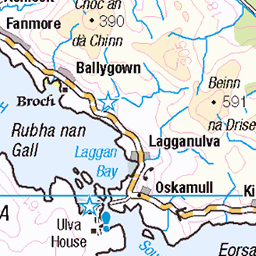
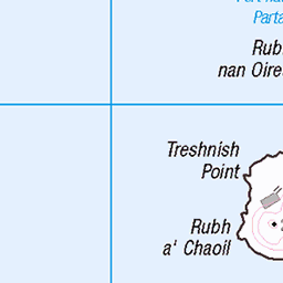
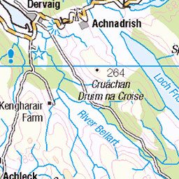
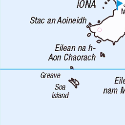
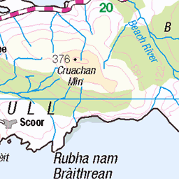
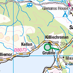
OS Map of Meall nan Gamhna (Staffa)


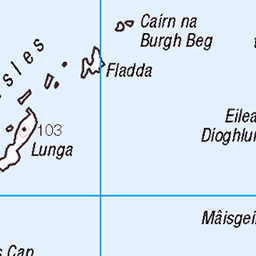
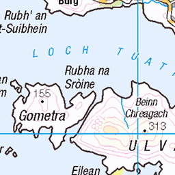
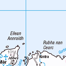
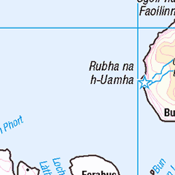
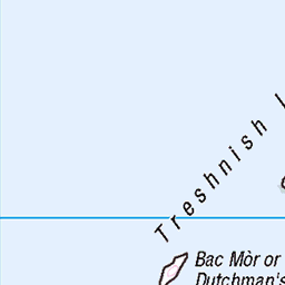
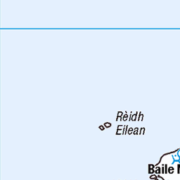
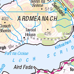
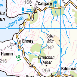
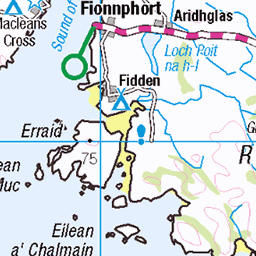
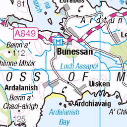
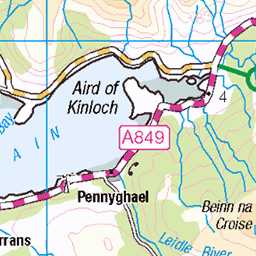
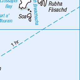
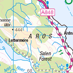
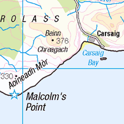
OS Map
This is OS mapping. In some areas, OpenStreetMap shows more footpaths
Spatial NI has online OSNI mapping. Click "Basemap Gallery" (4 squares icon at the top).
Now would be a good time for a cup of tea.

GPX Editor
Record map clicks
Reload map
Photos
Please tag your photos and upload them to the British and Irish Mountains group on Flickr
The other photos have been geo-tagged as on or around the summit. For less busy mountains, it can be a little hit and miss.


10527 Meall nan Gamhna
My third visit in 24 years and it gets better every time plus the Puffins were at home. Started from Fionnphort but failed to land on the Dutchman's Cap but landed on Lunga, Little Colonsay, Inch Kenneth, Eorsa and Staff with Coastal Connection's covered RIB from Oban. Name: Meall nan Gamhna (Staffa) Hill number: 10527 Height: 42m / 138ft Parent (Ma/M):none Section: 17E: Mull and Nearby Islands County/UA: Argyll and Bute (UA) Maritime Area:Mull & surrounding islands Class: Tump (0-99m), SIB Grid ref:NM 32383 35115 Summit feature: cairn Drop: 42m Col:Sea Observations: adjacent trig point is just lower
04-Jun-15 • Dugswell2 • flickr
p42 isleofstaffa islandtop meallnangamhna vanessatrigpoint 19175660776
Videos
None found
Notes
- Data: Database of British and Irish Hills v18.2
- Maps: We use OS mapping for England, Scotland, Wales, and the Isle of Man. Sadly, Channel Islands, Northern (OSNI) and Southern Ireland (OSI) mapping isn't available online, so we use Openstreetmap.