Hills of Britain and Ireland
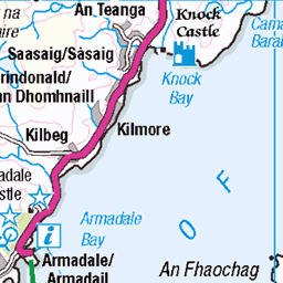
OS Map of Ornsay
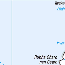
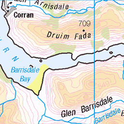
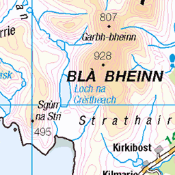
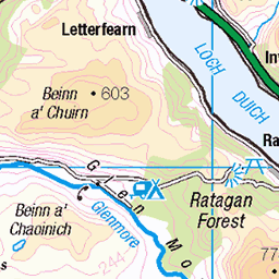
Height: 46m / 151ft • Prominence: 46m / 151ft • Summit : rock 4m NE of cairn • Trip reports (hill-bagging)


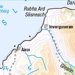
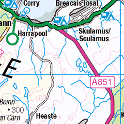
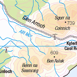
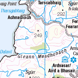
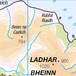
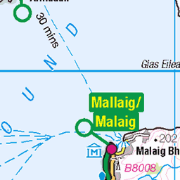
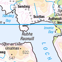
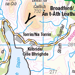
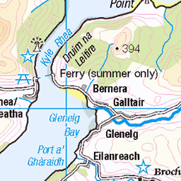
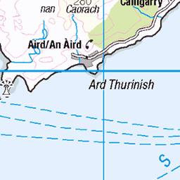
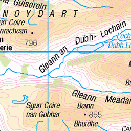
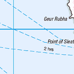
OS Map
This is OS mapping. In some areas, OpenStreetMap shows more footpaths
Spatial NI has online OSNI mapping. Click "Basemap Gallery" (4 squares icon at the top).
Now would be a good time for a cup of tea.

GPX Editor
Record map clicks
Reload map
Photos
Please tag your photos and upload them to the British and Irish Mountains group on Flickr
The other photos have been geo-tagged as on or around the summit. For less busy mountains, it can be a little hit and miss.


Isle Ornsay Lighthouse, Isle of Skye, Scotland
Designed by engineers Thomas and David Stevenson, Isle Ornsay Lighthouse was established on 10th November 1857. The light was automated in 1962. CR9A1297
02-Aug-24 • Stefan Kusinski • flickr
wpd24nature 53900956693

Dag 5
På vej til den lille havn i Isleornay spurgte jeg denne flinke mand om vej. Vi blev overfaldet af myrer og han fortalte mig om Ant Storm, en dag om året hvor alle myrer flyver. Og i år var det altså idag. Det er dog folketro at det kun er en dag om året, men det er begrænset til en kort periode. Det er når de unge myrer tager deres første flyvetur.
53893067487

Videos
Is the Ornsay Lighthouse the best unknown location for Photography on the Isle of Skye? Photographing a lighthouse just after ...
Join me on the Isle of Skye as I photograph Ornsay Lighthouse. I showcase how changing your tripod height can transform your ...
Tour Scotland short 4K travel video clip of the harbour at Isleornsay on history visit to the Sleat Peninsula, Isle of Skye, Inner ...
Though Scottish Islands are well known for their beautiful beaches, Isle of Skye is slightly lacking in that area. Most famous ...
Notes
- Data: Database of British and Irish Hills v18.2
- Maps: We use OS mapping for England, Scotland, Wales, and the Isle of Man. Sadly, Channel Islands, Northern (OSNI) and Southern Ireland (OSI) mapping isn't available online, so we use Openstreetmap.