Hills of Britain and Ireland
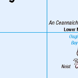
OS Map of Tarner Island
Height: 69m / 226ft • Prominence: 69m / 226ft • Trip reports (hill-bagging)

10477 Tarner Island
30-May-23 • Dugswell2 • flickr
isleofskye oronsay p74 sib tump tidalisland lowtide tarnerisland p69 52986436958

10477 Tarner Island
Landed to the NNE then rough route to gain height to visit at least 3 likely high points but summit probably it the southern most one but needs abney level to be sure. My second BBRW of the day. Name:Tarner Island Hill number:10477 Height:69m / 226ft Parent (Ma):none RHB Section:17A: North Skye and Raasay County/UA:Highland (UA) Island:Mono Tump island Maritime area:Skye & surrounding islands Class:Tump (0-99m), SIB Grid ref:NG297386 (est) Drop:69m Col:Sea
24-May-23 • Dugswell2 • flickr
isleofskye tarnerisland p69 sib tump 52999772171

10477 Tarner Island b
24-May-23 • Dugswell2 • flickr
isleofskye tarnerisland p69 sib tump 52999925639

10477 Tarner Island c
24-May-23 • Dugswell2 • flickr
isleofskye tarnerisland p69 sib tump 53000147815
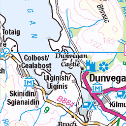
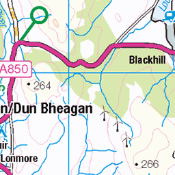
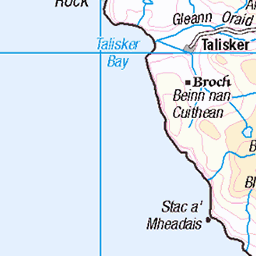
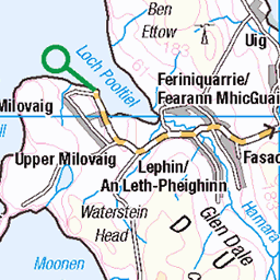
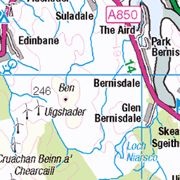
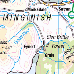
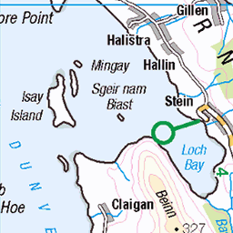
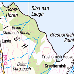
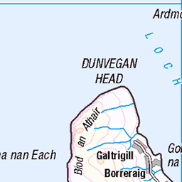
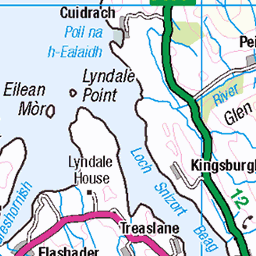
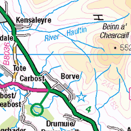
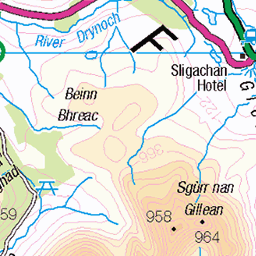
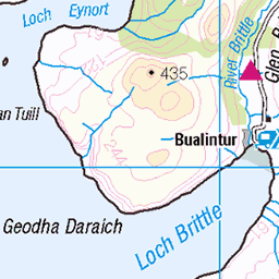
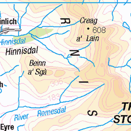
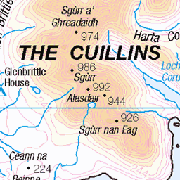
OS Map
This is OS mapping. In some areas, OpenStreetMap shows more footpaths
Spatial NI has online OSNI mapping. Click "Basemap Gallery" (4 squares icon at the top).
Now would be a good time for a cup of tea.


GPX Editor
Record map clicks
Reload map
Photos
Please tag your photos and upload them to the British and Irish Mountains group on Flickr
The other photos have been geo-tagged as on or around the summit. For less busy mountains, it can be a little hit and miss.
10477 Tarner Island
30-May-23 • Dugswell2 • flickr
isleofskye oronsay p74 sib tump tidalisland lowtide tarnerisland p69 52986436958
10477 Tarner Island
Landed to the NNE then rough route to gain height to visit at least 3 likely high points but summit probably it the southern most one but needs abney level to be sure. My second BBRW of the day. Name:Tarner Island Hill number:10477 Height:69m / 226ft Parent (Ma):none RHB Section:17A: North Skye and Raasay County/UA:Highland (UA) Island:Mono Tump island Maritime area:Skye & surrounding islands Class:Tump (0-99m), SIB Grid ref:NG297386 (est) Drop:69m Col:Sea
24-May-23 • Dugswell2 • flickr
isleofskye tarnerisland p69 sib tump 52999772171
10477 Tarner Island b
24-May-23 • Dugswell2 • flickr
isleofskye tarnerisland p69 sib tump 52999925639
10477 Tarner Island c
24-May-23 • Dugswell2 • flickr
isleofskye tarnerisland p69 sib tump 53000147815
Videos
Start up and fly of two helicopter PDG near Talisker Distillery Isle of Skye, Scotland. Accensione e volo di due elicotteri PDG vicino ...
Thinking of visiting Cath Waters Scottish Landscape Art Studio on the Isle of Skye? This short video shows the short but incredibly ...
Some drone shots of the beautiful Talisker bay on Isle of Skye, Scotland. Comes with its own beach, waterfall and just perfection ...
Tour Scotland travel video clip of seals on visit to Loch Dunvegan, Scottish Gaelic: Loch Dhùn Bheagain, on the West coast of the ...
Tour Scotland travel video clip, with Scottish music, of Loch Bracadale on visit to the West Coast of Isle of Skye. Inner Hebride.
Notes
- Data: Database of British and Irish Hills v18.2
- Maps: We use OS mapping for England, Scotland, Wales, and the Isle of Man. Sadly, Channel Islands, Northern (OSNI) and Southern Ireland (OSI) mapping isn't available online, so we use Openstreetmap.