Hills of Britain and Ireland
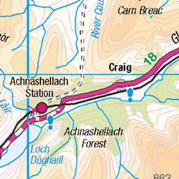
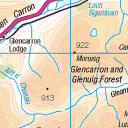
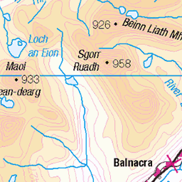
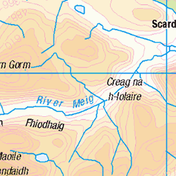
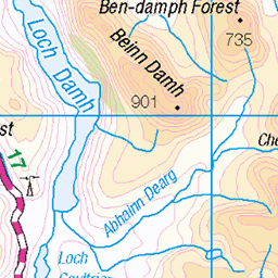
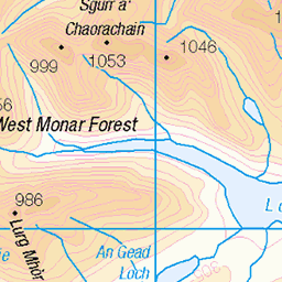
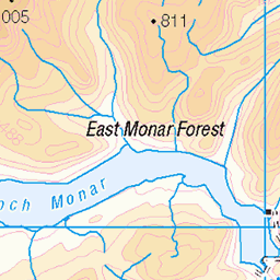
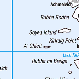
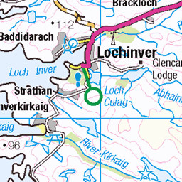
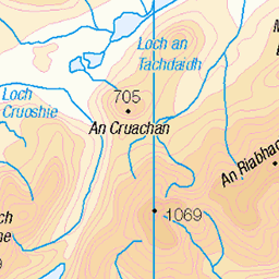
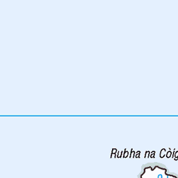
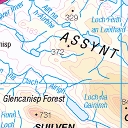
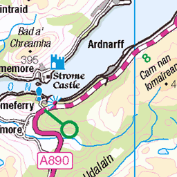
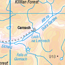
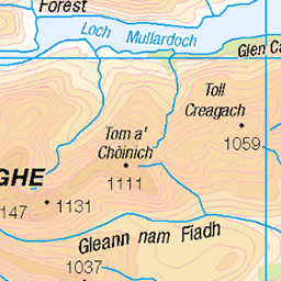
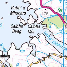
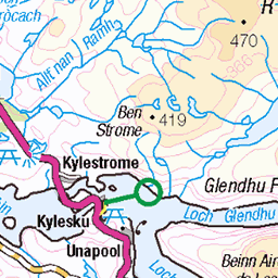
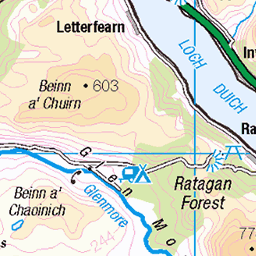
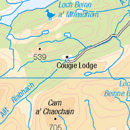
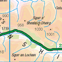
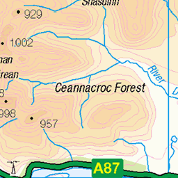
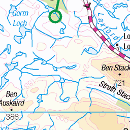
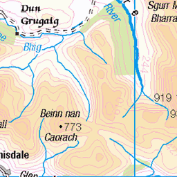
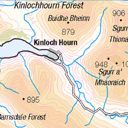
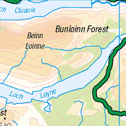
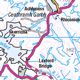
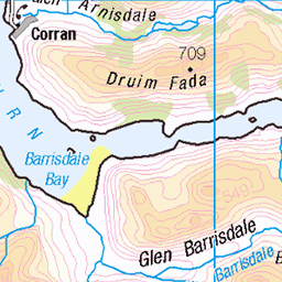
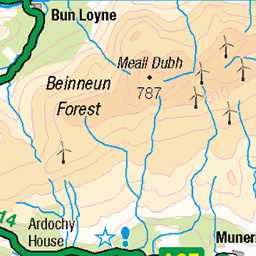
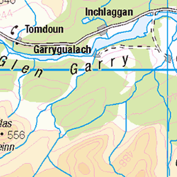
OS Map of Beinn Dearg Mor
Height: 906m / 2973ft • Prominence: 564m / 1850ft • Summit : rock on S side of large cairn • Trip reports (hill-bagging)

Beinn Dearg Bheag from Beinn Dearg Mhor
28-Apr-12 • Paul Sammonds • flickr
mountain scotland an toll loch lochain dearg beinn bheag 7131538743

Beinn a' Chlaidheimh from Gleann na Muice Beag
28-Apr-12 • Paul Sammonds • flickr
mountain scotland na gleann beinn beag a muice chlaidheimh 7131540779

The head corrie of Gleann na Muice beag
uk camping scotland ross highlands hiking rossshire 2253551314

Allt Gleann na Muice beag
uk camping scotland ross highlands hiking rossshire 2252757257
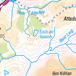
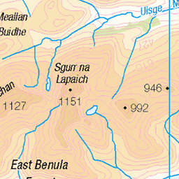
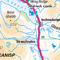
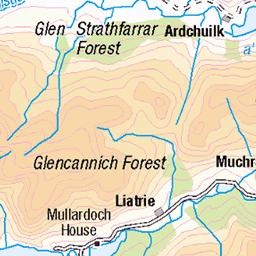
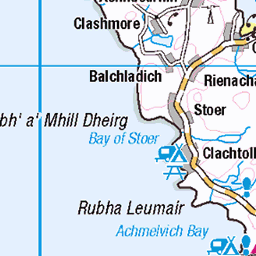
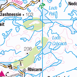
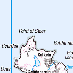
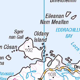
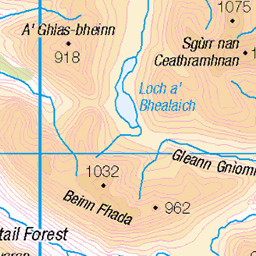
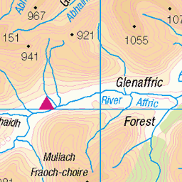
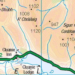
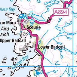
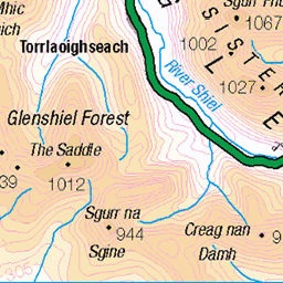
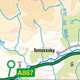
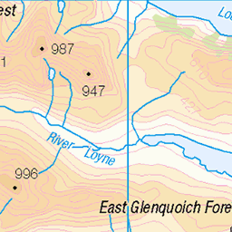
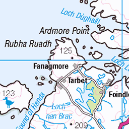
OS Map
This is OS mapping. In some areas, OpenStreetMap shows more footpaths
Spatial NI has online OSNI mapping. Click "Basemap Gallery" (4 squares icon at the top).
Now would be a good time for a cup of tea.


GPX Editor
Record map clicks
Reload map
Photos
Please tag your photos and upload them to the British and Irish Mountains group on Flickr
The other photos have been geo-tagged as on or around the summit. For less busy mountains, it can be a little hit and miss.
Beinn Dearg Bheag from Beinn Dearg Mhor
28-Apr-12 • Paul Sammonds • flickr
mountain scotland an toll loch lochain dearg beinn bheag 7131538743
Beinn a' Chlaidheimh from Gleann na Muice Beag
28-Apr-12 • Paul Sammonds • flickr
mountain scotland na gleann beinn beag a muice chlaidheimh 7131540779
The head corrie of Gleann na Muice beag
uk camping scotland ross highlands hiking rossshire 2253551314
Allt Gleann na Muice beag
uk camping scotland ross highlands hiking rossshire 2252757257
Videos
View from the top of Beinn Dearg Morr 910 m a.s.l..
Taking on three of the most remote Scottish Corbetts and camping out in Fisherfield. In this video I climb Beinn Dearg Bheag and ...
3 days hiking & wild camping in Fisherfield. We walk from Poolewe and summit camp on A' Mhaighdean. Next again day we hike ...
A cinematic journey in Microsoft Flight Simulator 2020 starting from Gruinard, heading south east over Loch Na Sealga and past ...
Kinlochewe Forest,Fisherfield. Slioch reaches a height of 981metres 3218 feetand towering above the south east of Scotland ...
Notes
- Data: Database of British and Irish Hills v18.2
- Maps: We use OS mapping for England, Scotland, Wales, and the Isle of Man. Sadly, Channel Islands, Northern (OSNI) and Southern Ireland (OSI) mapping isn't available online, so we use Openstreetmap.