Hills of Britain and Ireland
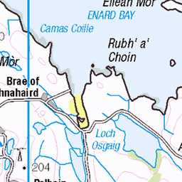
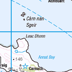
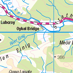
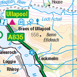
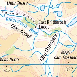
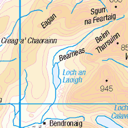
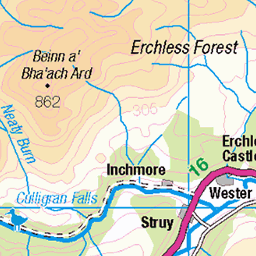
OS Map of Eilean na Saille
Height: 36m / 118ft • Prominence: 36m / 118ft • Trip reports (hill-bagging)

10119 Eilean na Saille
Three tops bagged.
19-Jun-16 • Dugswell2 • flickr
eileannasaille sib tump p36 28733953840

10119 Eilean na Saille a
Sixth SIB of eleven today via Seascape RIB. Name:Eilean na Saille Hill number:10119 Height:36m / 118ft Parent (Ma):none Section:16A: Cape Wrath Peninsula County/UA:Highland (UA) Maritime Area:Handa, Laxford & Loch Inchard Island:Mono Tump island Class:Tump (0-99m), SIB Grid ref:NC180533 (est) Drop:36m Col:Sea
19-Jun-16 • Dugswell2 • flickr
eileannasaille sib tump p36 29019972195
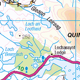
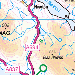
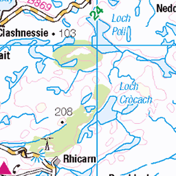
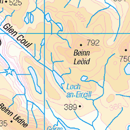
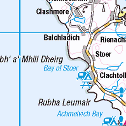
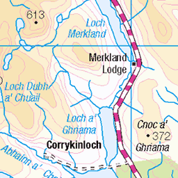
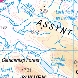
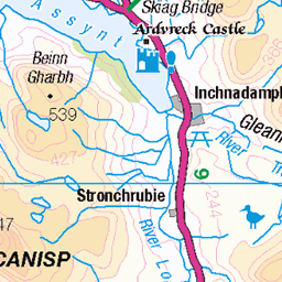
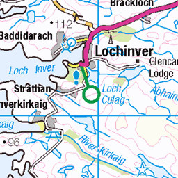
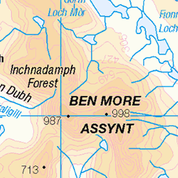
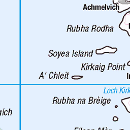
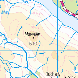
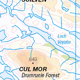
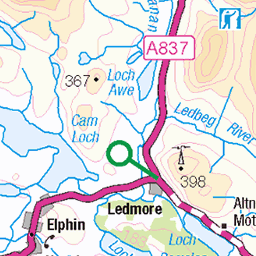
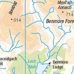
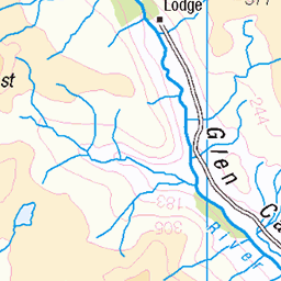
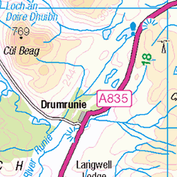
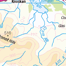
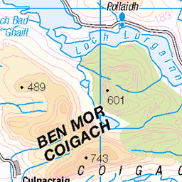
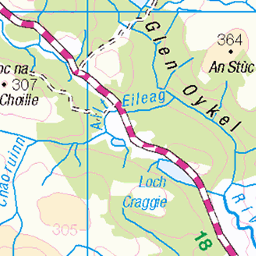
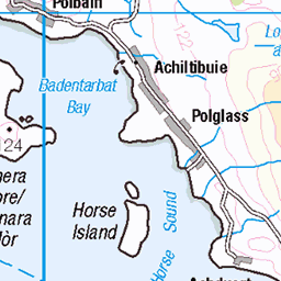
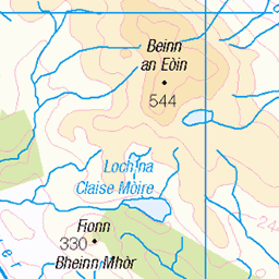
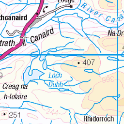
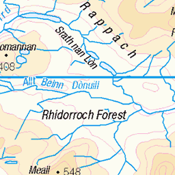
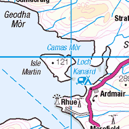
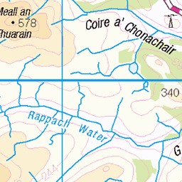
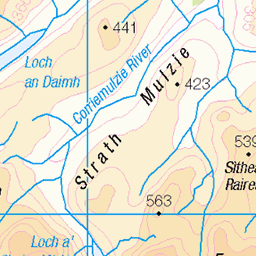
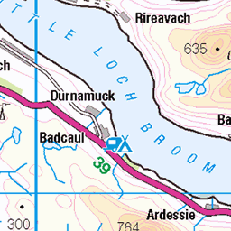
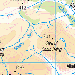
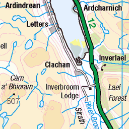
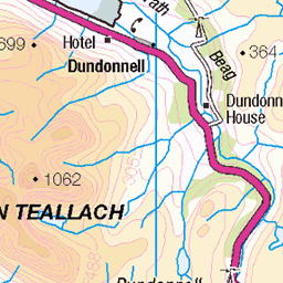
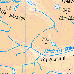
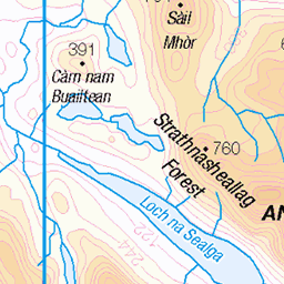
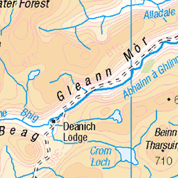
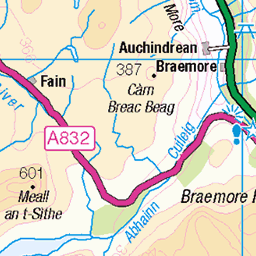
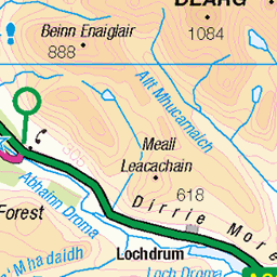
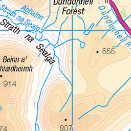
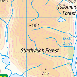
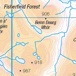
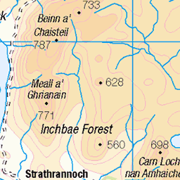
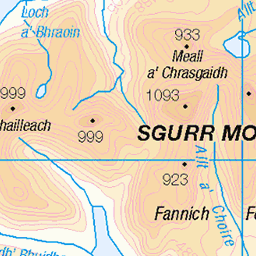
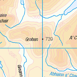
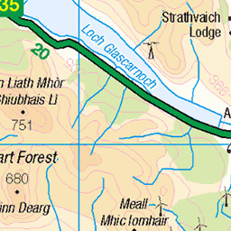
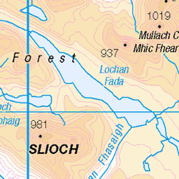
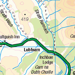
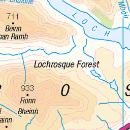
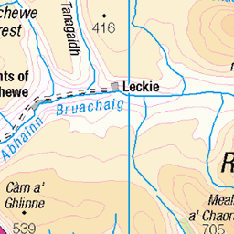
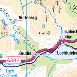
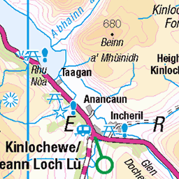
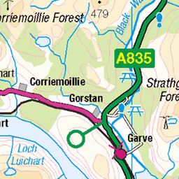
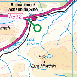
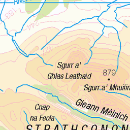
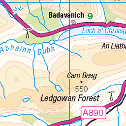
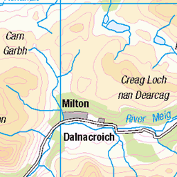
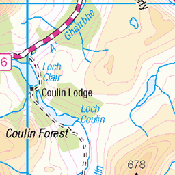
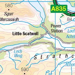
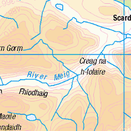
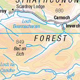
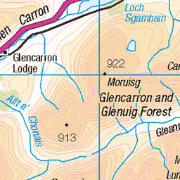
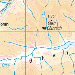
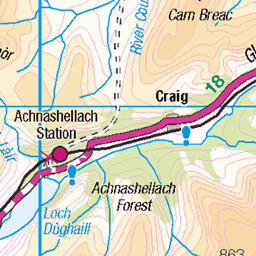
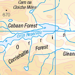
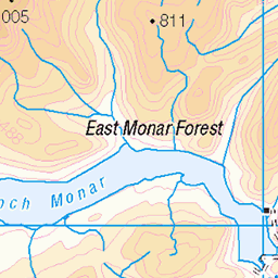
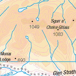
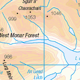
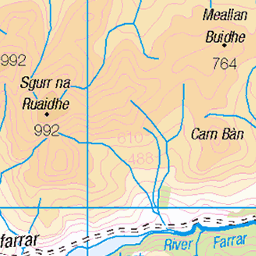
OS Map
This is OS mapping. In some areas, OpenStreetMap shows more footpaths
Spatial NI has online OSNI mapping. Click "Basemap Gallery" (4 squares icon at the top).
Now would be a good time for a cup of tea.


GPX Editor
Record map clicks
Reload map
Photos
Please tag your photos and upload them to the British and Irish Mountains group on Flickr
The other photos have been geo-tagged as on or around the summit. For less busy mountains, it can be a little hit and miss.
10119 Eilean na Saille
Three tops bagged.
19-Jun-16 • Dugswell2 • flickr
eileannasaille sib tump p36 28733953840
10119 Eilean na Saille a
Sixth SIB of eleven today via Seascape RIB. Name:Eilean na Saille Hill number:10119 Height:36m / 118ft Parent (Ma):none Section:16A: Cape Wrath Peninsula County/UA:Highland (UA) Maritime Area:Handa, Laxford & Loch Inchard Island:Mono Tump island Class:Tump (0-99m), SIB Grid ref:NC180533 (est) Drop:36m Col:Sea
19-Jun-16 • Dugswell2 • flickr
eileannasaille sib tump p36 29019972195
Videos
None found
Notes
- Data: Database of British and Irish Hills v18.2
- Maps: We use OS mapping for England, Scotland, Wales, and the Isle of Man. Sadly, Channel Islands, Northern (OSNI) and Southern Ireland (OSI) mapping isn't available online, so we use Openstreetmap.