Hills of Britain and Ireland
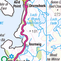
OS Map of A' Chleit
Height: 38m / 125ft • Prominence: 38m / 125ft • Trip reports (hill-bagging)

10114 A'Chleit
Tricky windy landing and departing this lovely island with its wild flowers. Name:A'Chleit Hill number:10114 Height:38m / 125ft Parent (Ma):none Section:16F: Lochinver to Ullapool County/UA:Highland (UA) Maritime Area:Enard Bay Island:Mono Tump island Class:Tump (0-99m), SIB Grid ref:NC028205 (est) Drop:38m Col:Sea
22-Jun-16 • Dugswell2 • flickr
achleit sib tump p38 29015788516

10114 A'Chleit a
View west from the lower east top.
22-Jun-16 • Dugswell2 • flickr
achleit sib tump p38 28972608251

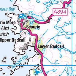
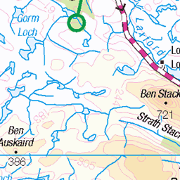
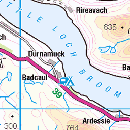
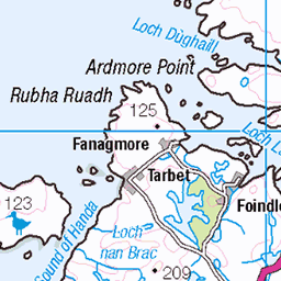
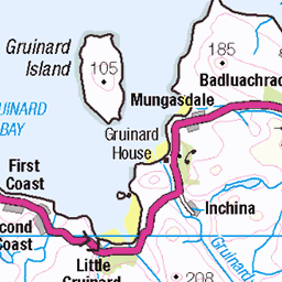
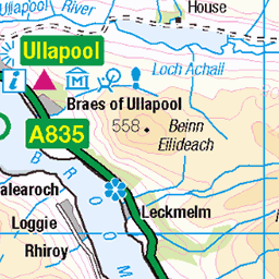
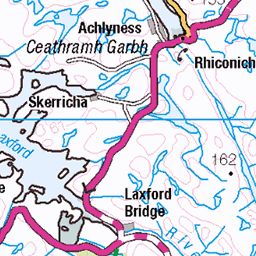
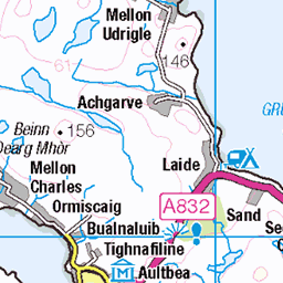
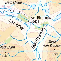
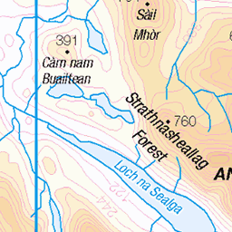
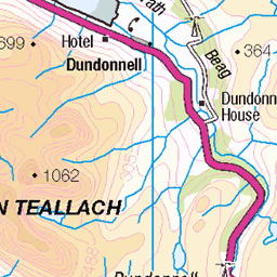
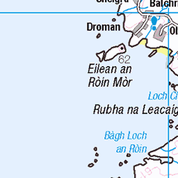
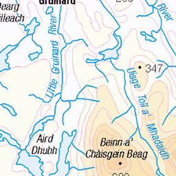
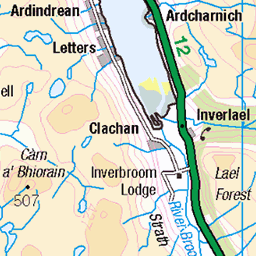
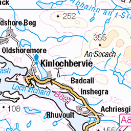
OS Map
This is OS mapping. In some areas, OpenStreetMap shows more footpaths
Spatial NI has online OSNI mapping. Click "Basemap Gallery" (4 squares icon at the top).
Now would be a good time for a cup of tea.


GPX Editor
Record map clicks
Reload map
Photos
Please tag your photos and upload them to the British and Irish Mountains group on Flickr
The other photos have been geo-tagged as on or around the summit. For less busy mountains, it can be a little hit and miss.
10114 A'Chleit
Tricky windy landing and departing this lovely island with its wild flowers. Name:A'Chleit Hill number:10114 Height:38m / 125ft Parent (Ma):none Section:16F: Lochinver to Ullapool County/UA:Highland (UA) Maritime Area:Enard Bay Island:Mono Tump island Class:Tump (0-99m), SIB Grid ref:NC028205 (est) Drop:38m Col:Sea
22-Jun-16 • Dugswell2 • flickr
achleit sib tump p38 29015788516
10114 A'Chleit a
View west from the lower east top.
22-Jun-16 • Dugswell2 • flickr
achleit sib tump p38 28972608251
Videos
None found
Notes
- Data: Database of British and Irish Hills v18.2
- Maps: We use OS mapping for England, Scotland, Wales, and the Isle of Man. Sadly, Channel Islands, Northern (OSNI) and Southern Ireland (OSI) mapping isn't available online, so we use Openstreetmap.