Hills of Britain and Ireland
OS Map of An Cleireach

Approaching Loch Broom; The Minch, Highlands, Scotland.
www.michaelleek.co.uk" rel="noreferrer nofollow www.michaelleek.co.uk
08-Jul-22 • Michael Leek Photography • flickr
theminch theminches westernscotland westernhighlands scotland scottishlandscapes scottishcoastline scotlandslandscapes britain europe travel2022 travel ullapool lochbroom scotlandsweather bw blackandwhite noir michaelleek michaelleekphotography 52697737296


Approaching Ullapool
08-Sep-18 • Donald Morrison • flickr
ullapool caledonianmcbrayne ferry calmac lochseaforth sea harbour coast 29680838767


Snow capped mountains
square squareformat mayfair iphoneography instagramapp uploaded:by=instagram foursquare:venue=4ecbaeaa469068520c328d1e 13093646423

Sunset on the MV Isle of Lewis #nofilters
square squareformat iphoneography instagramapp uploaded:by=instagram foursquare:venue=4ecbaeaa469068520c328d1e 13093845324
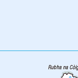
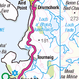
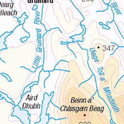
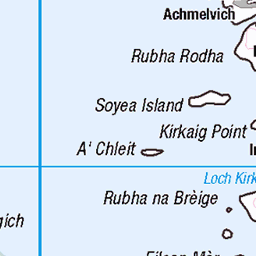
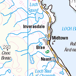
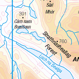
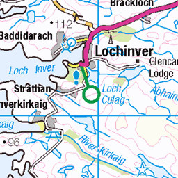
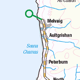
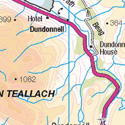
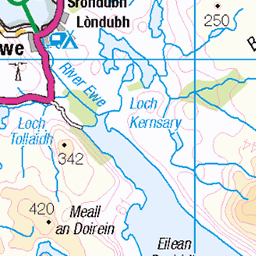
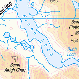
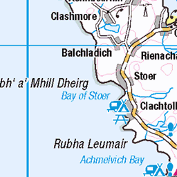
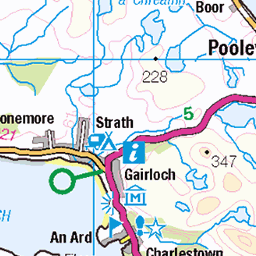
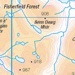
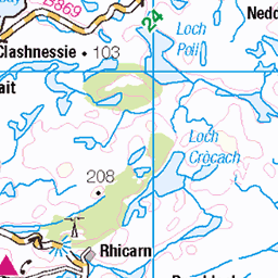
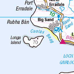
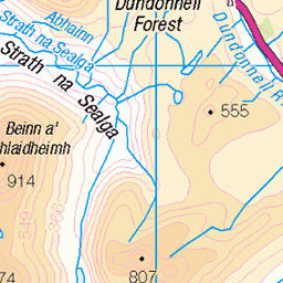
OS Map
This is OS mapping. In some areas, OpenStreetMap shows more footpaths
Spatial NI has online OSNI mapping. Click "Basemap Gallery" (4 squares icon at the top).
Now would be a good time for a cup of tea.


GPX Editor
Record map clicks
Reload map
Photos
Please tag your photos and upload them to the British and Irish Mountains group on Flickr
The other photos have been geo-tagged as on or around the summit. For less busy mountains, it can be a little hit and miss.
Approaching Loch Broom; The Minch, Highlands, Scotland.
www.michaelleek.co.uk" rel="noreferrer nofollow www.michaelleek.co.uk
08-Jul-22 • Michael Leek Photography • flickr
theminch theminches westernscotland westernhighlands scotland scottishlandscapes scottishcoastline scotlandslandscapes britain europe travel2022 travel ullapool lochbroom scotlandsweather bw blackandwhite noir michaelleek michaelleekphotography 52697737296
Approaching Ullapool
08-Sep-18 • Donald Morrison • flickr
ullapool caledonianmcbrayne ferry calmac lochseaforth sea harbour coast 29680838767
Snow capped mountains
square squareformat mayfair iphoneography instagramapp uploaded:by=instagram foursquare:venue=4ecbaeaa469068520c328d1e 13093646423
Sunset on the MV Isle of Lewis #nofilters
square squareformat iphoneography instagramapp uploaded:by=instagram foursquare:venue=4ecbaeaa469068520c328d1e 13093845324

2009-05-n3-3358
Photograph by Peter Asprey (DolphinPix). Taken 6.50 km from Obinan in Scotland United Kingdom. GPS Latitude/Longitude:57.944880/-5.496160. Copyright Peter Asprey.
23-May-09 • dolphinpix • flickr
scotland unitedkingdom obinan 4539844791

2009-05-n3-3359
Photograph by Peter Asprey (DolphinPix). Taken 6.50 km from Obinan in Scotland United Kingdom. GPS Latitude/Longitude:57.944880/-5.496160. Copyright Peter Asprey.
23-May-09 • dolphinpix • flickr
scotland unitedkingdom obinan 4540478672

2009-05-n3-3361
Photograph by Peter Asprey (DolphinPix). Taken 6.50 km from Obinan in Scotland United Kingdom. GPS Latitude/Longitude:57.944880/-5.496160. Copyright Peter Asprey.
23-May-09 • dolphinpix • flickr
scotland unitedkingdom obinan 4539845261

2009-05-n3-3360
Photograph by Peter Asprey (DolphinPix). Taken 6.50 km from Obinan in Scotland United Kingdom. GPS Latitude/Longitude:57.944880/-5.496160. Copyright Peter Asprey.
23-May-09 • dolphinpix • flickr
scotland unitedkingdom obinan 4540478808
Videos
None found
Notes
- Data: Database of British and Irish Hills v18.2
- Maps: We use OS mapping for England, Scotland, Wales, and the Isle of Man. Sadly, Channel Islands, Northern (OSNI) and Southern Ireland (OSI) mapping isn't available online, so we use Openstreetmap.